South Downs Way At A Glance
Distance: 100 miles (160 km)
Start: Winchester, Hampshire
Finish: Eastbourne, East Sussex
National Park: South Downs National Park
Highest Point: Butser Hill (270m)
Typical Duration: 6 to 9 days
Difficulty: Moderate to challenging
Best For: Walkers looking for an accessible long distance National Trail
Navigation: OS Maps app and OS Explorer maps
Officially opened: 1972
South Downs Way Interactive Map
The South Downs Way offers one of Britain’s finest long distance walking experiences. Stretching for 100 miles across the rolling chalk hills of southern England, the route combines expansive views, historic landmarks and easy access from major towns and cities.
Unlike the rugged mountain terrain of northern National Trails, the South Downs Way is defined by open ridges, ancient paths and sweeping panoramas. Walkers pass through picturesque villages, cross flower rich chalk grasslands and enjoy spectacular coastal scenery before reaching the dramatic white cliffs at Eastbourne.
The trail follows ancient routes that have been used for thousands of years and provides an excellent introduction to long distance walking. Whether you’re tackling the whole route or walking it in sections, the South Downs Way delivers a rewarding journey through one of England’s most cherished landscapes.
South Downs Way Walk Map FAQs
Why do most people walk The South Downs Way South to North?
Where can I find an online map of the South Downs Way?
Is there a single paper map for the South Downs Way route?
Which Ordnance Survey Maps do I need for the South Downs Way?
Is the South Downs Way route available on the OS Maps app?
How long is the South Downs Way?
Where does the walk start and finish?
Is the South Downs Way difficult?
Do I need good navigation skills?
Is the South Downs Way safe for coastal walking
Why do most people walk the South Downs Way West to East?
Most walkers travel west to east, beginning in Winchester and finishing in Eastbourne. This direction allows walkers to build towards the dramatic finale of Beachy Head and the Seven Sisters viewpoints near the coast. The prevailing south westerly winds can also provide some assistance on exposed ridge sections.
Where can I find an online map of the South Downs Way?
You can explore the entire route on OS Maps using the interactive map above. It shows the full journey from Winchester to Eastbourne, allowing you to view stages, terrain and nearby facilities while planning your walk.
Premium OS Maps users can also access detailed topographic mapping and 3D Flythrough features.
Is there a single paper map for the South Downs Way route?
No. The South Downs Way crosses several map areas and cannot be covered by a single OS Explorer map. Most walkers use either digital mapping through OS Maps or a collection of Explorer maps covering the route.
Which Ordnance Survey maps do I need for the South Downs Way?
OS Explorer OL8 Chichester
OS Explorer OL10 Arundel and Pulborough
OS Explorer OL11 Brighton and Hove
OS Explorer OL25 Eastbourne and Beachy Head
OS Explorer OL32 Winchester
EXPLORE THE
OS Shop
We are with you every step of the way. Shop our trusted walking and hiking maps and guidebooks so you can explore the outdoors with confidence.
Go to the shopIs the South Downs Way route available on the OS Maps app?
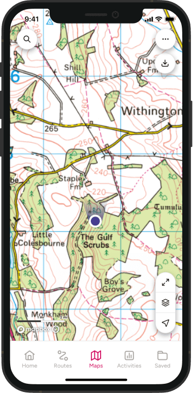
Yes. The full National Trail route can be viewed on OS Maps, allowing you to explore the trail online, plan daily stages and navigate using your phone while walking. Premium members can also print off stages of the route.
How long is the South Downs Way?
The South Downs Way is approximately 100 miles (160 km) long and runs entirely through the South Downs National Park.
Most walkers complete the trail in around six to nine days.
Where does the walk start and finish?
The South Downs Way traditionally begins at Winchester in Hampshire and finishes at Eastbourne in East Sussex.
Is the South Downs Way difficult?
The South Downs Way is less demanding than trails such as the Pennine Way or Coast to Coast, but it should not be underestimated. The route involves constant ascents and descents along the chalk escarpment and can feel strenuous over multiple days.
Do I need good navigation skills?
The trail is generally well waymarked and easier to navigate than many National Trails. However, carrying reliable mapping remains essential, particularly in poor weather, at road crossings and when planning accommodation or alternative routes.
Is the South Downs Way safe for coastal walking?
The South Downs Way is generally a safe and well maintained National Trail, but walkers should take extra care on the coastal sections between Alfriston and Eastbourne, particularly around Beachy Head and the Seven Sisters.
Chalk cliffs can be unstable and can collapse without warning, often several metres back from the visible edge. Stay well away from cliff edges at all times and keep dogs under close control.
Before setting out:
- Stay on signed paths and National Trail routes.
- Keep back from cliff edges, especially after wet weather.
- Take extra care in strong winds.
- Check weather forecasts before walking exposed coastal sections.
- Carry enough water as there are long stretches with limited facilities.
- Wear suitable footwear as chalk paths can become slippery when wet.
- Download offline mapping in OS Maps in case of poor mobile signal.
Suggested South Downs Way Itinerary
Here is the National Trail’s popular 8-day breakdown:
Winchester to Beacon Hill – 11 miles (17.7km)
Starting in the historic city of Winchester, the South Downs Way quickly leaves urban streets behind for wide open chalk downland and rolling Hampshire countryside. The route eases walkers into the trail, with just one notable climb up to Cheesefoot Head, where expansive views across the surrounding landscape provide an early taste of what lies ahead. Beyond this, the terrain is relatively gentle, making it a rewarding opening section for those beginning the full National Trail.
Beacon Hill to Old Winchester Hill – 4.5 miles (7.2km)
Although short, this stage packs in some of the South Downs’ finest landscapes. The route links two National Nature Reserves, crossing flower rich chalk grassland and climbing steadily onto both Beacon Hill and Old Winchester Hill. After Beacon Hill, the trail briefly splits, with separate routes for walkers and for cyclists and horse riders, before reuniting near the village of Exton, a useful stop for refreshments and facilities.
Old Winchester Hill to Buriton – 12 miles (19.3km)
This section continues across open downland before climbing towards Butser Hill, the highest point on the South Downs Way at 270 metres. The summit rewards the effort with far reaching views across Hampshire and Sussex. Facilities are close by, with food, drink and toilets available near the summit and at the nearby Queen Elizabeth Country Park visitor centre. A short detour leads to Buriton, a traditional village with accommodation, pubs and cafés for walkers tackling the trail over several days.
Buriton to Cocking Hill – 10 miles (16.1km)
From Buriton onwards, the South Downs Way settles into the ridge-top walking that defines much of the National Trail. Following the crest of the South Downs, this stage passes the sweeping slopes of Harting Down and the mysterious Devil’s Jumps, a series of Bronze Age burial mounds near Treyford. There are good links down into Harting village for accommodation, food and public transport connections, while Cocking provides another convenient overnight stop at the end of the stage.
Cocking Hill to Amberley – 12 miles (19.3km)
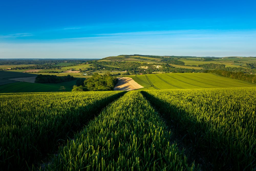
Leaving Cocking behind, the route climbs steadily through the landscapes around Charlton Forest before continuing onto Bignor Hill. From here, the trail eventually descends towards the River Arun and the picturesque village of Amberley. With its station, accommodation options, pubs and cafés, Amberley is one of the most popular stopping points along the trail and marks roughly the halfway point of the South Downs Way.
Amberley to River Adur – 13 miles (20.9km)
One of the more demanding sections begins with a steep pull up to Amberley Mount. Once on the ridge, the route returns to gentler gradients before dropping towards Washington. The trail crosses the busy A24 near here, with a safer alternative route using a bridge to the north. Further east, another climb leads to Chanctonbury Ring, one of the South Downs’ most recognisable landmarks, before the route descends towards the River Adur.
River Adur to River Ouse – 21 miles (33.8km)
This is the longest stage on the trail and one of the most rewarding. After a steep initial climb, the route passes the dramatic landscape of Devil’s Dyke before continuing east across the Sussex Downs. At Ditchling Beacon, the highest point on the Sussex Downs at 248 metres, walkers are treated to spectacular views towards Brighton and the coast. The trail then skirts around Lewes, where plenty of food, drink and accommodation options make it a popular rest stop, before descending towards the River Ouse.
River Ouse to River Cuckmere and Alfriston – 7 miles (11.3km)
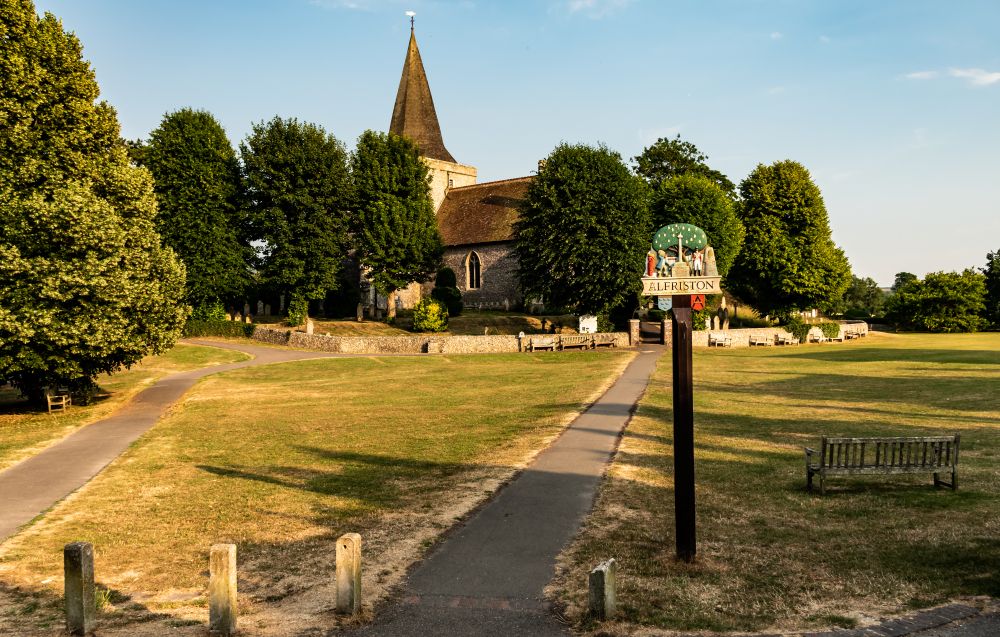
A steady climb from the River Ouse leads onto Itford Hill and onwards to Firle Beacon, one of the most impressive viewpoints on the entire South Downs Way. From the summit, the trail gradually descends towards the attractive village of Alfriston. Several paths drop from the ridge along this section, offering opportunities to detour for refreshments or explore nearby villages before continuing east.
Alfriston to Eastbourne
The final section of the South Downs Way offers two distinct routes to Eastbourne, each providing a memorable finish to the trail. Horse riders and cyclists must follow the inland route via Jevington, while walkers can choose between either option.
1. Via Seven Sisters – 10.5 miles (16.9km)
For many walkers, this is the iconic finale. Following the meandering Cuckmere River, the route heads towards Seven Sisters Country Park and the dramatic white cliffs that have become synonymous with the South Downs coastline. Expect a series of steep climbs and descents before the final ascent to Beachy Head. From England’s highest chalk sea cliff, the trail finishes with a descent into Eastbourne and a well earned view of the coast.
2. Via Jevington – 8.5 miles (13.7km)
Quieter and more sheltered than the coastal alternative, this route climbs steadily onto Windover Hill, where a short detour reveals views of the Long Man of Wilmington chalk figure. The trail then drops steeply through woodland to the hamlet of Jevington before one final climb over Willingdon Hill. A gradual descent brings the South Downs Way to its eastern end in Eastbourne.
Use the South Downs Way map above to start planning your route, discover key landmarks and prepare for one of England’s most accessible and rewarding National Trails.
From Winchester’s historic streets to the white cliffs of Eastbourne, the South Downs Way offers a memorable journey through rolling chalk landscapes, rich wildlife habitats and centuries of history.
With trusted Ordnance Survey mapping, you’ll have everything you need to explore with confidence.
Explore More of our National Parks

By Hilary Pullen
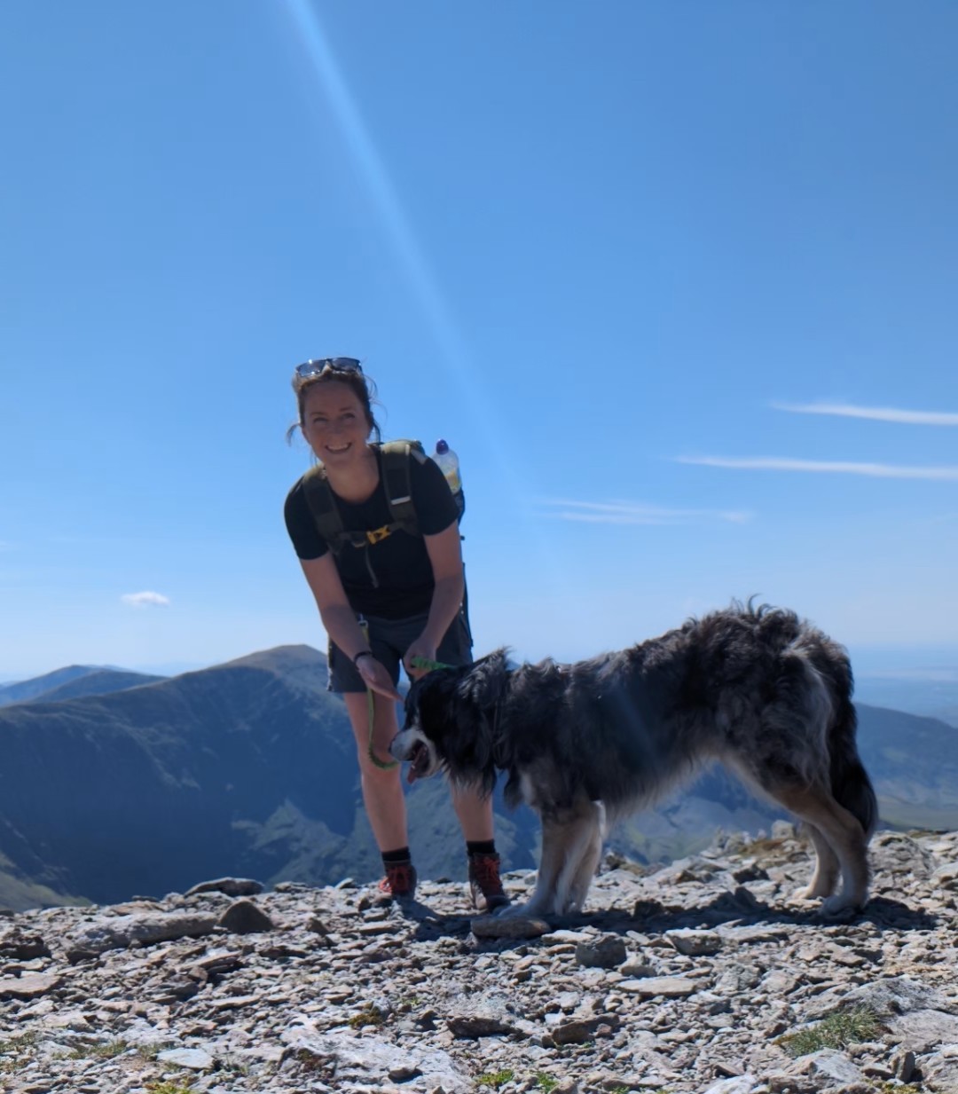
Meet Hilary, Editor of OS Maps Discover. Hilary is based in North Wales and loves hiking with her dogs in the mountains of Eryri and Bryniau Clwyd, you can find her on Instagram @nearlyuphill and read her guides to walking in North Wales.
If you would like to be a featured OS Author and write an article or route guide find out more here – how to submit an article idea