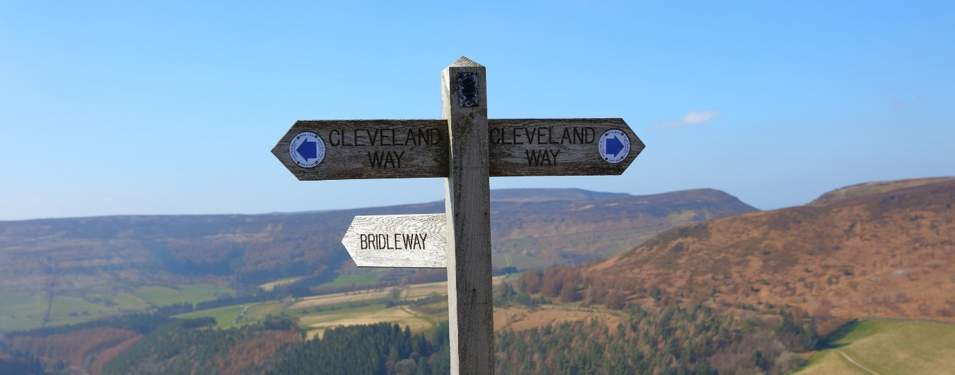
Cleveland Way At A Glance
Distance: 109 miles (175km)
Start: Helmsley, North Yorkshire
Finish: Filey Brigg, North Yorkshire
National Park: North York Moors National Park
Highest Point: Urra Moor, 454m
Typical Duration: 8 to 10 days
Difficulty: Moderate to challenging
Best For: Moorland scenery, coastal walking and dramatic cliff top views
Navigation: OS Maps app and OS Explorer maps
Cleveland Way Interactive Map
The Cleveland Way is one of England’s classic National Trails, taking walkers on a 109 mile journey through the North York Moors and along some of the country’s most spectacular coastline.
Starting in the market town of Helmsley, the route first crosses the heather covered landscapes of the North York Moors National Park before reaching the North Sea coast at Saltburn by the Sea. From there, it follows dramatic cliffs, hidden coves and historic seaside towns all the way to Filey Brigg.
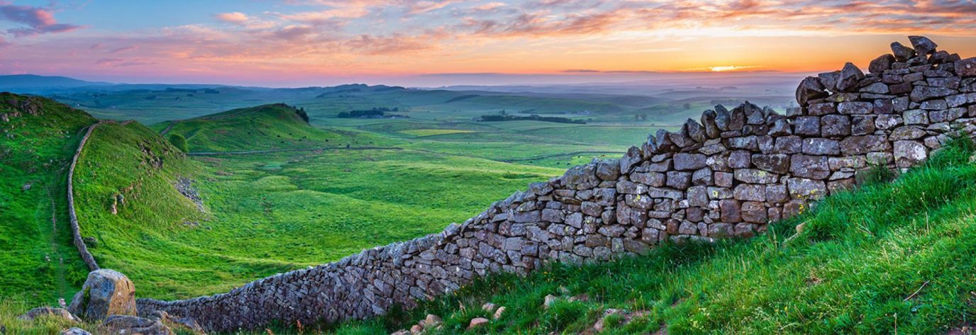
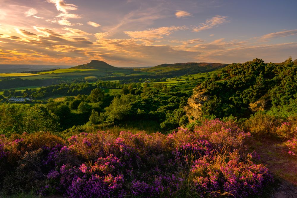
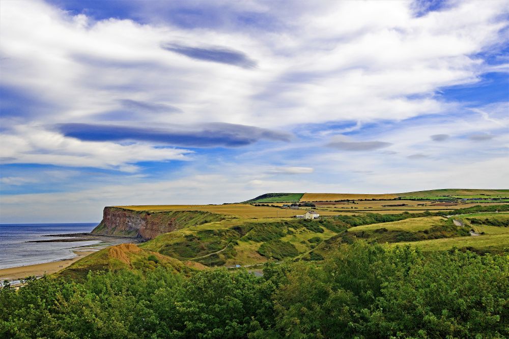
The trail combines two very different walking experiences. Inland, you’ll find sweeping moorland views, ancient tracks and iconic landmarks such as the White Horse of Kilburn and Roseberry Topping. Along the coast, the route passes fishing villages, fossil rich cliffs and some of the highest sea cliffs on England’s east coast.
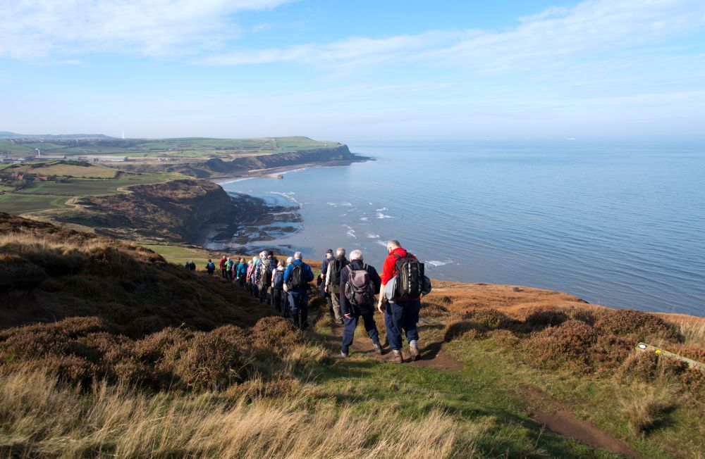
The Cleveland Way was officially opened in 1969 and was the second National Trail to be established in England and Wales.
The Cleveland Way Route OS Maps
Cleveland Way Map FAQs
- Why do most people walk the Cleveland Way clockwise?
- Where can I find an online map of the Cleveland Way?
- Is there a single paper map for the Cleveland Way?
- Which Ordnance Survey maps do I need for the Cleveland Way?
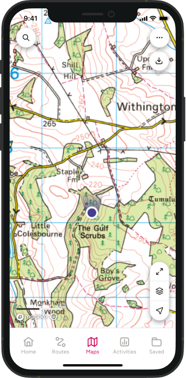
- Is the Cleveland Way available on the OS Maps app?
- How long is the Cleveland Way?
- Where does the walk start and finish?
- Is the Cleveland Way difficult?
- When is the best time to walk the Cleveland Way?
- Suggested Cleveland Way itinerary
Why do most people walk the Cleveland Way clockwise?
Most walkers start in Helmsley and walk clockwise towards Filey.
This direction follows the route used by most guidebooks and often means prevailing winds are behind you on sections of the coast. It also allows walkers to experience the trail’s changing landscapes gradually, moving from moorland scenery to increasingly dramatic coastal views.
Where can I find an online map of the Cleveland Way?
You can explore the entire route using the interactive map above. It shows the full National Trail from Helmsley to Filey Brigg, helping you plan stages, identify accommodation and locate transport links along the route.
Premium OS Maps users can also access detailed mapping, route planning tools and 3D Flythrough.
Is there a single paper map for the Cleveland Way?
No.
The route passes through several OS Explorer map areas across the North York Moors and Yorkshire coast, so there is no single Explorer map covering the entire National Trail.
Many walkers use OS Maps to plan and navigate the route or carry the relevant Explorer maps for the sections they are walking.
Which Ordnance Survey maps do I need for the Cleveland Way?
The trail crosses several OS Explorer map areas, including:
- OL26 North York Moors Western Area
- OL27 North York Moors Eastern Area
EXPLORE THE
OS Shop
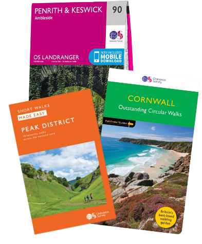
We are with you every step of the way. Shop our trusted walking and hiking maps and guidebooks so you can explore the outdoors with confidence.
Go to the shopIs the Cleveland Way available on the OS Maps app?
Yes.
The complete Cleveland Way route can be viewed in OS Maps, making it easy to plan daily stages, navigate on the trail and explore nearby facilities and attractions.
Premium users can also download maps and routes for offline use.
How long is the Cleveland Way?
The Cleveland Way is 109 miles (175km) long and typically takes around nine days to complete. Many walkers divide the trail into shorter sections or complete it over several weekends.
Where does the walk start and finish?
The Cleveland Way officially starts in Helmsley and finishes at Filey Brigg on the Yorkshire coast. The route forms a horseshoe around the North York Moors, crossing upland moorland before following the coast south past Whitby, Robin Hood’s Bay and Scarborough.
Is the Cleveland Way difficult?
The Cleveland Way is generally considered a moderate to challenging long distance walk.
While it does not involve mountain terrain, the route includes steep climbs across the Cleveland Hills and repeated ascents and descents along the coast. The coastal section in particular can feel surprisingly demanding due to the constant changes in elevation.
Anyone with a reasonable level of fitness can enjoy the trail, but preparation is recommended, especially for those new to multi day walking.
Do I need good navigation skills?
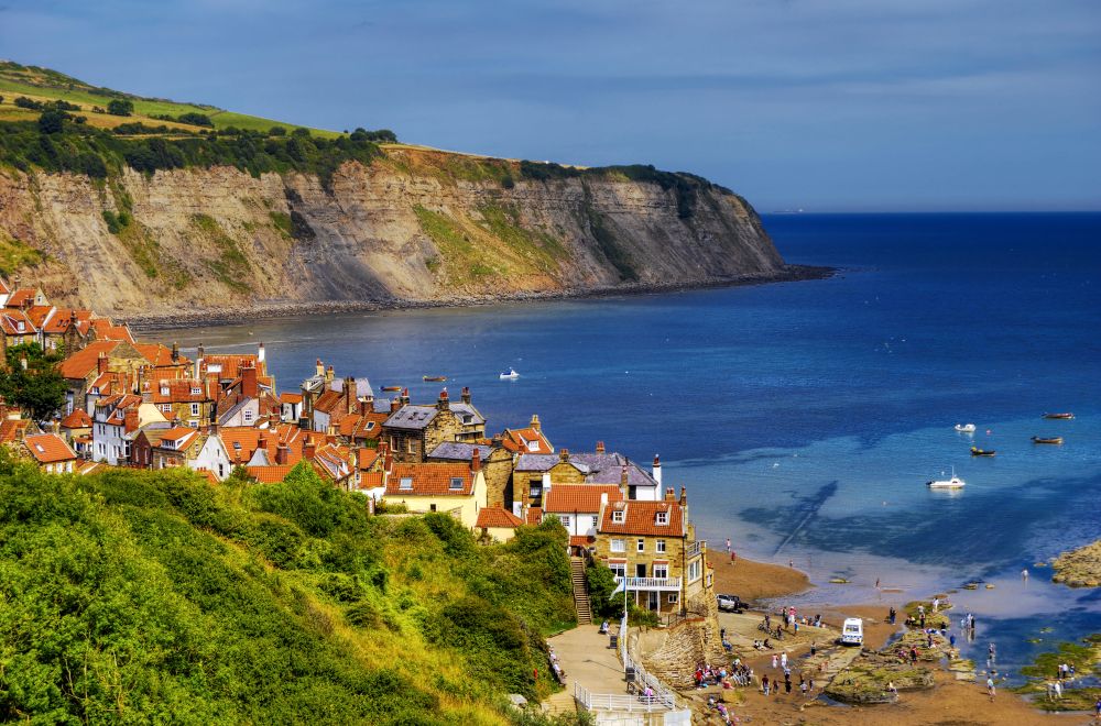
The Cleveland Way is well waymarked throughout with National Trail acorn signs. [gov.uk]
However, carrying reliable mapping is always recommended. Navigation tools can help you find accommodation, plan alternative routes, locate refreshment stops and deal with diversions or poor weather.
When is the best time to walk the Cleveland Way?
The trail can be walked year round, but late spring through early autumn offers the most favourable conditions. One of the most popular times to visit is late August and early September, when the North York Moors turn purple with flowering heather.
Summer brings long daylight hours and lively coastal towns, while spring offers quieter trails and abundant wildlife. Winter can provide beautiful clear days, although exposed coastal and moorland sections can be challenging in poor weather.
Suggested Cleveland Way Itinerary
Helmsley to Osmotherley – 21 miles (34km)
A rewarding first stage through the southern edge of the North York Moors, passing Rievaulx Abbey, the White Horse of Kilburn and the dramatic escarpment at Sutton Bank.
Osmotherley to Clay Bank – 19 miles (31km)
Follow the Cleveland Hills ridge through some of the most rugged moorland scenery on the trail, with expansive views across North Yorkshire.
Clay Bank to Great Ayton – 12 miles (19km)
One of the most memorable inland stages, crossing Urra Moor, the trail’s highest point, before continuing towards Great Ayton.
Great Ayton to Saltburn by the Sea – 12 miles (19km)
Pass the iconic Roseberry Topping before reaching the North Sea coast and beginning the coastal section of the route.
Saltburn by the Sea to Staithes – 10 miles (16km)
A dramatic coastal stage with cliffs, hidden beaches and spectacular sea views.
Staithes to Whitby – 20 miles (32km)
One of the trail’s best loved sections, passing Runswick Bay, Sandsend and the striking coastline leading into Whitby.
Whitby to Scarborough – 20 miles (32km)
Walk through Robin Hood’s Bay and Ravenscar while enjoying some of the most scenic coastal walking in England.
Scarborough to Filey Brigg – 15 miles (24km)
The final stage follows the coast south to Filey Brigg, where expansive sea views provide a memorable finish to the trail.