Explore. Plan. Navigate.
Discover Britain’s National Trails and most iconic long distance walks. Compare routes, find trail inspiration, access OS Maps route collections and browse expert guides to help you plan your next adventure.
What are National Trails?
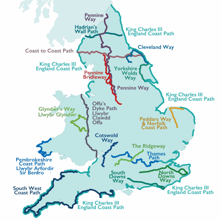
National Trails span more than 3,600 miles across England and Wales, taking walkers through some of the nation’s finest landscapes. Below, you’ll find interactive OS Maps for every National Trail, along with the OS paper maps needed to plan your journey. We’ve also created in depth guides to help you confidently take on these iconic long distance routes.
Use these quick links to find info about each National Trail
South West Coast Path | Coast to Coast Walk | Pennine Way | Thames Path | South Downs Way | Cotswold Way | North Downs Way | Hadrian’s Wall Path | Cleveland Way | Pembrokeshire Coast Path | The Ridgeway | Offa’s Dyke Path | Yorkshire Wolds Way | Peddars Way & Norfolk Coast Path | Glyndŵr’s Way | Pennine Bridleway | King Charles III England Coast Path
Questions, feedback or National Trail issues?
Use the official National Trail contact form to report a problem, ask accessibility questions, or learn about volunteering opportunities. For issues on public rights of way, including blocked paths, poor maintenance or misleading signs, contact the local council responsible for that area. Enter the postcode of the affected location to find the correct council using the link below.
South West Coast Path
📍 South West England
🥾 630 miles (1,014km)
🏴 England | 🟠 Experienced Walker | 🌊 Coastal
Best for: Coastal scenery, section walking, end to end challenges
Officially opened: 1998
South West Coast Path Interactive Map
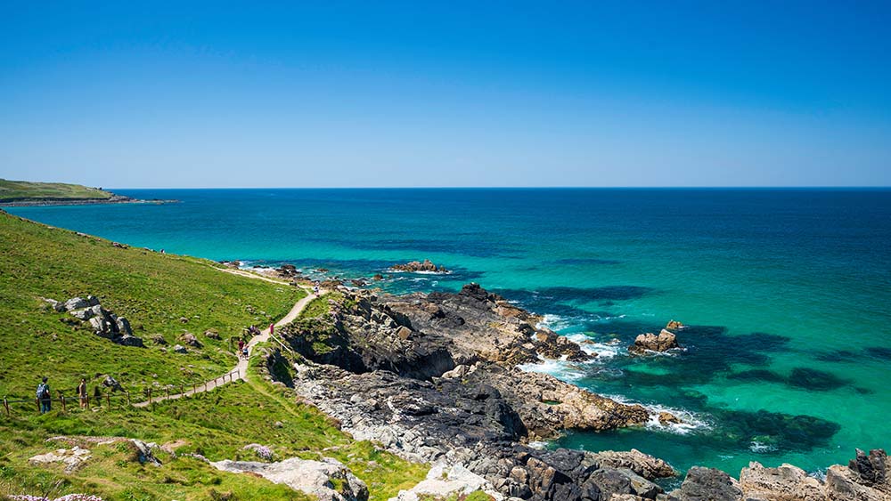
England’s longest National Trail follows the spectacular coastline of Somerset, Devon, Cornwall and Dorset. From dramatic cliffs and hidden coves to bustling harbour towns and sandy beaches, it is one of Britain’s greatest walking adventures.
Which Ordnance Survey Maps do I need for The South West Coast Path?
OS Explorer 102 Land’s End
OS Explorer 103 The Lizard
OS Explorer 104 Redruth and St Agnes
OS Explorer 105 Falmouth and Mevagissey
OS Explorer 106 Newquay and Padstow
OS Explorer 107 St Austell and Liskeard
OS Explorer 108 Lower Tamar Valley and Plymouth
OS Explorer 109 Bodmin Moor
OS Explorer OL44 Torquay and Dawlish
OS Explorer 111 Bude, Boscastle and Tintagel
OS Explorer 115 Exmouth and Sidmouth
OS Explorer 116 Lyme Regis and Bridport
OS Explorer 126 Clovelly and Hartland
OS Explorer 139 Bideford, Ilfracombe and Barnstaple
OS Explorer OL15 Purbeck and South Dorset
OS Explorer OL20 South Devon
OS Explorer OL9 Exmoor
Coast to Coast Walk
📍 Cumbria, Yorkshire Dales & North York Moors
🥾 197 miles (317km)
🏴 England | 🟠 Experienced Walker | 🏆 End to End Classic
Best for: Multi day adventures, National Parks, classic challenges
Officially opened: 2026
Coast to Coast Walk Interactive Map
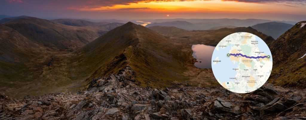
Cross England from the Irish Sea to the North Sea on one of Britain’s most celebrated long distance walks. Passing through the Lake District, Yorkshire Dales and North York Moors, it offers an unforgettable end to end journey through three iconic landscapes.
Which Ordnance Survey Maps do I need for The Coast to Coast Path?
OL4, OL5, OL7, OL19, OL26, OL27, OL30, 302, 303 and 304. By buying all ten OS Explorer maps together your save 20% from normal prices.
OS Explorer Wainwright’s Coast-to-Coast Walk map set
The Pennine Way
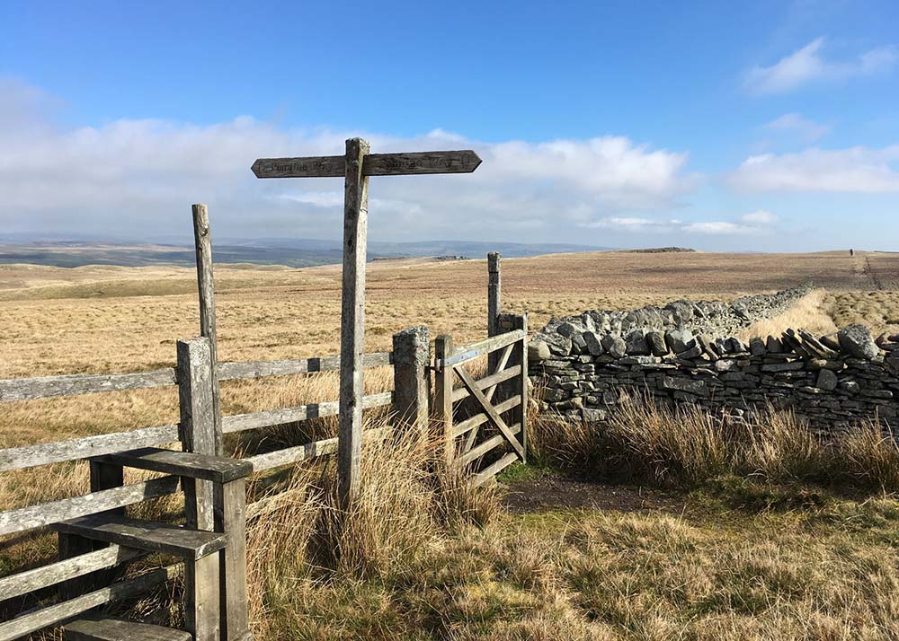
📍 Peak District to Scottish Borders
🥾 268 miles (431km)
🏴 England | 🔴 Challenging | 🏆 End to End Classic
Best for: Experienced walkers, upland scenery, long distance challenges
Officially opened: 1965
The Pennine Way Interactive Map
Britain’s first National Trail remains one of its most demanding. Crossing the backbone of England through the Peak District, Yorkshire Dales and Northumberland, the Pennine Way rewards walkers with wild moorland, expansive views and a real sense of achievement.
Which Ordnance Survey Maps do I need for The Pennine Way?
OS Explorer OL1 The Peak District – Dark Peak Area
OS Explorer OL16 The Cheviot Hills
OS Explorer OL19 Howgill Fells and Upper Eden Valley
OS Explorer OL2 Yorkshire Dales – Southern and Western Area
OS Explorer OL21 South Pennines
OS Explorer OL30 Yorkshire Dales – Northern and Central Area
OS Explorer OL31 North Pennines
OS Explorer OL42 Kielder Water and Forest
OS Explorer OL43 Hadrian’s Wall
Thames Path

📍 Gloucestershire to London
🥾 185 miles (298km)
🏴 England | 🟢 Beginner Friendly | 🌿 Riverside
Best for: First long distance walks, riverside scenery, flexible sections
Officially opened: 1996
Thames Path Interactive Map
Follow England’s most famous river from its source in the Cotswolds through historic towns, water meadows and the heart of London. The Thames Path is one of the country’s most accessible National Trails.
Which Ordnance Survey Maps do I need for the Thames Path
OS Explorer 160 Windsor, Weybridge and Bracknell
OS Explorer 161 London South
OS Explorer 162 Greenwich and Gravesend
OS Explorer 168 Stroud, Tetbury and Malmesbury
OS Explorer 169 Cirencester and Swindon
OS Explorer 170 Abingdon, Wantage and Vale of White Horse
OS Explorer 171 Chiltern Hills West
OS Explorer 172 Chiltern Hills East
OS Explorer 173 London North
OS Explorer 180 Oxford
South Downs Way
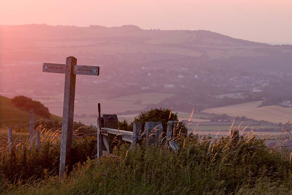
📍 Hampshire & Sussex
🥾 100 miles (160km)
🏴 England | 🟢 Beginner Friendly | ⛰️ National Park
Best for: Beginners, National Park landscapes, weekend sections
Officially opened: 1972
South Downs Way Interactive Map
Stretching across the South Downs National Park, this trail combines sweeping chalk ridges, ancient hillforts and big sky views. It’s one of the UK’s most accessible long distance routes.
Which Ordnance Survey Maps do I need for The South Downs Way?
OS Explorer OL8 Chichester
OS Explorer OL10 Arundel and Pulborough
OS Explorer OL11 Brighton and Hove
OS Explorer OL25 Eastbourne and Beachy Head
OS Explorer OL32 Winchester
Cotswold Way
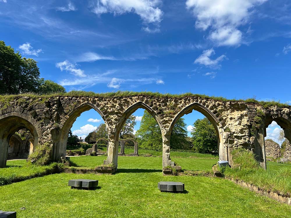
📍 The Cotswolds
🥾 102 miles (164km)
🏴 England | 🟢 Beginner Friendly | 🏛 Historic
Best for: Scenic countryside, first National Trails, heritage landscapes
Officially opened: 2007
Cotswold Way Interactive Map
Discover rolling hills, honey coloured villages and panoramic escarpment views on this classic National Trail between Chipping Campden and Bath.
Which Ordnance Survey Maps do I need for The Cotswold Way?
OS Explorer 155 Bristol and Bath
OS Explorer 167 Thornbury, Dursley and Yate
OS Explorer 168 Stroud, Tetbury and Malmesbury
OS Explorer 179 Gloucester, Cheltenham and Stroud
OS Explorer OL45 The Cotswolds
North Downs Way
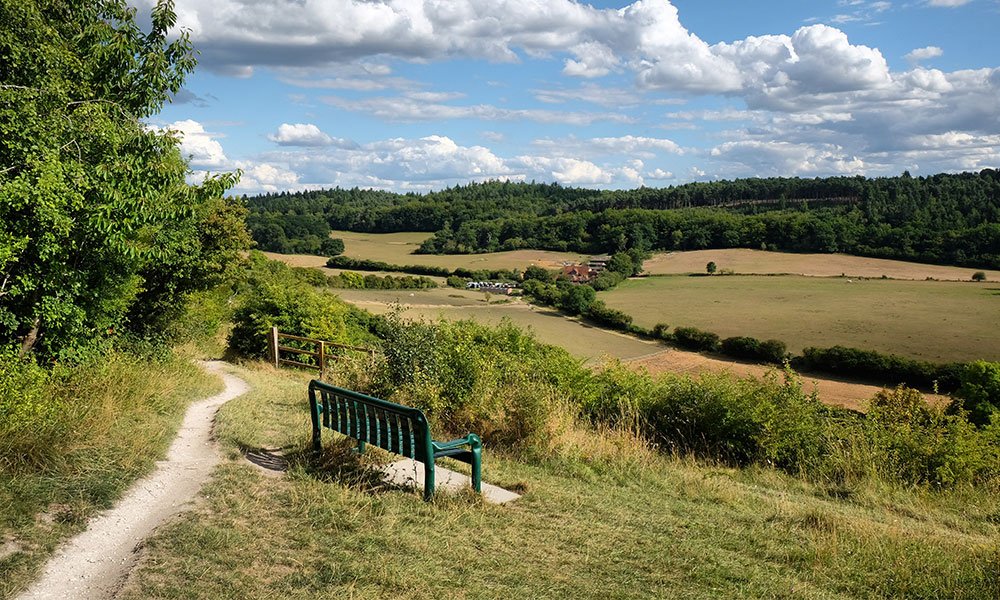
📍 Surrey & Kent
🥾 153 miles (246km)
🏴 England | 🟠 Experienced Walker | 🏛 Historic
Best for: History, chalk landscapes, multi day walks
Officially opened: 1978
North Downs Way Interactive Map
Following ancient tracks and pilgrim routes, the North Downs Way links the Surrey Hills to the White Cliffs of Dover through woodland, chalk grassland and historic landscapes.
Which Ordnance Survey Maps do I need for The North Downs Way?
OS Explorer 137 Ashford
OS Explorer 138 Dover, Folkestone and Hythe
OS Explorer 145 Guildford and Farnham
OS Explorer 146 Dorking, Box Hill and Reigate
OS Explorer 147 Sevenoaks and Tonbridge
OS Explorer 148 Maidstone and the Medway Towns
OS Explorer 149 Sittingbourne and Faversham
OS Explorer 150 Canterbury and the Isle of Thanet
Hadrian’s Wall Path
📍 Northern England
🥾 84 miles (135km)
🏴 England | 🟢 Beginner Friendly | 🏛 Historic
Best for: History lovers, first National Trails, heritage experiences
Officially opened: 2003
Hadrian’s Wall Path Interactive Map
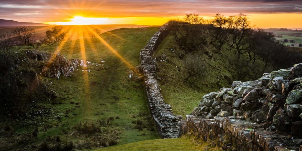
Walk coast to coast alongside the northern frontier of the Roman Empire. This unique trail brings together fascinating archaeology and beautiful Northumberland scenery.
Which Ordnance Survey Maps do I need for The Hadrians Wall Path?
OS Explorer 314 Solway Firth
OS Explorer 315 Carlisle
OS Explorer 316 Newcastle upon Tyne
OS Explorer OL43 Hadrian’s Wall
Cleveland Way
📍 North York Moors & Yorkshire Coast
🥾 110 miles (177km)
🏴 England | 🟠 Experienced Walker | 🌊 Coastal
Best for: Coastal scenery, moorland walking, wildlife
Officially opened: 1969
Cleveland Way Interactive Map
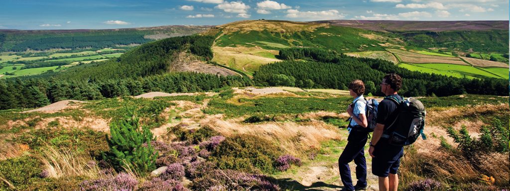
Combining heather moorland and dramatic coastline, the Cleveland Way showcases the best of the North York Moors National Park.
Which Ordnance Survey Maps do I need for The Cleveland Way?
OS Explorer 301 Scarborough, Bridlington and Flamborough Head
OS Explorer OL26 North York Moors Western area
OS Explorer OL27 North York Moors Eastern area
Pembrokeshire Coast Path
📍 West Wales
🥾 186 miles (299km)
🏴 Wales | 🟠 Experienced Walker | 🌊 Coastal
Best for: Coastal adventures, wildlife, photography
Officially opened: 1973
Pembrokeshire Coast Path Interactive Map
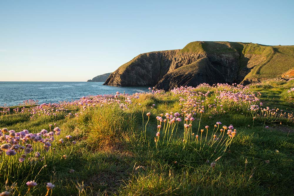
One of Britain’s finest coastal walks, passing towering sea cliffs, sandy beaches, wildlife rich islands and spectacular ocean views.
Which Ordnance Survey Maps do I need for The Pembrokeshire Coast Path?
OS Explorer OL35 North Pembrokeshire
OS Explorer OL36 South Pembrokeshire
The Ridgeway

📍 Wiltshire, Berkshire, Oxfordshire & Buckinghamshire
🥾 87 miles (139km)
🏴 England | 🟢 Beginner Friendly | 🏛 Historic
Best for: Ancient history, big views, first long distance walks
Officially opened: 1993
The Ridgeway Interactive Map
Often described as Britain’s oldest road, The Ridgeway follows ancient pathways used for thousands of years across rolling chalk downs, prehistoric landscapes and sweeping countryside views. It’s one of the most accessible and rewarding National Trails for a first multi day adventure.
Which Ordnance Survey Maps do I need for The Ridgeway?
OS Explorer 157: Marlborough & Savernake Forest
OS Explorer 169: Cirencester & Swindon
OS Explorer 170: Abingdon, Wantage & Vale of White Horse
OS Explorer 171: Chiltern Hills West
OS Explorer 181: Chiltern Hills North
Offa’s Dyke Path
📍 England–Wales Border
🥾 177 miles (285km)
🏴 England + 🏴 Wales | 🟠 Experienced Walker | 🏛 Historic
Best for: Border country landscapes, history, long distance challenges
Officially opened: 1971
Offa’s Dyke Path Interactive map
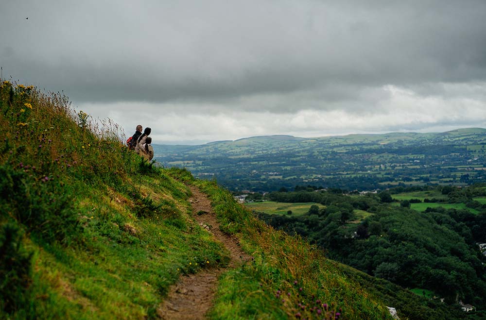
Follow the line of the 8th century earthwork built by King Offa as this challenging trail weaves along the border between England and Wales. Expect rolling hills, remote countryside and constantly changing views between two nations.
Which Ordnance Survey Maps do I need for The Offa’s Dyke Path?
OS Explorer 201 Knighton and Presteigne
OS Explorer 216 Welshpool and Montgomery
OS Explorer 240 Oswestry
OS Explorer 256 Wrexham and Llangollen
OS Explorer 265 Clwydian Range
OS Explorer OL13 Brecon Beacons National Park Eastern area
OS Explorer OL14 Wye Valley and Forest of Dean
Yorkshire Wolds Way
📍 East Yorkshire
🥾 79 miles (127km)
🏴 England | 🟢 Beginner Friendly | 🌿 Quiet Trail
Best for: Quiet trails, countryside walking, first National Trails
Officially opened: 1982
Yorkshire Wolds Way Interactive Map
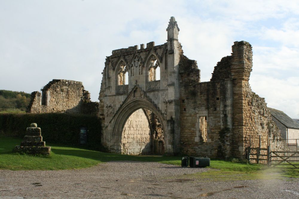
A peaceful journey through the chalk valleys and gentle hills of the Yorkshire Wolds. This quieter National Trail offers beautiful farmland scenery, charming villages and a sense of escape from some of the busier long distance routes.
Which Ordnance Survey Maps do I need for The Yorkshire Wolds Way?
OS Explorer 293 Kingston upon Hull and Beverley
OS Explorer 294 Market Weighton and Yorkshire Wolds Central
OS Explorer 300 Howardian Hills and Malton
OS Explorer 301 Scarborough, Bridlington and Flamborough Head
Peddars Way & Norfolk Coast Path
📍 Norfolk
🥾 133 miles (214km)
🏴 England | 🟠 Experienced Walker | 🌊 Coastal
Best for: Coastal walks, birdwatching, varied landscapes
Officially opened: 1986
Peddars Way & Norfolk Coast Path Interactive Map
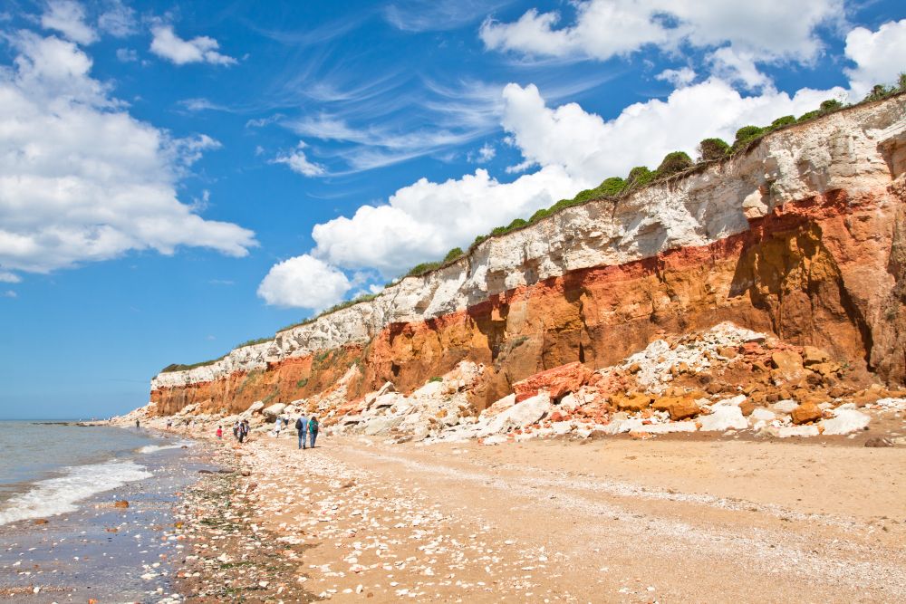
Combining a Roman road with one of England’s finest coastal paths, this trail crosses heathland, pine forest, sand dunes, salt marshes and expansive beaches beneath Norfolk’s famous big skies.
Which Ordnance Survey Maps do I need for Peddars Way?
OS Explorer 229 Thetford Forest in The Brecks
OS Explorer 236 King’s Lynn, Downham Market & Swaffham
OS Explorer 250 Norfolk Coast West
OS Explorer 251 Norfolk Coast Central
OS Explorer 252 Norfolk Coast East
OS Explorer OL40 The Broads
Glyndŵr’s Way
📍 Mid Wales
🥾 135 miles (217km)
🏴 Wales | 🟠 Experienced Walker | 🌿 Quiet Trail
Best for: Solitude, Welsh landscapes, experienced walkers
Officially opened: 2002
Glyndŵr’s Way Interactive Map
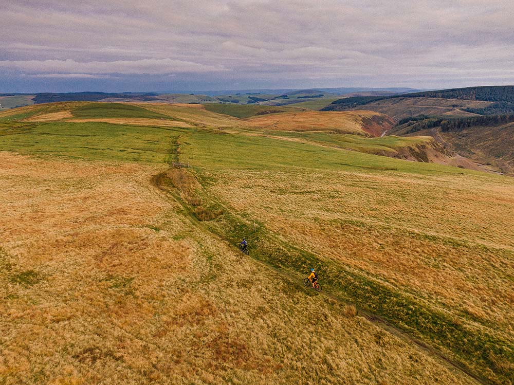
One of Britain’s quieter National Trails, Glyndŵr’s Way explores the rolling hills, forests and open landscapes of Mid Wales while celebrating the legacy of Welsh prince Owain Glyndŵr.
Which Ordnance Survey Maps do I need for Glyndwr’s Way?
OS Explorer 201 Knighton and Presteigne
OS Explorer 214 Llanidloes and Newtown
OS Explorer 215 Newtown and Machynlleth
OS Explorer OL23 Cadair Idris and Llyn Tegid
OS Explorer 239 Lake Vyrnwy and Llanfyllin
OS Explorer 216 Welshpool and Montgomery
Pennine Bridleway
📍 Peak District, Yorkshire & Cumbria
🥾 205 miles (330km)
🏴 England | 🟠 Experienced Walker | 🚴 Multi Use Trail
Best for: Multi activity adventures, upland scenery, longer challenges
Officially opened: 2012 (opened in stages)
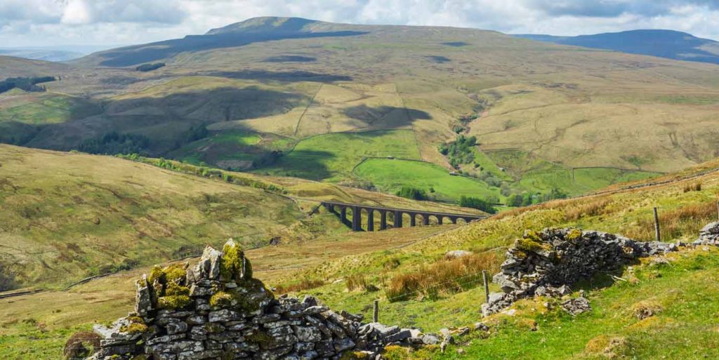
Following ancient packhorse routes, drovers’ roads and purpose built bridleways through the Pennines, this National Trail offers a different perspective on northern England’s upland landscapes. It is open to walkers, cyclists and horse riders.
Which Ordnance Survey Maps do I need for The Pennine Bridle Way?
OS Explorer OL1 The Peak District: Dark Peak Area
OS Explorer OL24 The Peak District: White Peak Area
OS Explorer OL21 South Pennines
OS Explorer OL2 Yorkshire Dales: Southern & Western Area
OS Explorer OL19 Howgill Fells & Upper Eden Valley
King Charles III England Coast Path
📍 Around the Coast of England
🥾 Developing route, eventually around 2,700 miles
🏴 England | 🟢 Beginner Friendly | 🆕 New National Trail
Best for: Coastal exploration, section walking, discovering new routes
Officially opened: opened in sections from 2012 onwards
The newest National Trail will eventually create a continuous walking route around the entire coast of England. Open sections already offer spectacular opportunities to explore cliffs, beaches, estuaries and coastal wildlife while helping shape the longest managed coastal walking route in the world.