Coast to Coast Walk at a glance
- Distance: Approximately 190 miles (306 km)
- Start: St Bees, Cumbria
- Finish: Robin Hood’s Bay, North Yorkshire
- National Parks: Lake District, Yorkshire Dales and North York Moors
- Typical duration: 12 to 16 days
- Navigation: OS Maps app or OS Explorer map bundle
- Difficulty: Challenging long-distance walk
Coast to Coast Path Interactive Map
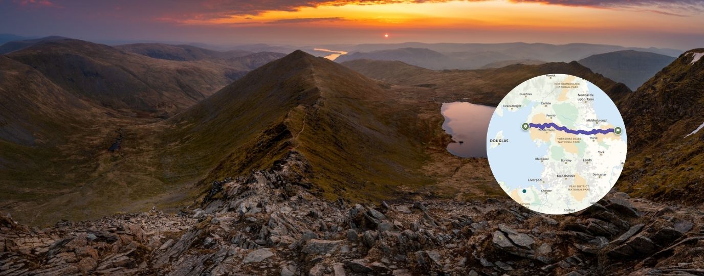
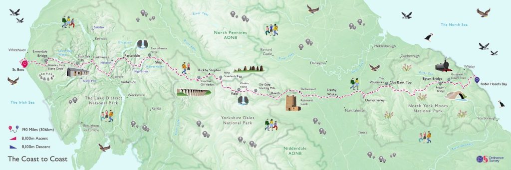
Looking for a Coast to Coast map? Explore the full route for free on the interactive OS Maps map below. This detailed Coast to Coast Walk map follows Alfred Wainwright’s famous long-distance trail from St Bees on the Irish Sea to Robin Hood’s Bay on the North Sea, crossing the Lake District, Yorkshire Dales and North York Moors.
You can zoom in to explore key sections, measure distances and start planning your own adventure. If you prefer paper navigation, the Wainwright Coast to Coast map set from Ordnance Survey includes all the Explorer maps needed to complete the walk.
The interactive Coast to Coast National Trail map above shows the full route across northern England from the Irish Sea to the North Sea. As Great Britain’s national mapping service, Ordnance Survey provides detailed mapping of the entire Coast to Coast route, helping walkers plan, navigate and explore with confidence.
Coast to Coast Walk: Frequently Asked Questions
What is the Coast to Coast Walk?
How long is the Coast to Coast Walk?
Where does the Coast to Coast Walk start and finish?
Which maps do I need?
Is there a single Coast to Coast map?
How difficult is the route?
What is the Coast to Coast Walk?
The Coast to Coast Walk is one of Britain’s most famous long-distance walking routes. Created by Alfred Wainwright, it crosses northern England from St Bees on the Irish Sea to Robin Hood’s Bay on the North Sea. Covering around 190 miles, the route passes through the Lake District, Yorkshire Dales and North York Moors, offering walkers a journey across some of England’s most varied landscapes.
Where can I find a map of the Coast to Coast Walk?
You can explore the entire route on OS Maps using the interactive map above. It shows the full journey from St Bees to Robin Hood’s Bay, making it easy to view stages, distances, terrain and nearby facilities while planning your walk.
Is there a single paper map for the Coast to Coast route?
No. The route crosses a large area of northern England, so it cannot be covered on a single OS Explorer map. Instead, walkers typically use either digital mapping through OS Maps or a collection of Explorer maps covering each section.
Which OS maps do I need for the Coast to Coast Walk?
The simplest option is the OS Explorer Wainwright’s Coast to Coast Walk map set, which includes all the Explorer maps needed to follow the route from coast to coast.
EXPLORE THE
OS Shop
We are with you every step of the way. Shop our trusted walking and hiking maps and guidebooks so you can explore the outdoors with confidence.
Go to the shopIs the Coast to Coast route available on OS Maps App?
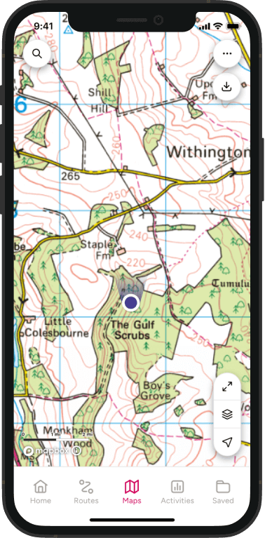
Yes. The full National Trail route can be viewed on OS Maps for free, allowing you to explore the trail online, plan daily stages and navigate using your phone while walking. Full topographic mapping is available to OS Maps Premium subscribers.
How long is the Coast to Coast Walk?
The route is approximately 190 miles (306 km) long and passes through three iconic landscapes:
Most people complete the walk in around 12 to 16 days.
Where does the walk start and finish?
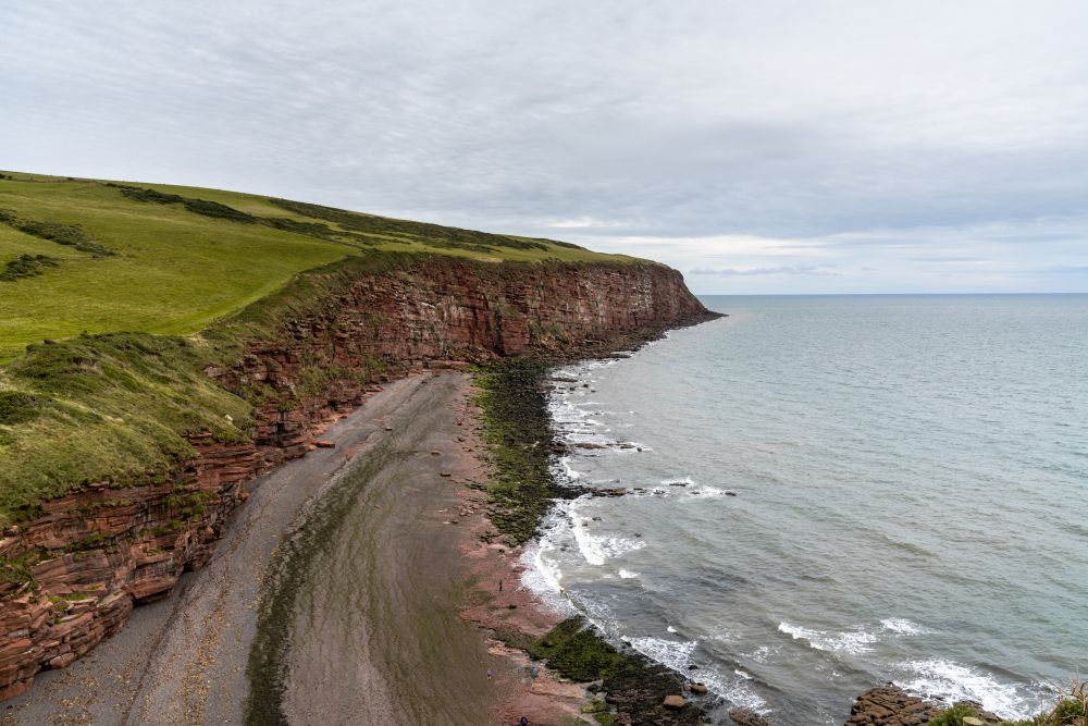
Traditionally, walkers begin at St Bees on the Cumbrian coast and finish at Robin Hood’s Bay on the North Yorkshire coast. Many follow Wainwright’s tradition of dipping a boot in the sea at both ends of the journey.
Is the Coast to Coast Walk difficult?
While no technical climbing is required, it is a challenging long distance trail. Walkers should be prepared for consecutive days of walking, significant elevation gain in places and changeable weather, particularly in the Lake District.

Do I need good navigation skills?
Good navigation skills are recommended for the Coast to Coast. Although much of the route follows established paths, poor visibility, bad weather and remote sections can make route finding more challenging. Carrying reliable mapping and knowing how to use it will help you walk with confidence.
What’s the best map for navigating the Coast to Coast Walk?
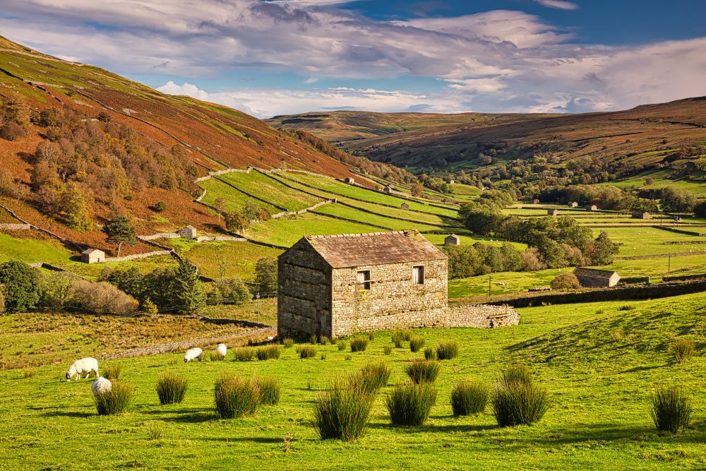
Many walkers use OS Explorer maps because the 1:25,000 scale shows detailed footpaths, rights of way, access land and landscape features. Combining Explorer mapping with the OS Maps app gives you both detailed paper mapping and digital navigation tools throughout the route.
Looking for first-hand Coast to Coast advice?
A proper celebration of hiking in England
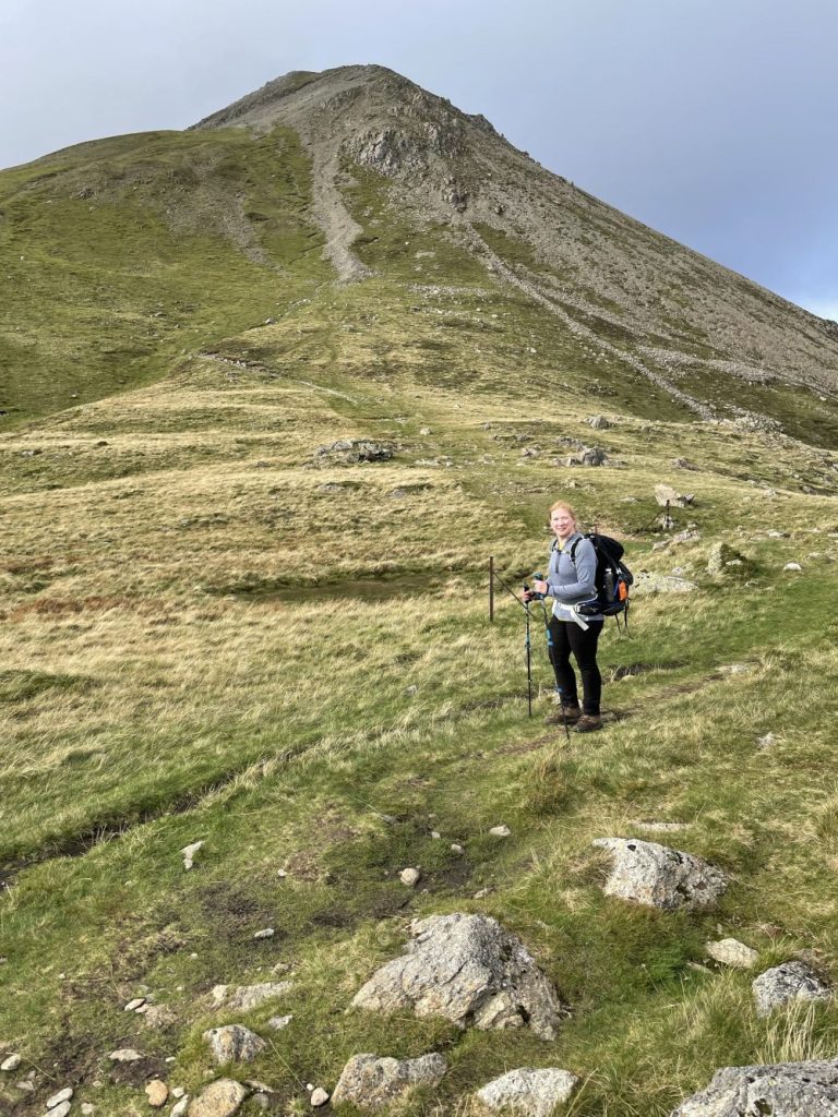
For me, the magic of the Coast to Coast lies in the deliberate engine-free crossing from one sea to the other, watching the terrain change under your feet mile by mile, walking through some of the most varied and characterful geography this country has to offer. It offers a whole slice of England: three national parks, a jumble of valleys, moors, crags, ancient woodland, and more than one wonderfully stubborn hill that makes you earn the views. This is a proper celebration of hiking in England, a route that challenges you, charms you, hopefully doesn’t break you, and in the end, leaves you feeling rather triumphant.
OS Champion – Zoe @splodz
At Ordnance Survey, we’re fortunate to have an incredible community of OS Champions who inspire others to get outside and share their hard-earned outdoor knowledge. When it comes to the Coast to Coast Path, few know it better than Zoe of Splodz Blogz.
Having completed the route herself, Zoe has answers to almost every Coast to Coast question you can think of – from planning and navigation to kit, accommodation and what it’s really like to spend two weeks walking across England. Her detailed day-by-day journal, covering all 15 days of her journey, offers an honest and inspiring insight into life on this National Trail. If you’re dreaming of taking on this iconic long-distance walk, Zoe’s account is about as close as you can get to experiencing it for yourself before lacing up your boots.
OS Maps gives you everything required to start preparing for this iconic long-distance walk. Explore the full National Trail on the interactive route map above or choose the OS Explorer Coast to Coast map bundle if you prefer navigating with paper mapping.
By Hilary Pullen
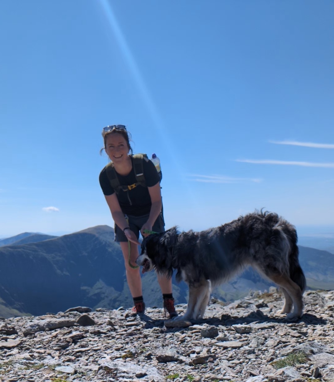
Meet Hilary, Editor of OS Maps Discover. Hilary is based in North Wales and loves hiking with her dogs in the mountains of Eryri and Bryniau Clwyd, you can find her on Instagram @nearlyuphill and read her guides to walking in North Wales.
If you would like to be a featured OS Author and write an article or route guide find out more here – how to submit an article idea