Cotswold Way At A Glance
Distance: 102 miles (164 km)
Start: Chipping Campden, Gloucestershire
Finish: Bath, Somerset
National Landscape: Cotswolds National Landscape
Highest Point: Cleeve Hill (330m)
Typical Duration: 7 to 10 days
Difficulty: Moderate
Best For: Scenic countryside walking, historic landscapes and first National Trails
Navigation: OS Maps app and OS Explorer maps
Officially completed: 2007
Cotswold Way Interactive Map
The Cotswold Way is one of England’s most scenic National Trails, stretching 102 miles from the beautiful market town of Chipping Campden to the historic city of Bath.
Following the western edge of the Cotswold Hills, the route combines rolling countryside, ancient woodland, flower rich grassland and some of the finest escarpment views in southern England. Along the way you’ll pass through charming villages built from distinctive honey coloured Cotswold stone, explore ancient hillforts and discover landmarks that tell the story of thousands of years of human history.
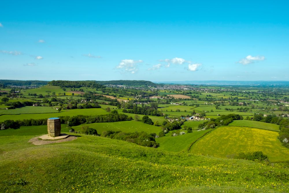
Despite its reputation as a gentle countryside walk, the Cotswold Way includes plenty of short, steep climbs and descents as it follows the edge of the escarpment. The reward is a constantly changing landscape with panoramic views across the Severn Vale towards the Malvern Hills and Wales.
For many walkers, the Cotswold Way is an ideal introduction to long distance walking. The trail is well waymarked, easy to access by public transport and packed with accommodation, cafés and villages throughout the route.
Cotswold Way Walk Map FAQs
- Why do most people walk the Cotswold Way north to south?
- Where can I find an online map of the Cotswold Way?
- Is there a single paper map for the Cotswold Way route?
- Which Ordnance Survey maps do I need for the Cotswold Way?
- Is the Cotswold Way route available on the OS Maps app?
- How long is the Cotswold Way?
- Where does the walk start and finish?
- Is the Cotswold Way difficult?
- Do I need good navigation skills?
- When is the best time to walk the Cotswold Way?
- Suggested Cotswold Way Itinerary
Why do most people walk the Cotswold Way north to south?
Most walkers start in Chipping Campden and head south towards Bath.
Walking in this direction keeps the dramatic escarpment views in front of you for much of the route and creates a memorable finish in the UNESCO World Heritage city of Bath. Many guidebooks and organised walking holidays also follow the trail from north to south, making trip planning straightforward.

Where can I find an online map of the Cotswold Way?
You can explore the entire route using the interactive map above. It shows the full National Trail from Chipping Campden to Bath, making it easy to plan daily stages, identify accommodation and explore transport connections.
Premium OS Maps users can also access detailed mapping, route planning tools and 3D Flythrough.
Is there a single paper map for the Cotswold Way route?
No. The trail passes through several OS Explorer map areas between Chipping Campden and Bath, so there is no single Explorer map covering the complete route.
Many walkers use OS Maps for route planning and navigation or carry the Explorer maps covering the sections they intend to walk.
Which Ordnance Survey Maps do I need for the Cotswold Way?
The trail crosses several Explorer map areas, including:
OS Explorer 155 Bristol and Bath
OS Explorer 167 Thornbury, Dursley and Yate
OS Explorer 168 Stroud, Tetbury and Malmesbury
OS Explorer 179 Gloucester, Cheltenham and Stroud
OS Explorer OL45 The Cotswolds
EXPLORE THE
OS Shop
We are with you every step of the way. Shop our trusted walking and hiking maps and guidebooks so you can explore the outdoors with confidence.
Go to the shopIs the Cotswold Way route available on the OS Maps app?
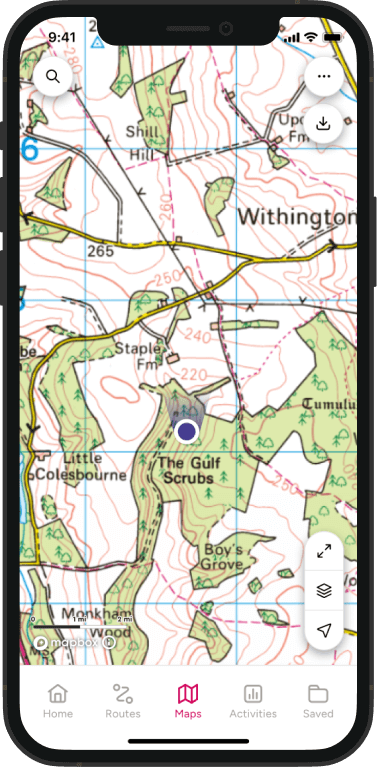
Yes. The full National Trail can be viewed in OS Maps, allowing you to plan stages, explore nearby facilities and navigate confidently during your walk.
Premium users can also download maps and routes for offline use and print maps before setting off.
How long is the Cotswold Way?
The Cotswold Way is approximately 102 miles (164 km) long.
Most walkers complete the route in seven to ten days, although many choose to tackle it over a series of weekends.
Where does the walk start and finish?
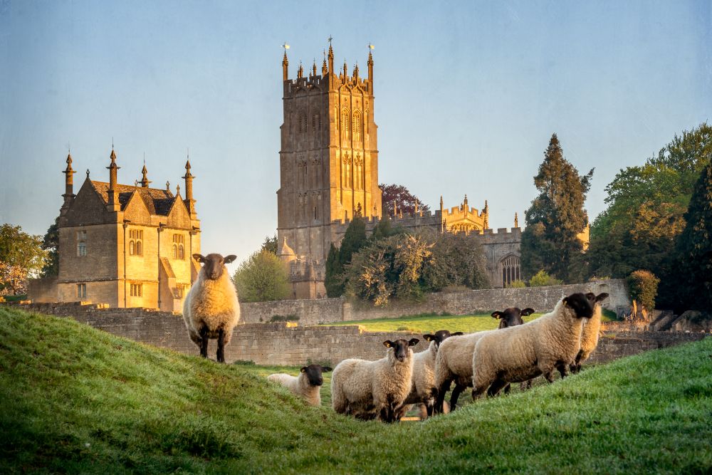
The trail officially starts in Chipping Campden in Gloucestershire and finishes in Bath, Somerset.
From the medieval streets of Chipping Campden, the route follows the Cotswold escarpment southwards before descending into Bath, one of Britain’s most celebrated historic cities.
Is the Cotswold Way difficult?
The Cotswold Way is generally considered a moderate long distance trail.
Although it does not include mountain terrain, many walkers are surprised by the number of climbs throughout the route. The trail rarely stays flat for long and includes a series of ascents and descents as it travels along the edge of the Cotswold escarpment.
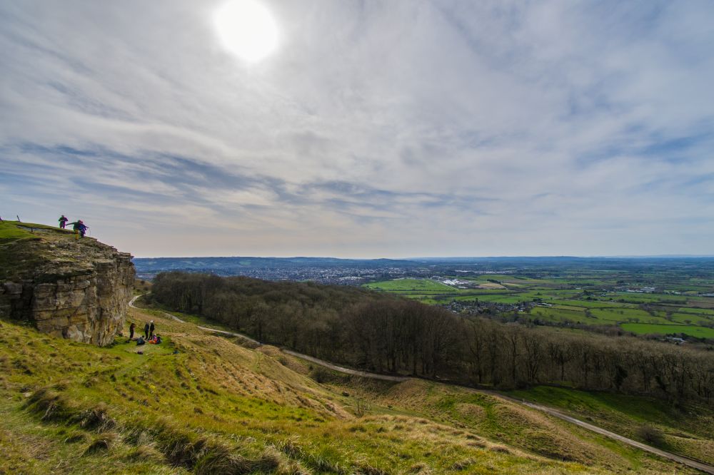
The highest point is Cleeve Hill at 330 metres, offering spectacular views across Gloucestershire and beyond.
The excellent waymarking, regular villages and plentiful accommodation make the trail an accessible choice for walkers tackling their first National Trail.
Do I need good navigation skills?
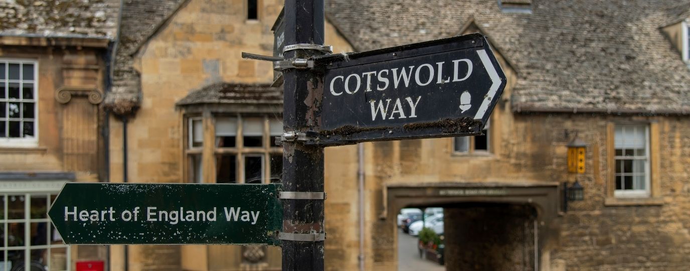
The route is well waymarked throughout using National Trail acorn symbols.
However, carrying reliable mapping is always recommended. Good navigation is particularly useful when planning accommodation, finding transport links, locating refreshment stops or exploring nearby attractions away from the main trail.
When is the best time to walk the Cotswold Way?
The Cotswold Way can be enjoyed throughout the year, but spring and autumn are often considered the best seasons for walking.
Spring brings wildflowers, fresh green countryside and quieter trails, while autumn offers colourful woodland and excellent visibility from the escarpment. Summer is popular thanks to long daylight hours, though some sections can become busy near popular villages and attractions.
Winter walks can be rewarding on clear days, but paths may be muddy following periods of wet weather.
Suggested Cotswold Way Itinerary
Here is a popular 8-day breakdown of the National Trail:
Chipping Campden to Broadway – 6 miles (10km)
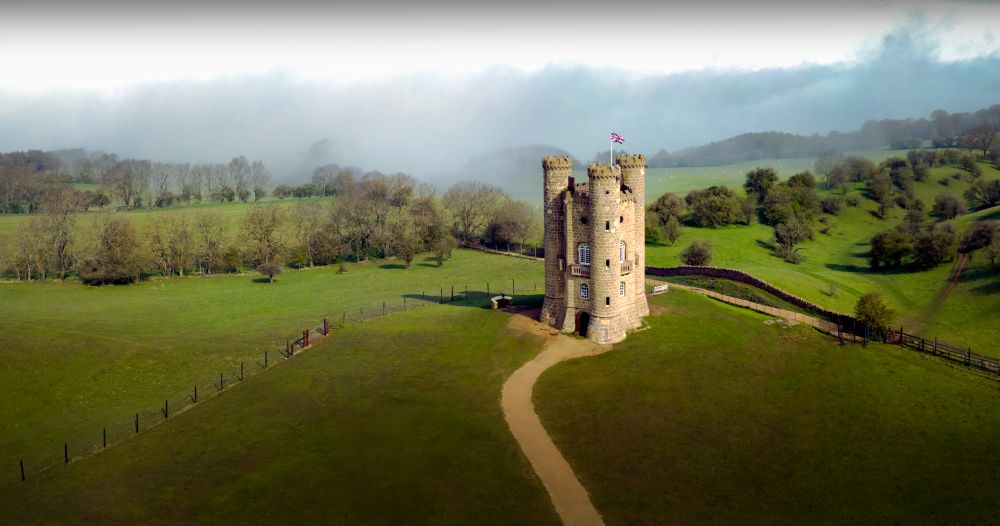
The trail begins in one of the Cotswolds’ most attractive market towns before climbing to Dover’s Hill and Broadway Tower. Expect wide ranging views across the Vale of Evesham and a memorable introduction to the trail.
Broadway to Winchcombe – 12 miles (19km)
Following the escarpment through Stanton and Stanway, this stage combines quiet countryside, historic estates and picture postcard villages before reaching Winchcombe.
Winchcombe to Cheltenham – 11 miles (18km)
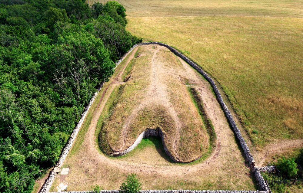
One of the highlights of the entire trail. The route passes Belas Knap Long Barrow before climbing to Cleeve Hill, the highest point on the Cotswold Way, then continues towards Cheltenham.
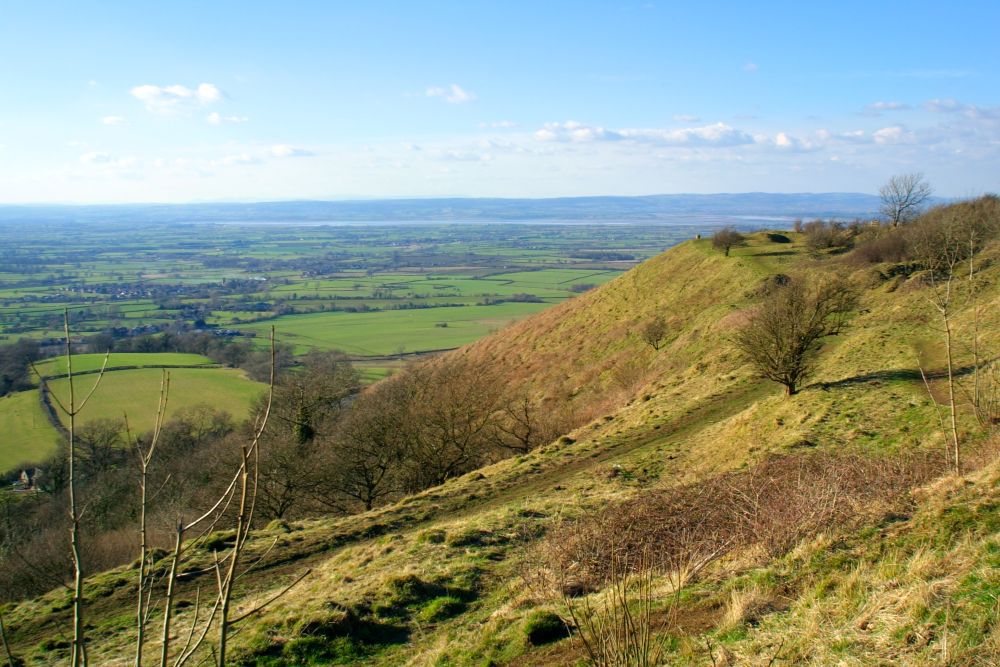
Cheltenham to Painswick – 14 miles (23km)
A varied section of woodland, commons and open countryside with spectacular escarpment views overlooking the Severn Vale.
Painswick to Dursley – 15 miles (24km)
This rewarding stage passes through ancient woodland and rolling farmland before reaching the market town of Dursley.
Dursley to Wotton under Edge – 7 miles (11km)
A shorter day featuring Stinchcombe Hill, expansive viewpoints and attractive countryside.
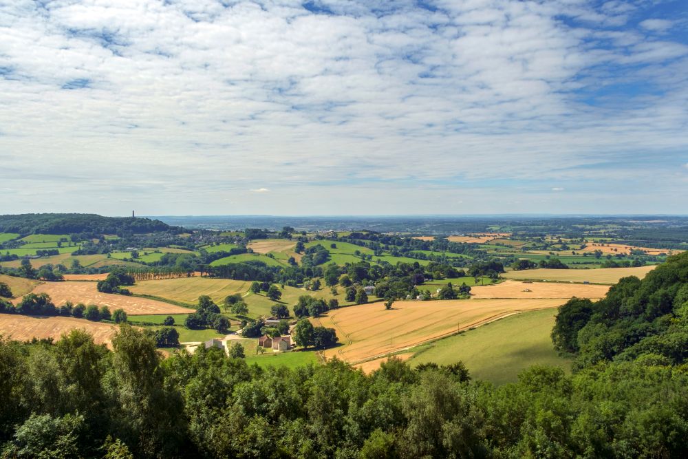
Wotton under Edge to Cold Ashton – 21 miles (34km)
A longer but rewarding stage through rural South Gloucestershire, passing ancient woodland, farmland and several historic settlements.
Cold Ashton to Bath – 16 miles (26km)
The final stage crosses beautiful countryside before descending dramatically into Bath. The Roman Baths, Georgian architecture and lively city centre provide a fitting finish to one of England’s most popular National Trails.
Use the Cotswold Way map above to start planning your route, discover key landmarks and prepare for a classic long distance walk through one of England’s most loved landscapes.
From the medieval streets of Chipping Campden to the historic city of Bath, the Cotswold Way combines beautiful scenery, rich heritage and excellent walking conditions for a rewarding National Trail experience.
If you’re interested in finding out more about the Official National Trails of the UK take a look at our guide.
Explore More of our National Parks

By Hilary Pullen
Meet Hilary, Editor of OS Maps Discover. Hilary is based in North Wales and loves hiking with her dogs in the mountains of Eryri and Bryniau Clwyd, you can find her on Instagram @nearlyuphill and read her guides to walking in North Wales.
If you would like to be a featured OS Author and write an article or route guide find out more here – how to submit an article idea