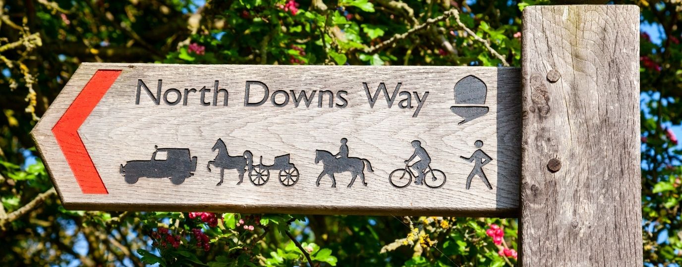
North Downs Way At A Glance
Distance: 153 miles (246 km)
Start: Farnham, Surrey
Finish: Dover, Kent (with an alternative route via Canterbury)
National Landscapes: Surrey Hills and Kent Downs
Highest Point: Botley Hill (269m)
Typical Duration: 10 to 14 days
Difficulty: Moderate
Best For: Walkers looking for a well waymarked National Trail with rich history and varied scenery
Navigation: OS Maps app and OS Explorer maps
Officially completed: 1978
North Downs Way Interactive Map
The North Downs Way is one of England’s most historic National Trails. Stretching for 153 miles from Farnham in Surrey to the White Cliffs of Dover, the route follows the spine of the North Downs through rolling countryside, ancient woodland, chalk grassland and picturesque villages.
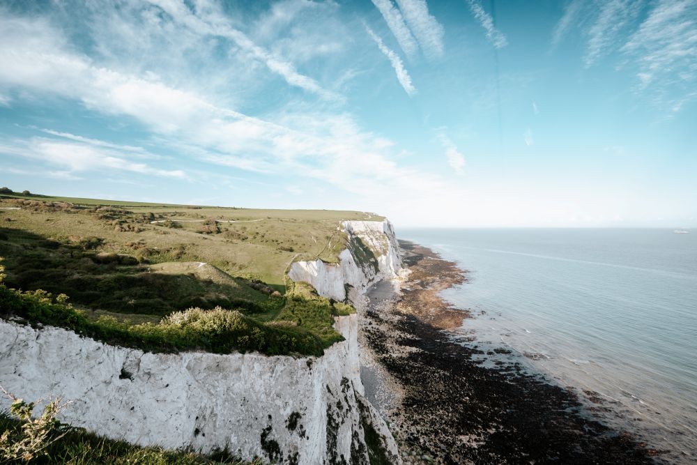
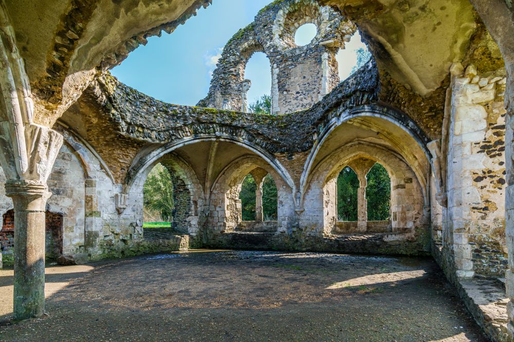
Much of the trail follows the historic Pilgrims’ Way, the route once travelled by pilgrims making their way to Canterbury Cathedral. Today, walkers can experience centuries of history while enjoying some of the finest landscapes in South East England.
The trail passes through the Surrey Hills and Kent Downs National Landscapes, offering sweeping views across the Weald, opportunities to explore market towns and villages, and a memorable finish above the English Channel at Dover.
You may be planning to complete the full National Trail or tackle a few sections at a time, the North Downs Way offers a rewarding long distance walking adventure with excellent transport links and plenty of places to stay along the way.
North Downs Way Walk Map FAQs
- Why do most people walk the North Downs Way west to east?
- Where can I find an online map of the North Downs Way?
- Is there a single paper map for the North Downs Way route?
- Which Ordnance Survey maps do I need for the North Downs Way?
- Is the North Downs Way route available on the OS Maps app?
- How long is the North Downs Way?
- Where does the walk start and finish?
- Is the North Downs Way difficult?
- Do I need good navigation skills?
- What is the Canterbury split on the North Downs Way?
Suggested North Downs Way Itinerary
Why do most people walk the North Downs Way west to east?
Most walkers start in Farnham and head east towards Dover. This direction follows the traditional route of medieval pilgrims travelling towards Canterbury and the Kent coast.
Walking west to east also provides a memorable finish at the White Cliffs of Dover, where dramatic coastal views create a fitting end to the journey.
Where can I find an online map of the North Downs Way?
You can explore the entire route on OS Maps using the interactive map above. It shows the full National Trail from Farnham to Dover, including the Canterbury alternative, helping you plan stages, accommodation and transport connections.
Premium OS Maps users can also access detailed mapping, route planning tools and 3D Flythrough.
Is there a single paper map for the North Downs Way route?
No. The route crosses several map areas through Surrey and Kent, so there is no single OS Explorer map covering the entire trail.
Many walkers use OS Maps for planning and navigation or carry the Explorer maps relevant to the sections they are walking.
Which Ordnance Survey Maps do I need for The North Downs Way?
The trail crosses multiple Explorer map areas, including:
OS Explorer 137 Ashford
OS Explorer 138 Dover, Folkestone and Hythe
OS Explorer 145 Guildford and Farnham
OS Explorer 146 Dorking, Box Hill and Reigate
OS Explorer 147 Sevenoaks and Tonbridge
OS Explorer 148 Maidstone and the Medway Towns
OS Explorer 149 Sittingbourne and Faversham
OS Explorer 150 Canterbury and the Isle of Thanet
EXPLORE THE
OS Shop
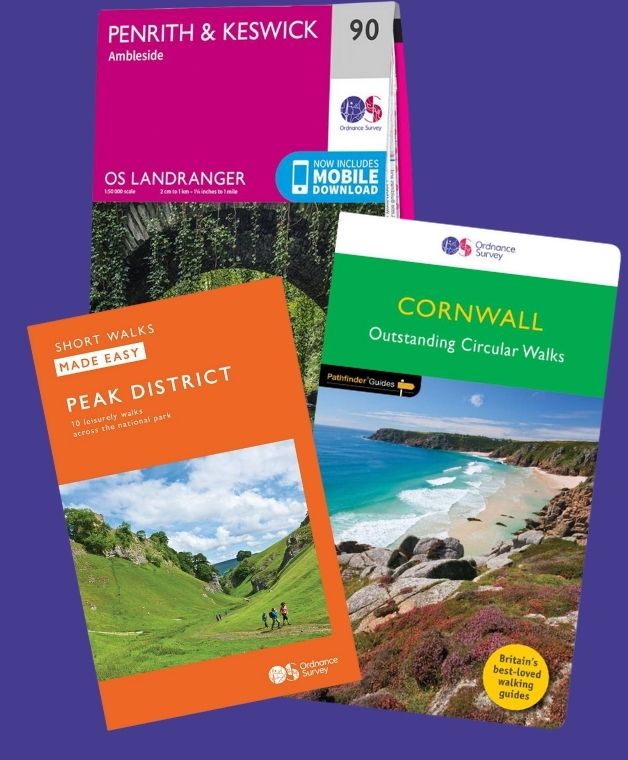
We are with you every step of the way. Shop our trusted walking and hiking maps and guidebooks so you can explore the outdoors with confidence.
Go to the shopNorth Downs Way Set
Is the North Downs Way route available on the OS Maps app?
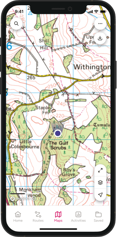
Yes. The full National Trail can be viewed in OS Maps, making it easy to plan daily stages, discover nearby facilities and navigate during your walk.
Premium users can also print maps and download routes for offline use.
How long is the North Downs Way?
The North Downs Way is approximately 153 miles (246 km) long.
Most walkers complete the route in around 10 to 14 days depending on pace, accommodation locations and whether they choose the Canterbury route option.
Where does the walk start and finish?
The trail officially starts in Farnham, Surrey. From Wye in Kent, the route splits into two alternatives before re-joining near the end of the trail in Dover. Walkers can choose a route via Canterbury or a more direct southern option towards Folkestone and Dover.
Is the North Downs Way difficult?
The North Downs Way is generally considered a moderate long distance trail.
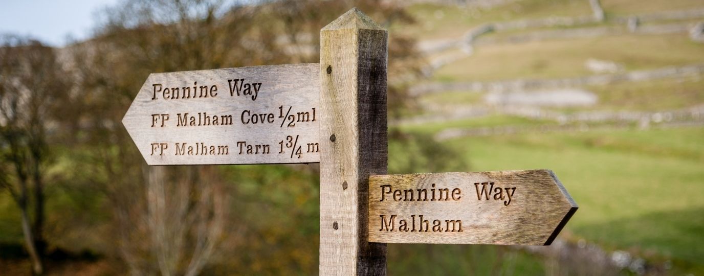
Although it lacks the high mountains found on routes such as the Pennine Way, walkers should expect repeated climbs and descents, particularly around Box Hill, the Surrey Hills and the valleys cutting through the North Downs.
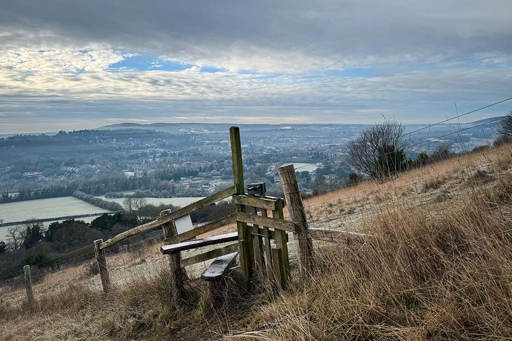
The trail is well maintained and accessible, making it a popular choice for people attempting their first National Trail.
Do I need good navigation skills?
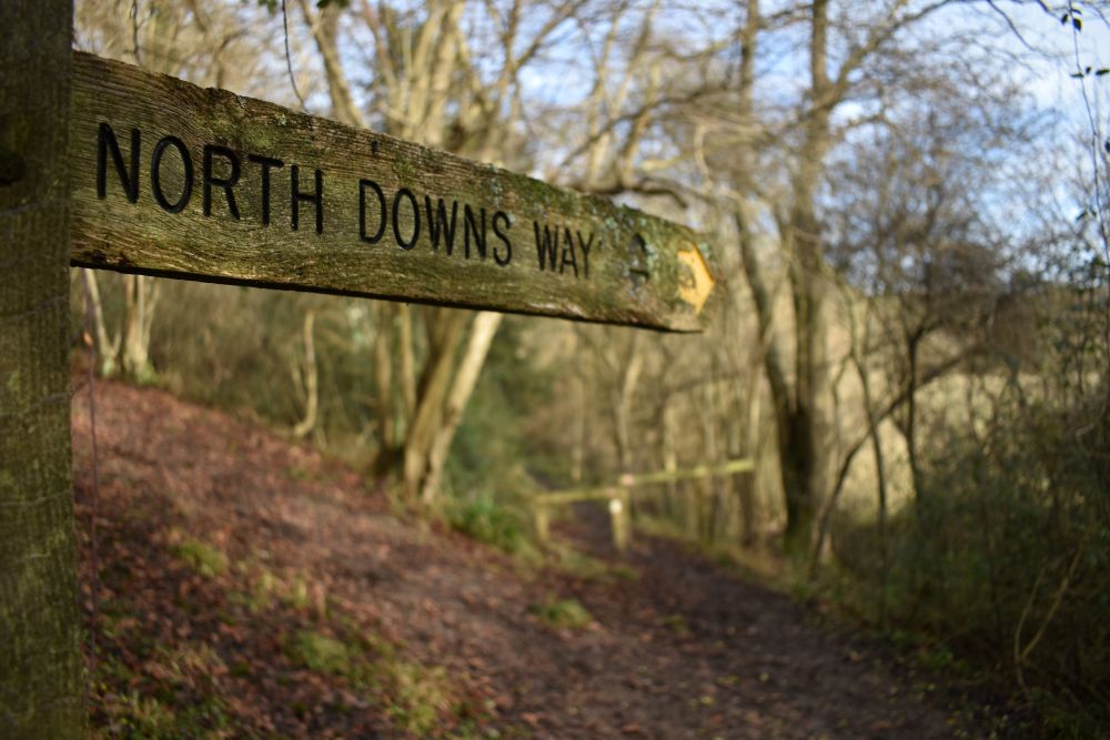
The route is well waymarked with National Trail acorn symbols throughout.
However, carrying reliable mapping is always recommended. Good navigation becomes particularly important when planning accommodation, finding transport links, exploring nearby attractions or walking in poor visibility.
What is the Canterbury split on the North Downs Way?
Near Wye, walkers can choose between two routes to Dover. The northern option passes through Canterbury, allowing walkers to visit the famous cathedral and follow the historic pilgrimage tradition.
The southern route heads towards Folkestone before joining the coastal path towards Dover. Both options provide excellent scenery and eventually reach the White Cliffs of Dover.
Suggested North Downs Way Itinerary
Here is a popular 12-day breakdown of the National Trail:
Farnham to Guildford – 12 miles (19km)
The trail begins in Farnham before crossing quiet countryside towards the Surrey Hills. Woodland paths and open views gradually introduce walkers to the landscapes that define much of the route.
Guildford to Dorking – 13 miles (21km)
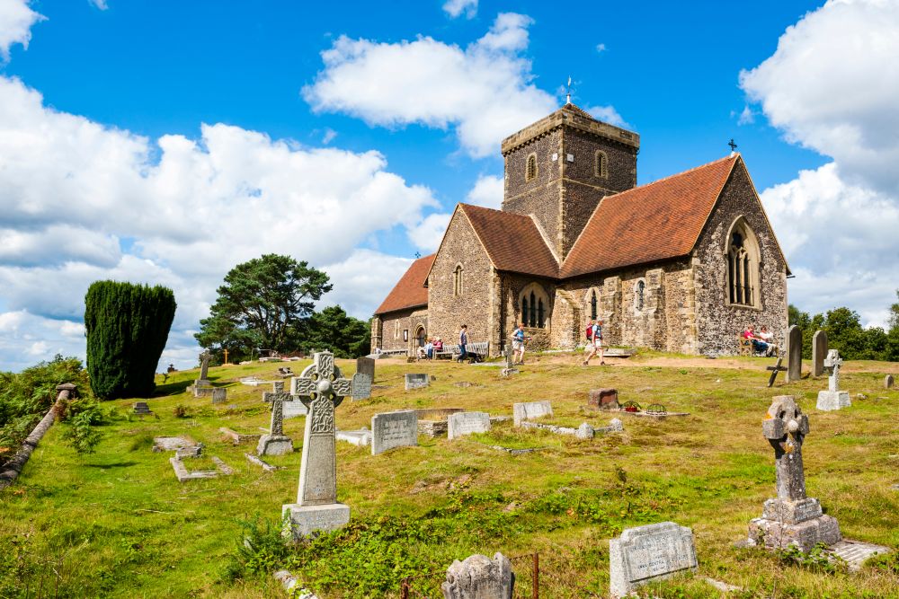
This stage includes Newlands Corner and St Martha’s Hill before reaching the dramatic scenery around Box Hill, one of the most famous viewpoints on the entire trail.
Dorking to Reigate – 11 miles (18km)
A shorter but undulating stage through classic North Downs countryside, with chalk escarpments, woodland and sweeping views across the Weald.
Reigate to Oxted – 14 miles (23km)
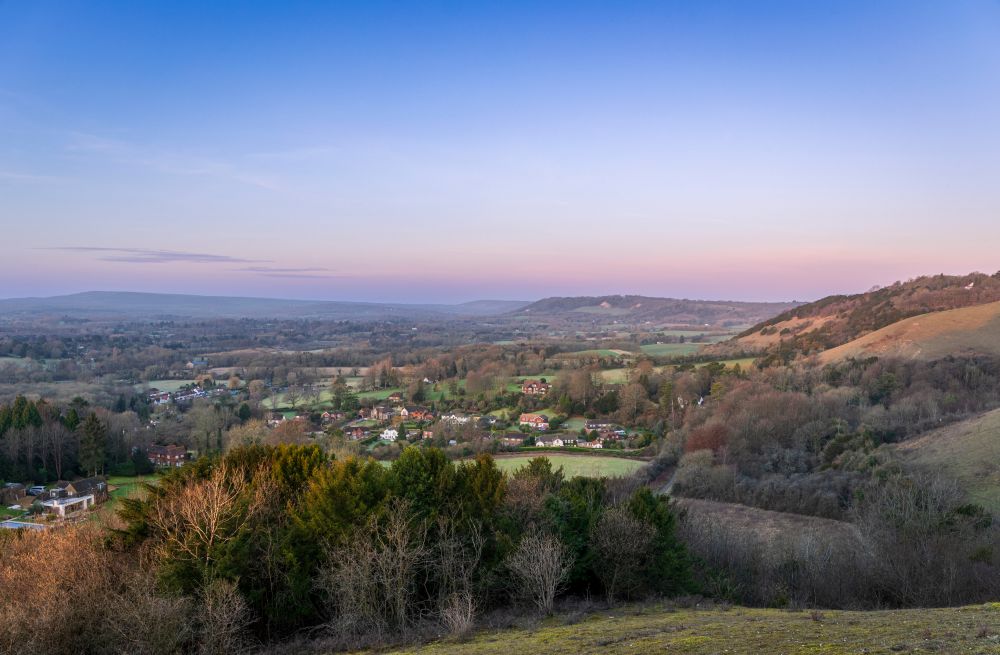
Passing over Colley Hill and towards Botley Hill, the highest point on the trail, this section offers some of the finest panoramic views in Surrey.
Oxted to Otford – 13 miles (21km)
The route continues through woodland and open downland before reaching the attractive Kent village of Otford.
Otford to Rochester – 15 miles (24km)
One of the historic highlights of the trail, this stage crosses the Medway Valley and passes landmarks associated with both the Pilgrims’ Way and the North Downs.
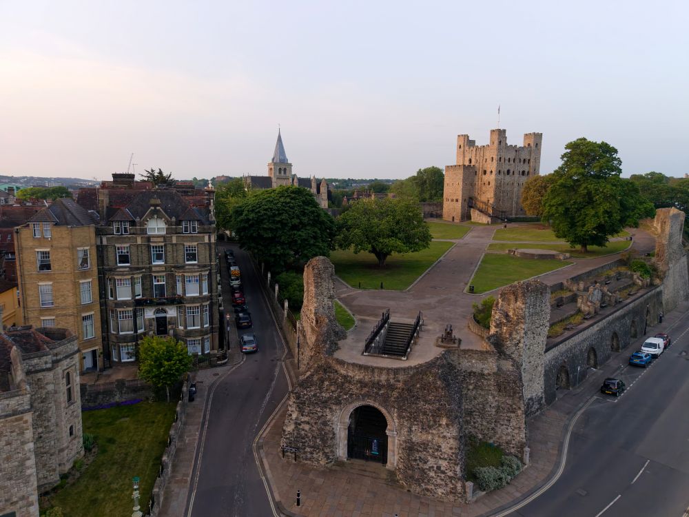
Rochester to Detling – 14 miles (22km)
The trail traverses the heart of the Kent Downs with expansive views, woodland sections and attractive rural landscapes.
Detling to Charing – 13 miles (21km)
A quieter stage featuring orchards, farmland and classic Kent countryside.
Charing to Wye – 11 miles (18km)
A rewarding section with excellent downland scenery before reaching Wye, where walkers must decide between the Canterbury and southern Dover routes.
Wye to Canterbury – 10 miles (16km)
The northern route heads towards one of England’s most important historic cities, finishing at Canterbury Cathedral.
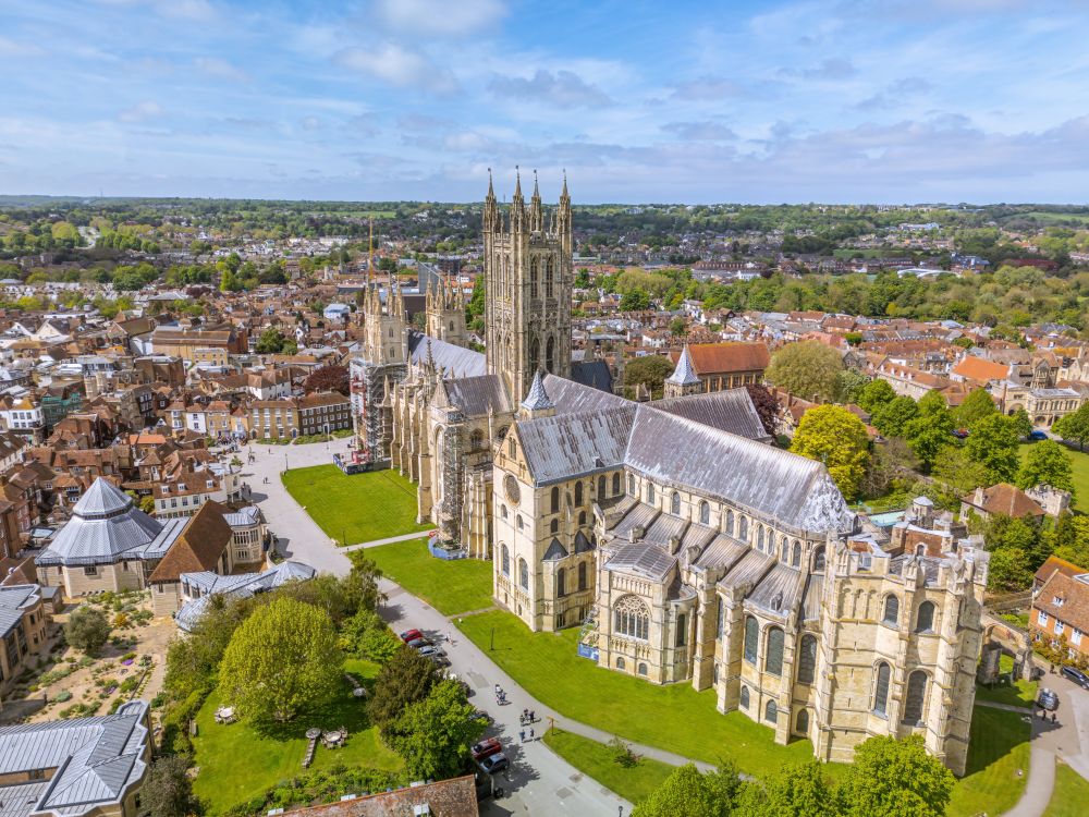
Canterbury to Dover – 19 miles (31km)
From Canterbury, the trail follows rolling Kent Downs scenery before reaching the famous White Cliffs and the finish at Dover.
Alternative: Wye to Folkestone to Dover – 22 miles (35km)
The southern option offers superb coastal scenery and a spectacular approach to Dover along the cliffs above the English Channel.
Use the North Downs Way map above to start planning your route, discover key landmarks and prepare for one of England’s most accessible long distance National Trails.
From the Surrey Hills to the White Cliffs of Dover, the North Downs Way combines history, landscapes and well established walking routes to create a memorable journey across South East England.
If you’re interested in finding out more about the Official National Trails of the UK take a look at our guide.
Explore More of our National Parks

By Hilary Pullen
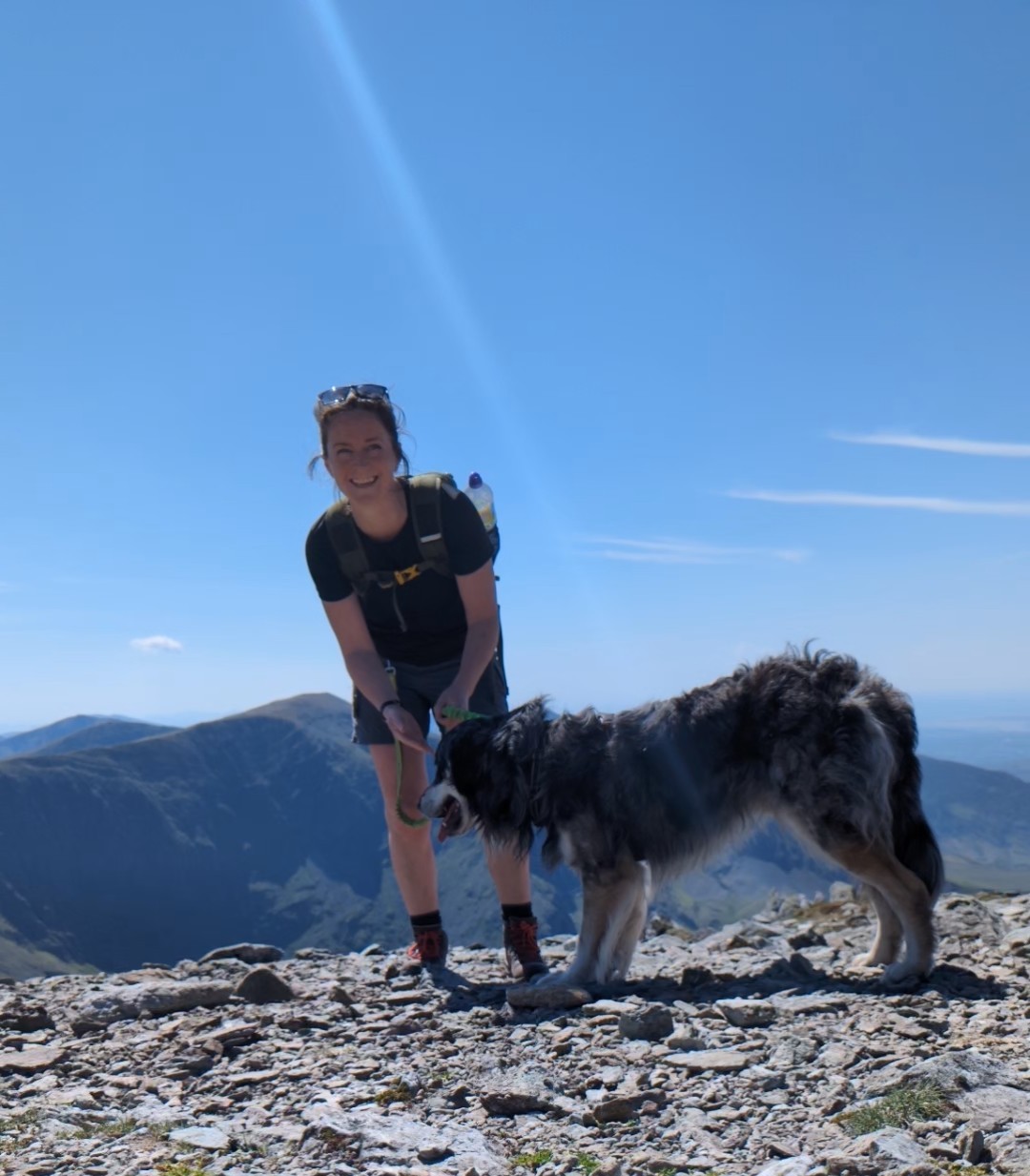
Meet Hilary, Editor of OS Maps Discover. Hilary is based in North Wales and loves hiking with her dogs in the mountains of Eryri and Bryniau Clwyd, you can find her on Instagram @nearlyuphill and read her guides to walking in North Wales.
If you would like to be a featured OS Author and write an article or route guide find out more here – how to submit an article idea