Pennine Way Walk Interactive Map
Looking for a Pennine Way map? Explore the full route on the interactive OS Maps map below and find a full list of the Ordnance Survey Paper Maps needed for this trail. This detailed Pennine Way map follows Britain’s oldest National Trail from Edale in the Peak District to Kirk Yetholm in the Scottish Borders.
Use the map to explore key sections, understand the terrain, measure distances and start planning your own long-distance walking adventure.
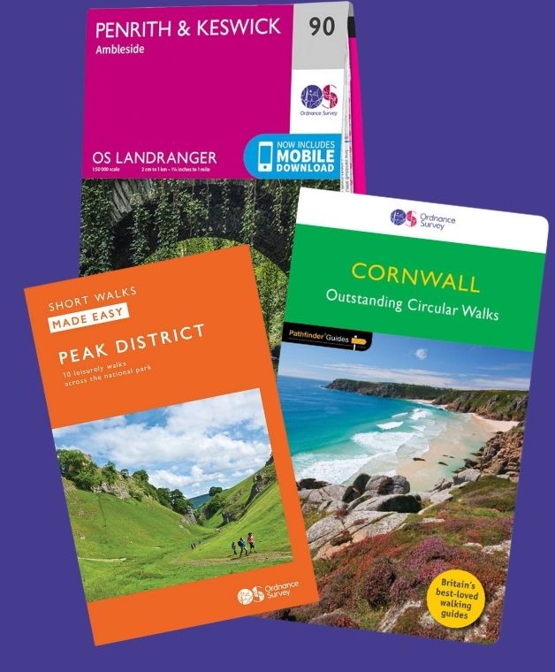
For walkers who prefer paper navigation, OS Explorer maps provide detailed coverage of the entire trail.
Pennine Way At A Glance
The Pennine Way is Britain’s oldest National Trail, stretching 268 miles (431 km) from Edale in Derbyshire to Kirk Yetholm in the Scottish Borders.
- Distance: 268 miles (431 km)
- Start: Edale, Derbyshire
- Finish: Kirk Yetholm, Scottish Borders
- National Parks: Peak District, Yorkshire Dales and Northumberland National Park
- National Landscape: North Pennines National Landscape
- Highest Point: Cross Fell (893m)
- Typical Duration: 14 to 21 days
- Difficulty: Challenging
- Best For: Experienced walkers and long-distance hiking enthusiasts
- Navigation: OS Maps app and OS Explorer maps
A Proper Celebration of Britain’s Wild Uplands
The magic of the Pennine Way lies in its scale and sense of wilderness. From the first climb onto Kinder Scout to the final miles into Kirk Yetholm, the route takes walkers through some of the most rugged and rewarding landscapes in Britain.
The Pennine Way showcases the very best of northern England. You’ll experience gritstone edges in the Peak District, limestone scenery in the Yorkshire Dales, vast peat moorlands in the North Pennines, and the rolling hills of the Scottish Borders. Along the way you’ll encounter famous landmarks including Malham Cove, High Force Waterfall, Cross Fell and Hadrian’s Wall.
This is a route that rewards perseverance. It can be tough, wet and demanding, but it also offers an unforgettable journey through landscapes that feel wild, timeless and wonderfully remote.
Whether you’re aiming to complete the entire trail or tackle it in sections, the Pennine Way remains one of Britain’s greatest long-distance walking adventures.
Pennine Way Walk Map FAQs
Why do most people walk The Pennine Way South to North?
Where can I find an online map of the Pennine Way?
Is there a single paper map for the Pennine Way route?
Which Ordnance Survey Maps do I need for the Pennine Way?
Is the Pennine Way route available on the OS Maps app?
How long is the Pennine Way?
Where does the walk start and finish?
Is the Pennine Way difficult?
Do I need good navigation skills?
Why do most people walk The Pennine Way South to North?
Most people walk the Pennine Way from south to north, starting in Edale and finishing at Kirk Yetholm, because the route gradually builds in difficulty, allowing walkers to develop their trail fitness before reaching the more remote and demanding sections in the North Pennines and Cheviots. The traditional guidebooks and official trail descriptions also follow this direction, making planning and navigation more straightforward, while the UK’s prevailing south westerly winds can often provide a helpful push on exposed moorland sections.
Where can I find an online map of the Pennine Way?
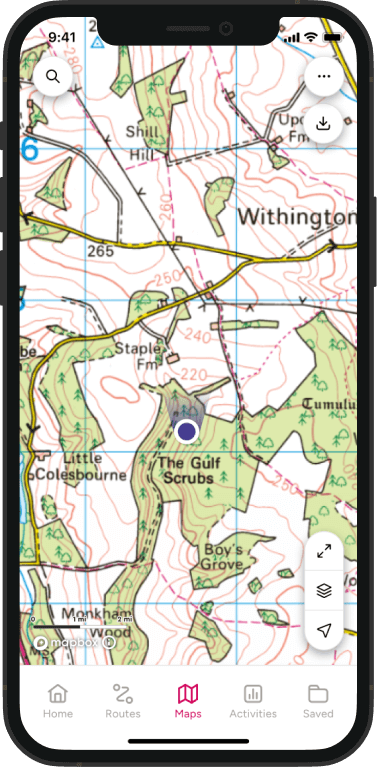
You can explore the entire route on OS Maps using the interactive map above. It shows the full journey from Edale to Kirk Yetholm, making it easy to view stages, distances, terrain and nearby facilities while planning your walk. If you are a premium OS Maps app user you can also use our topographic mapping layer which add more detail along with the 3D Flythrough feature which really helps with understanding the ascents.
Is there a single paper map for the Pennine Way route?
No. The Pennine Way covers 268 miles across northern England and southern Scotland, so it cannot be covered by a single OS Explorer map. Most walkers use either digital mapping through OS Maps or a collection of Explorer maps covering different sections of the trail.
Which Ordnance Survey Maps do I need for the Pennine Way?
The Pennine Way passes through multiple OS Explorer map areas across the Peak District, Yorkshire Dales, North Pennines and Northumberland. Many walkers use a combination of Explorer maps or digital mapping through OS Maps to navigate the entire route. Here is a list of Ordnance Survey Explorer Maps which feature the Pennine Way.
OS Explorer OL1 The Peak District – Dark Peak Area
OS Explorer OL16 The Cheviot Hills
OS Explorer OL19 Howgill Fells and Upper Eden Valley
OS Explorer OL2 Yorkshire Dales – Southern and Western Area
OS Explorer OL21 South Pennines
OS Explorer OL30 Yorkshire Dales – Northern and Central Area
OS Explorer OL31 North Pennines
OS Explorer OL42 Kielder Water and Forest
OS Explorer OL43 Hadrian’s Wall
Is the Pennine Way route available on the OS Maps app?
Yes. The full National Trail route can be viewed on OS Maps, allowing you to explore the trail online, plan daily stages and navigate using your phone while walking. Premium members can also print off stages of the route.
How long is the Pennine Way?
The Pennine Way is approximately 268 miles (431 km) long and passes through some of Britain’s most iconic upland landscapes:
- Peak District National Park
- Yorkshire Dales National Park
- North Pennines National Landscape
- Northumberland National Park
- The Scottish Borders
Most walkers complete the trail in around 14 to 21 days.
Where does the walk start and finish?
The Pennine Way traditionally begins in Edale, Derbyshire and finishes in Kirk Yetholm in the Scottish Borders.
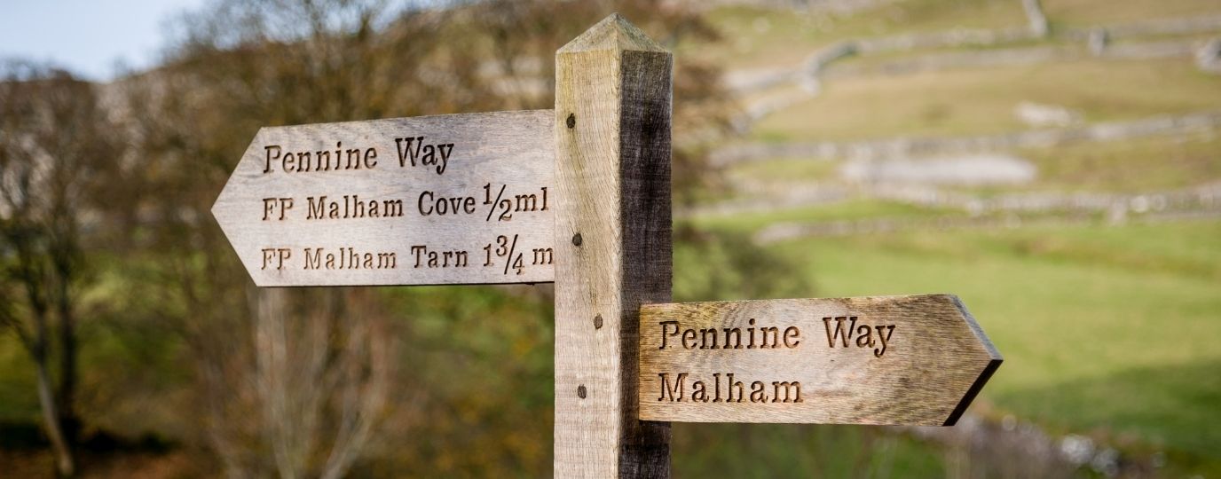
Many walkers celebrate their achievement at the famous Pennine Way sign outside the Border Hotel after completing one of Britain’s greatest long-distance walking challenges.
Is the Pennine Way difficult?
Yes. The Pennine Way is widely regarded as one of Britain’s most challenging National Trails.
Walkers should be prepared for long days on the trail, remote moorland crossings, steep ascents and descents, and rapidly changing weather conditions. Good fitness, preparation and appropriate equipment are essential.
Do I need good navigation skills?
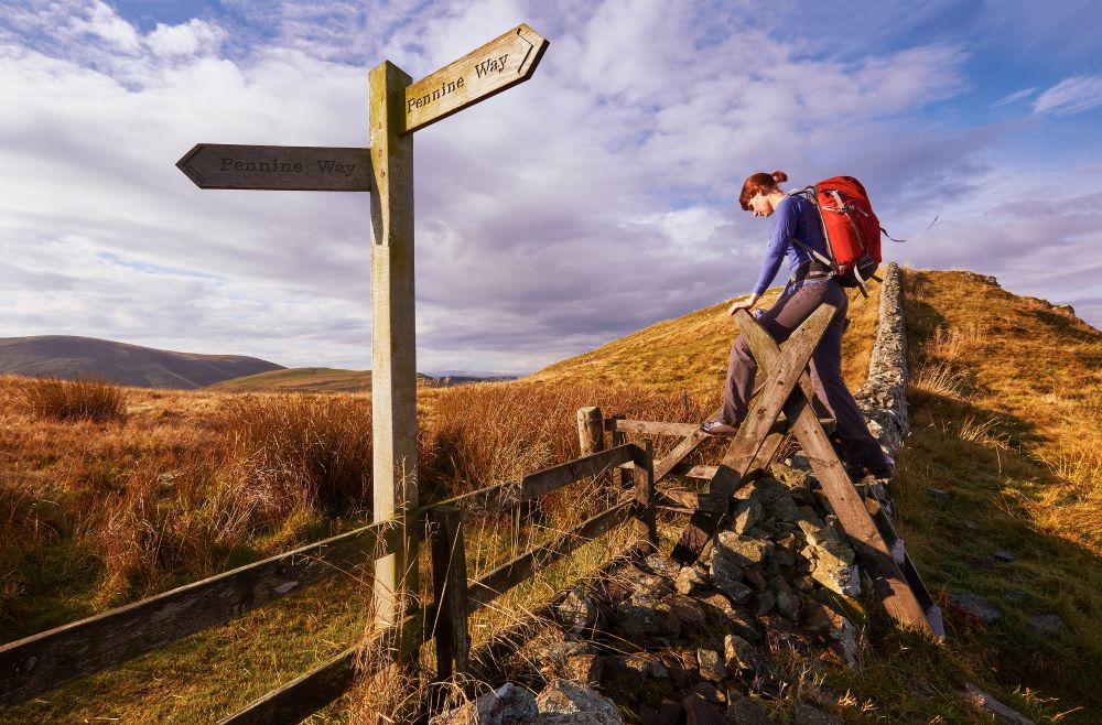
Good navigation skills are recommended for the Pennine Way. While much of the trail is waymarked, poor visibility, difficult weather conditions and remote terrain can make navigation more challenging.
Carrying reliable mapping and understanding how to use it will help you walk safely and confidently throughout the route.
Pennine Way Highlights
Kinder Scout, Peak District
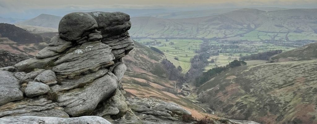
The rugged plateau of Kinder Scout marks one of the most memorable sections of the trail and offers spectacular views across the Peak District.
Malham Cove, Yorkshire Dales
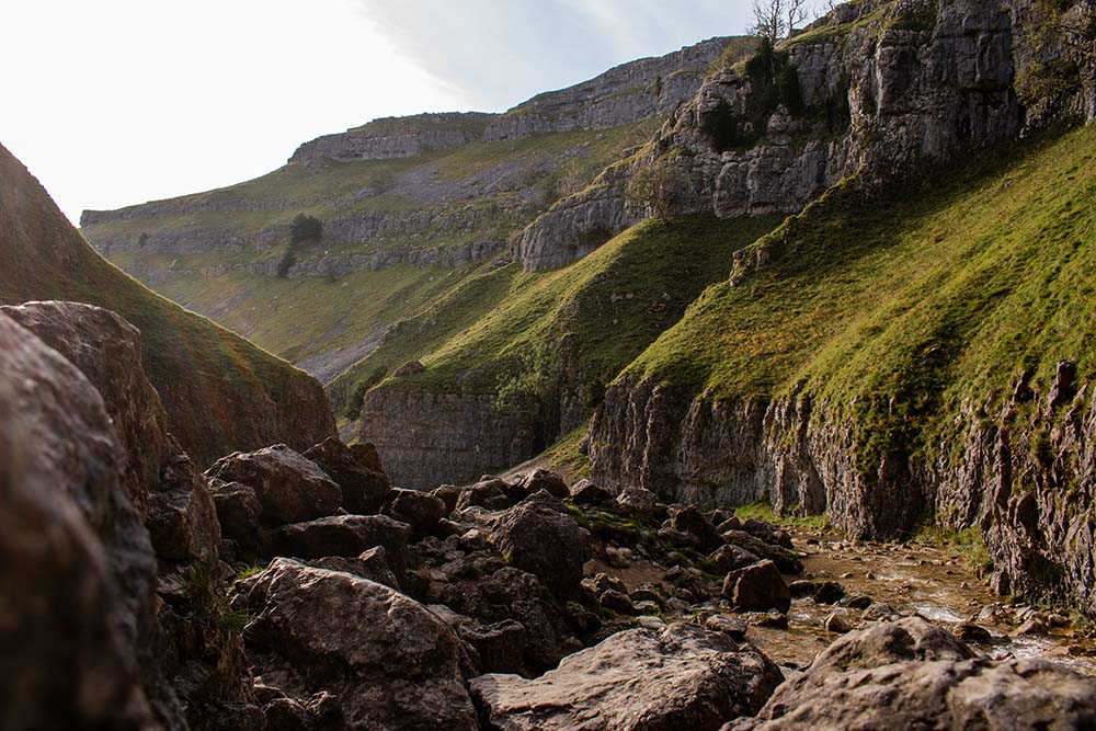
One of the most photographed natural landmarks on the route, this impressive limestone amphitheatre is a highlight for many walkers.
High Force, North Pennines
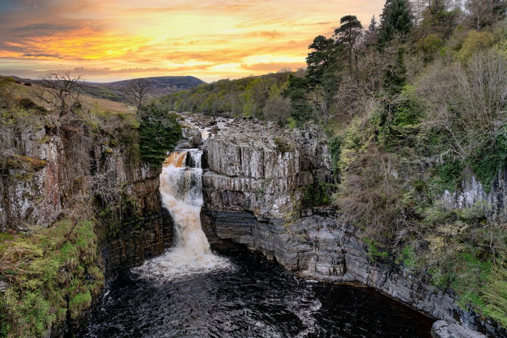
England’s most dramatic waterfall provides a welcome break from the moorland crossings and is one of the trail’s most iconic sights.
Hadrian’s Wall, Northumberland
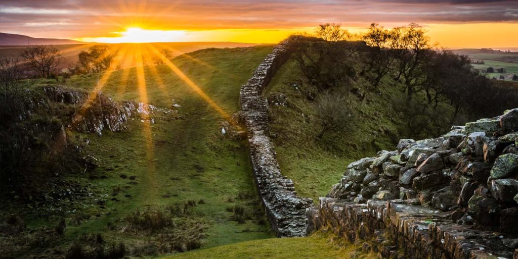
For a short distance, the Pennine Way shares the landscape with one of Britain’s most famous historic monuments.
Cheviot Hills and Kirk Yetholm
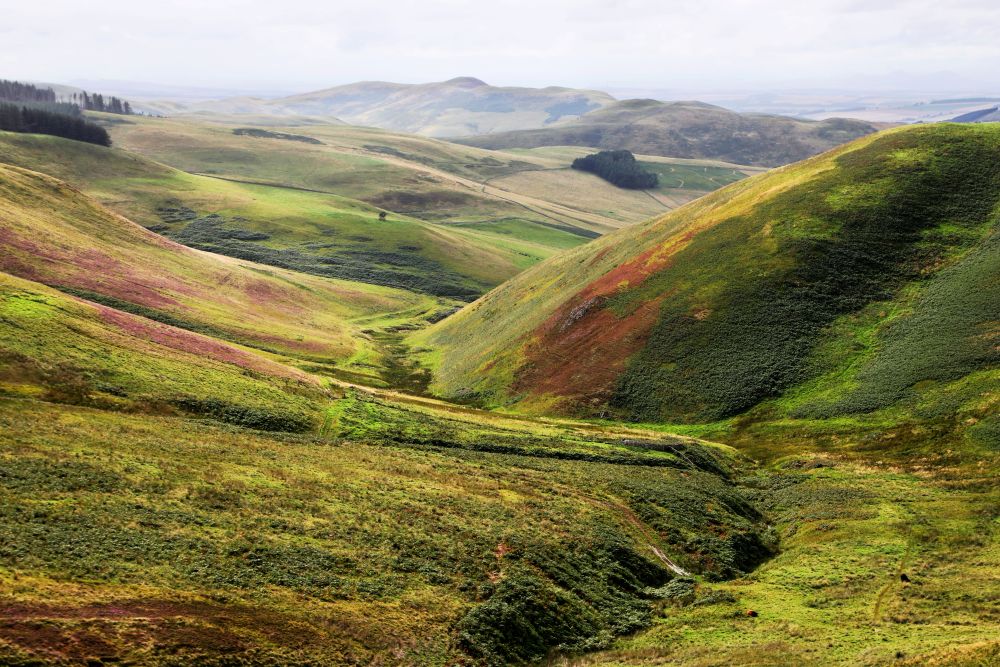
The final stages deliver expansive views, quieter trails and the satisfaction of reaching the Scottish Borders.
Planning Your Pennine Way Walk
The free online Pennine Way map above is a great starting point for planning your adventure. However, with premium OS Maps membership you’ll also get detailed topographic mapping, access to 3D Flythroughs and the ability to print out stages of the route.
Suggested Pennine Way Itinerary
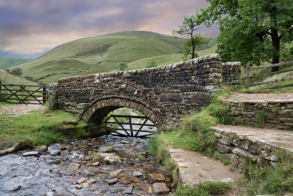
Edale to Crowden – 16 miles (26km)
The Pennine Way begins with a big day in the Peak District. From Edale, the trail climbs onto Kinder Scout before continuing across the vast moorland plateau of Bleaklow, making this one of the longest and most demanding ascents on the entire route. Expect classic gritstone landscapes, exposed terrain and navigation that can become challenging in poor visibility. After crossing the high moors, the path descends steeply to Crowden.
Crowden to Standedge – 11 miles (18km)
A shorter day on paper, but one that still packs in plenty of upland walking. The route climbs Black Hill before crossing the open moorland of Wessenden Moor, where long stretches of stone flagstone help protect the fragile peat landscape. Facilities are limited at Standedge itself, but nearby Marsden and Diggle offer accommodation, pubs and shops.
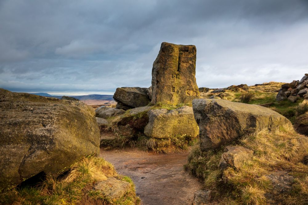
Standedge to Calder Valley – 11 miles (18km)
This stage offers some of the gentlest walking on the Pennine Way, traversing high moors and dramatic gritstone edges. Despite the relatively level terrain, navigation around Blackstone Edge can become tricky in mist or bad weather. Hebden Bridge, around a mile off the route, is a popular stop with a wide choice of accommodation, cafés and pubs.
Calder Valley to Ickornshaw – 16 miles (26km)
Leaving the Calder Valley behind, the Pennine Way soon climbs onto the open moors of Heptonstall and Ickornshaw. This is a classic South Pennines stage, with sweeping views and long stretches of exposed upland terrain. In poor weather, careful navigation is essential. Haworth, home of the Brontë sisters, makes a worthwhile detour for food, accommodation and supplies.
Ickornshaw to Malham – 17 miles (27km)
A contrasting stage that links the South Pennines with the Yorkshire Dales through the broad corridor of the Aire Gap. The route follows riversides, fields and sections of the Leeds and Liverpool Canal, offering easier walking than many Pennine Way stages. Several villages sit close to the route, making this one of the most accessible sections for refreshments and overnight stops.
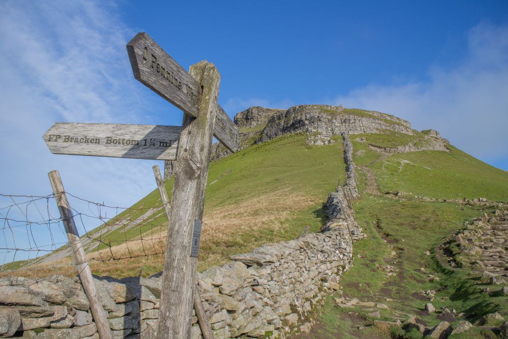
Malham to Horton in Ribblesdale – 14.5 miles (23km)
For many walkers, this is one of the highlights of the Pennine Way. The route passes the iconic limestone scenery of Malham Cove and Malham Tarn before tackling the sustained climbs of Fountains Fell and Pen-y-ghent. The reward is a spectacular journey through the Yorkshire Dales National Park before descending to Horton in Ribblesdale.
Horton in Ribblesdale to Hawes – 14 miles (23km)
Following a network of historic packhorse routes and old Roman roads, this stage crosses the remote uplands of Cam Fell and Dodd Fell. The terrain is wild and often quiet, with few facilities until the market town of Hawes comes into view. It’s a rewarding day that showcases the expansive landscapes of the Yorkshire Dales.
Hawes to Tan Hill – 16.5 miles (27km)
The route gradually climbs out of Wensleydale towards Great Shunner Fell, one of the highest points on the Pennine Way. This is a remote and exposed stage where weather conditions can quickly change. After descending to Thwaite and Keld, where the Pennine Way meets the Coast to Coast Path, there’s a final climb onto the moors before reaching Tan Hill. Walkers looking for a shorter day can find facilities in both Thwaite and Keld.
Tan Hill to Middleton-in-Teesdale – 17 miles (27km)
Crossing the halfway point of the Pennine Way, this stage delivers huge skies, vast moorlands and a real sense of isolation. The route passes through the historic Stainmore Gap before skirting Harter Fell and descending towards Middleton-in-Teesdale. With no services along the way, careful planning is essential. Some walkers choose the alternative Bowes Loop to break the stage into two shorter days.
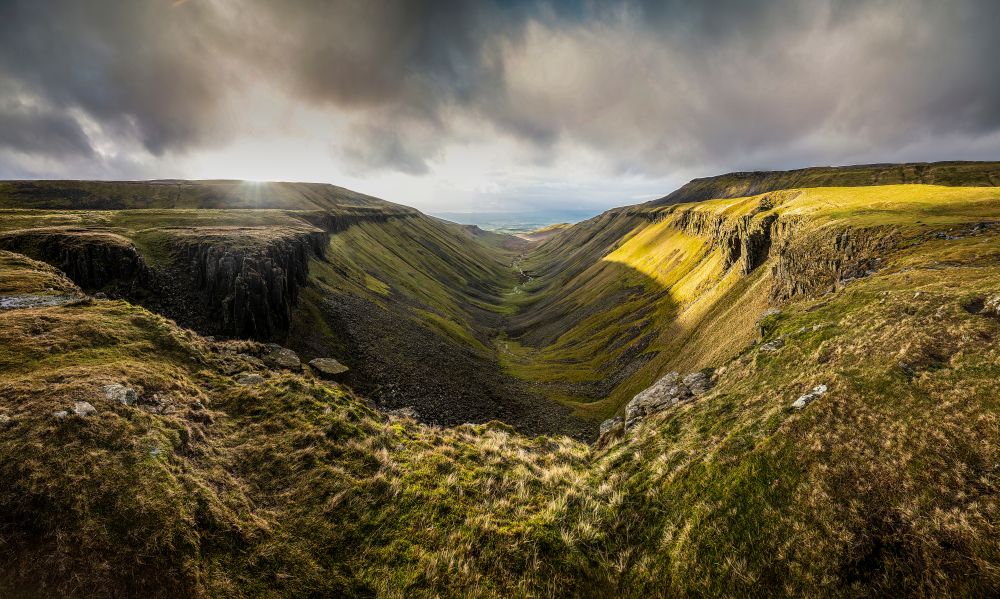
Middleton-in-Teesdale to Dufton – 21 miles (34km)
One of the Pennine Way’s most spectacular sections, this stage features two standout natural landmarks: High Force waterfall and the dramatic U-shaped valley of High Cup Nick. The walk follows the River Tees before tackling the rocky scramble beside Cauldron Snout. Underfoot conditions can be rough and slippery, but the scenery more than compensates for the effort.
Dufton to Alston – 20 miles (32km)
Often described as the toughest stage on the Pennine Way, this demanding day crosses the highest ground of the entire trail. The route climbs over Great Dun Fell and Cross Fell, reaching elevations of over 1,000m before descending via the historic Corpse Road to Garrigill. The terrain is exposed and facilities are scarce, with Greg’s Hut bothy providing the only shelter between Dufton and Garrigill.
Alston to Greenhead – 16.5 miles (26km)
Leaving the high Pennines behind, the trail follows the South Tyne Trail along a former railway line before joining the ancient Maiden Way. The route crosses Hartley Burn Floodplain and Blenkinsopp Common before reaching one of Britain’s most famous historic landmarks, Hadrian’s Wall, at Greenhead.
Greenhead to Bellingham – 22 miles (35km)
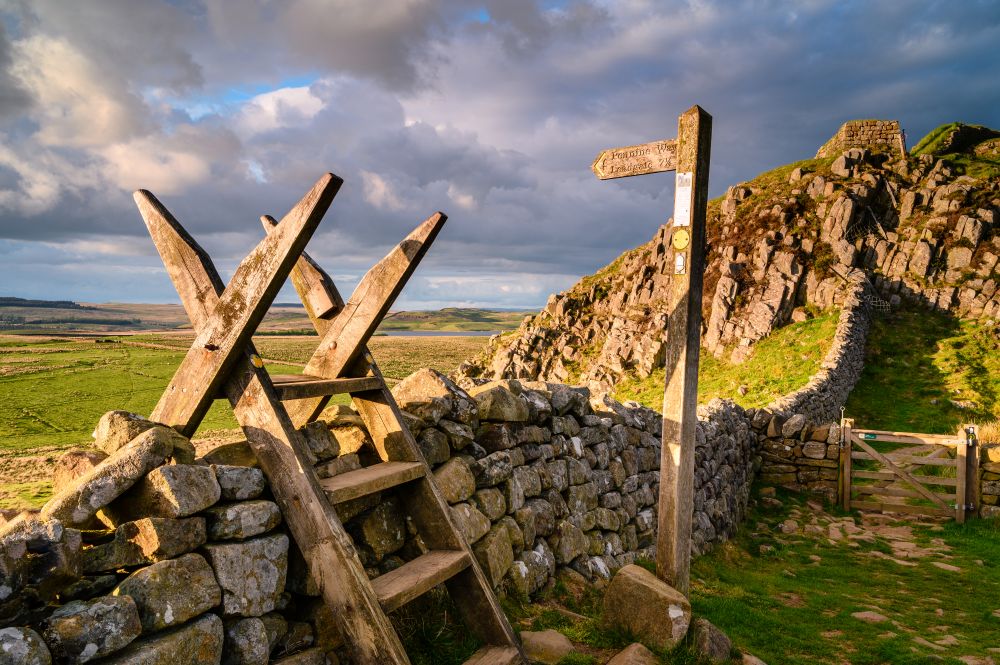
A long and undulating stage that combines history with remote countryside. For around 8 miles, the Pennine Way shares ground with Hadrian’s Wall Path before heading north through Rapishaw Gap towards Wark Forest. Farmland, forest tracks and open moorland follow, with no facilities until the welcoming market town of Bellingham.
Bellingham to Byrness – 15 miles (24km)
This relatively short stage eases walkers into the final, more remote section of the Pennine Way. The route crosses open moorland before entering the forests around Byrness, passing Whitley Pike and Brownrigg Head along the way. Some sections can be boggy after wet weather, and there are no services between the start and finish.
Byrness to Windy Gyle – 14 miles (22km)
The Pennine Way enters some of its most remote terrain on this stage. Following the England-Scotland border for much of the day, the route crosses open moorland and follows boundary fences through quiet, wild country. Sections can be boggy and walkers should be aware that parts of the area are used for military training.
Windy Gyle to Kirk Yetholm – 13 miles (21km)
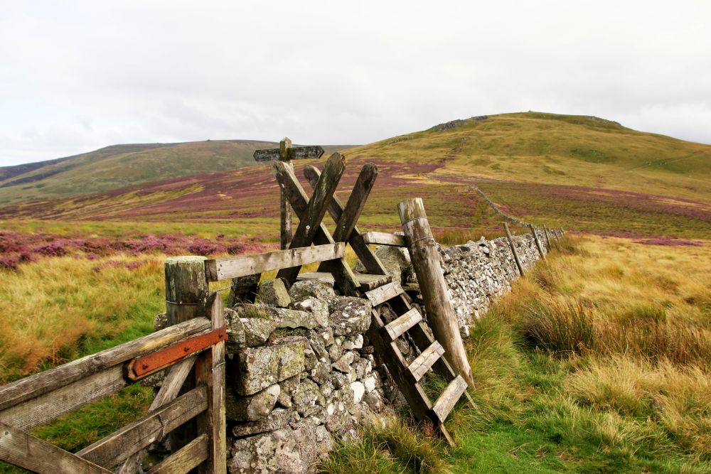
The final stage of the Pennine Way is a fitting finale. Crossing the Cheviot Hills, the route passes beneath The Cheviot itself before climbing The Schil and following the border ridge towards Scotland. Strong winds and boggy ground are common, but the sense of achievement grows with every mile. A choice of high or low-level routes leads to the finish in Kirk Yetholm, where Britain’s most famous National Trail comes to an end.
Ready to Explore the Pennine Way?
Use the Pennine Way map above to start planning your route, discover key landmarks and prepare for one of Britain’s most iconic long-distance walks.
From the gritstone edges of the Peak District to the rolling hills of the Scottish Borders, the Pennine Way offers a true journey through the backbone of Britain. With trusted Ordnance Survey mapping, you’ll have everything you need to explore with confidence.