Hadrian’s Wall Path At A Glance
Distance: 84 miles (135 km)
Start: Wallsend, Tyne and Wear
Finish: Bowness-on-Solway, Cumbria
National Park: Northumberland National Park (central section)
Highest Point: Winshields Crags (345m)
Typical Duration: 6 to 10 days
Difficulty: Moderate
Best For: Walkers who enjoy history, archaeology and manageable long distance hiking
Navigation: OS Maps app and OS Explorer maps
Officially opened as a National Trail: 2003
Hadrian’s Wall Path Interactive Map
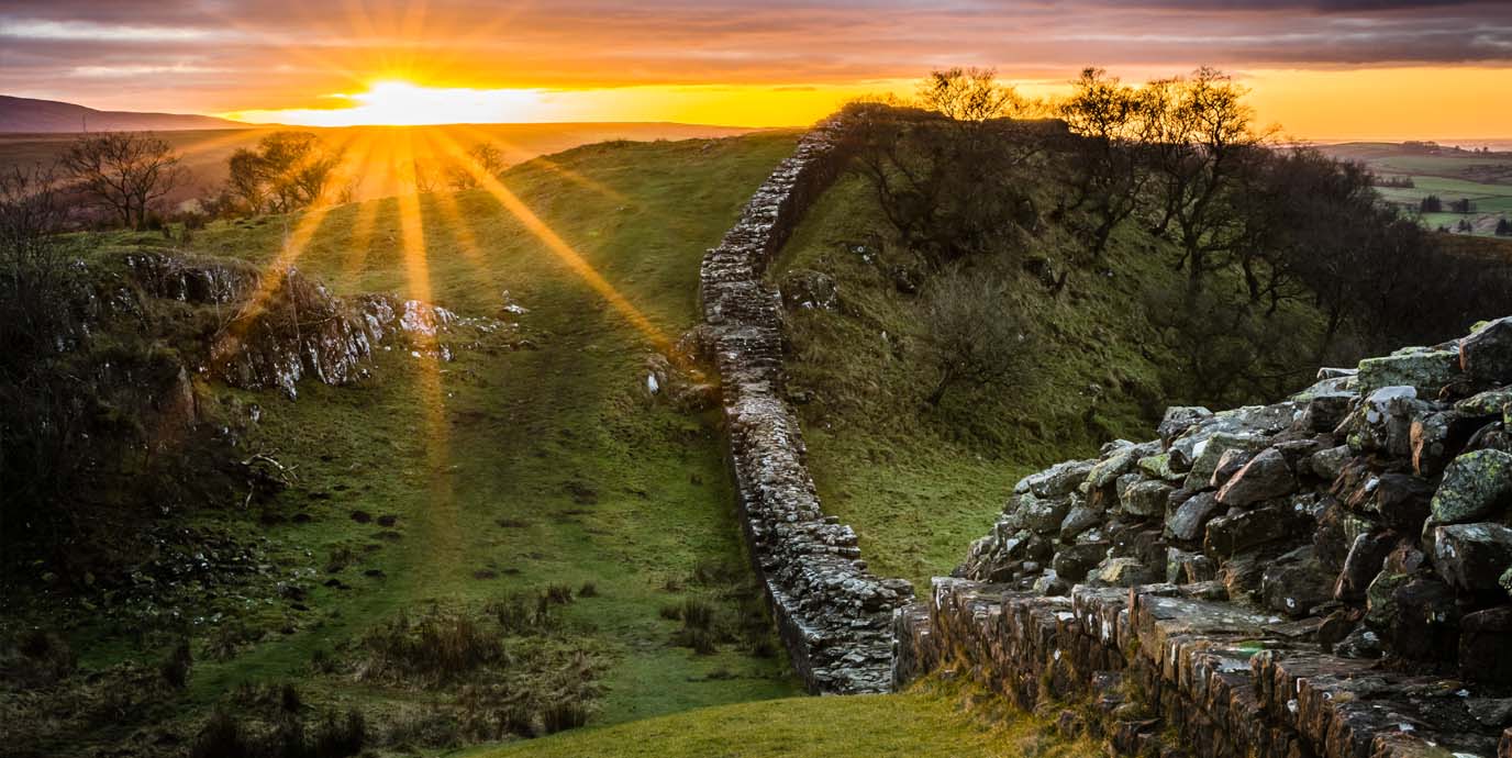
The Hadrian’s Wall Path is one of England’s most fascinating National Trails. Stretching from Wallsend on the River Tyne to Bowness-on-Solway on the shores of the Solway Firth, the route follows one of the most important Roman monuments in the world.
Built nearly 2,000 years ago on the orders of Emperor Hadrian, the wall marked the north-west frontier of the Roman Empire. Today, the UNESCO World Heritage Site offers walkers a unique opportunity to combine long distance walking with some of Britain’s most significant archaeological sites.
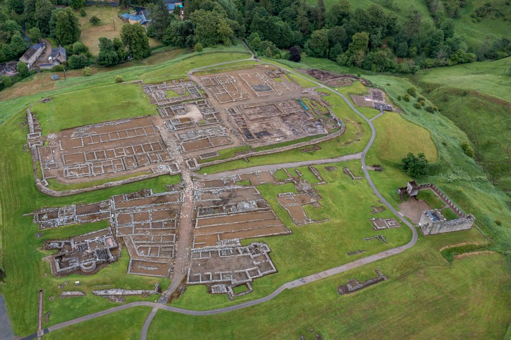
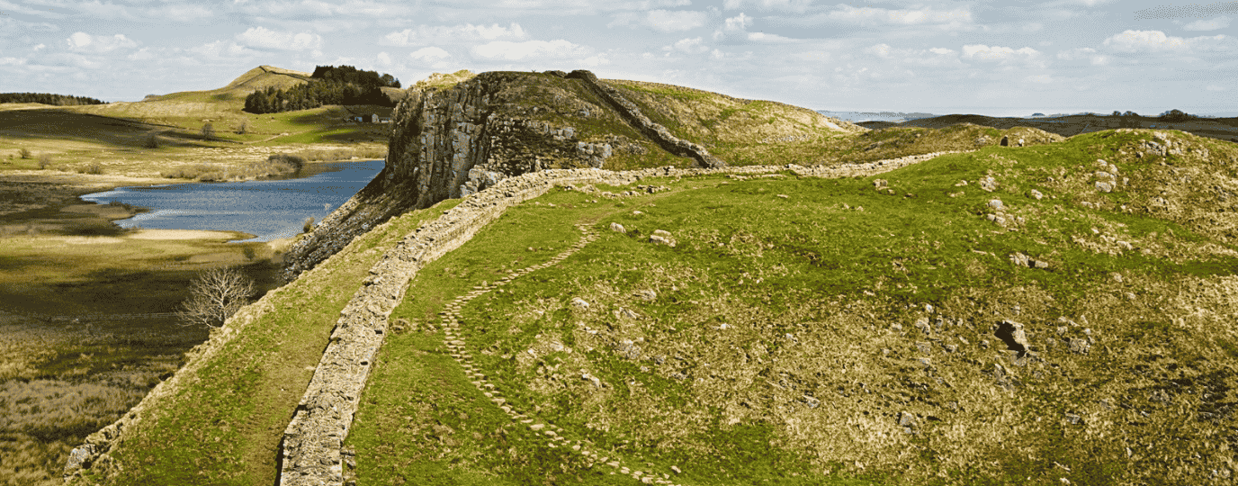
Along the route you’ll encounter Roman forts, milecastles, museums, rugged crags, wide open countryside and historic market towns. The trail passes through urban riverside landscapes in Newcastle, the dramatic scenery of Northumberland, and the peaceful coastal marshes of Cumbria before reaching the west coast.
Hadrian’s Wall Path Walk Map FAQs
- Why do most people walk the Hadrian’s Wall Path east to west?
- Where can I find an online map of the Hadrian’s Wall Path?
- Is there a single paper map for the Hadrian’s Wall Path route?
- Which Ordnance Survey maps do I need for Hadrian’s Wall Path?
- Is the route available on the OS Maps app?
- How long is Hadrian’s Wall Path?
- Where does the walk start and finish?
- Is Hadrian’s Wall Path difficult?
- Do I need good navigation skills?
- What are the highlights of the route?
- Suggested Hadrian’s Wall Path itinerary
Why do most people walk the Hadrian’s Wall Path east to west?
Most walkers start in Wallsend and head west towards Bowness-on-Solway. Walking in this direction follows the route in which the Roman wall was constructed and allows the story of the frontier to unfold naturally as you travel westwards.
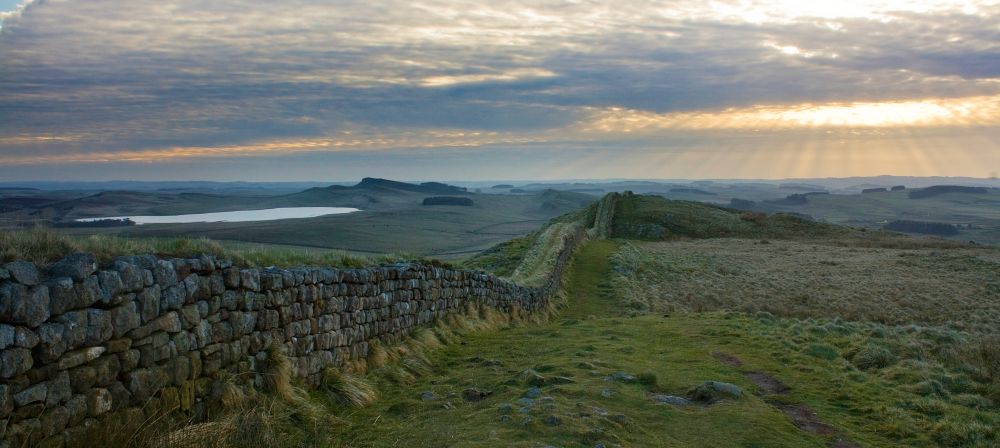
The east to west direction also means the most dramatic stretches of wall around Housesteads, Steel Rigg and Winshields Crags are reached after a couple of days on the trail, once walkers have found their rhythm.
Where can I find an online map of the Hadrian’s Wall Path?
You can explore the entire route using the interactive map above. It shows the full National Trail from Wallsend to Bowness-on-Solway, helping you plan stages, accommodation and transport connections.
Premium OS Maps users can access detailed mapping, route planning tools and 3D Flythrough features.
Is there a single paper map for the Hadrian’s Wall Path route?
No. The trail crosses multiple map areas across Tyne and Wear, Northumberland and Cumbria, so there is no single OS Explorer map covering the entire route.
Many walkers use OS Maps for planning and navigation or carry the relevant Explorer maps for the sections they are walking.
Which Ordnance Survey maps do I need for Hadrian’s Wall Path?
The route passes through several Explorer map areas, including:
OS Explorer 314 Solway Firth
OS Explorer 315 Carlisle
OS Explorer 316 Newcastle upon Tyne
OS Explorer OL43 Hadrian’s Wall
EXPLORE THE
OS Shop
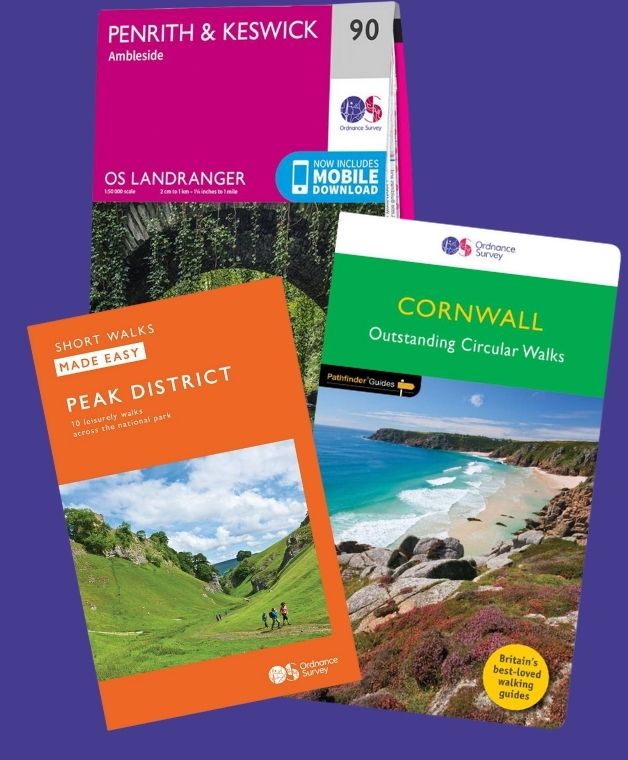
We are with you every step of the way. Shop our trusted walking and hiking maps and guidebooks so you can explore the outdoors with confidence.
Go to the shopIs the route available on the OS Maps app?
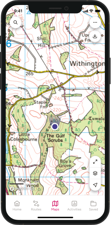
Yes. The full National Trail can be viewed in OS Maps, making it easy to plan daily stages, identify accommodation and navigate throughout the walk.
Premium users can also print maps and download routes for offline use.
How long is Hadrian’s Wall Path?
Hadrian’s Wall Path is approximately 84 miles (135 km) long.
Most walkers complete the trail in six to ten days depending on fitness, sightseeing stops and how much time they spend exploring Roman forts and museums along the route.
Where does the walk start and finish?
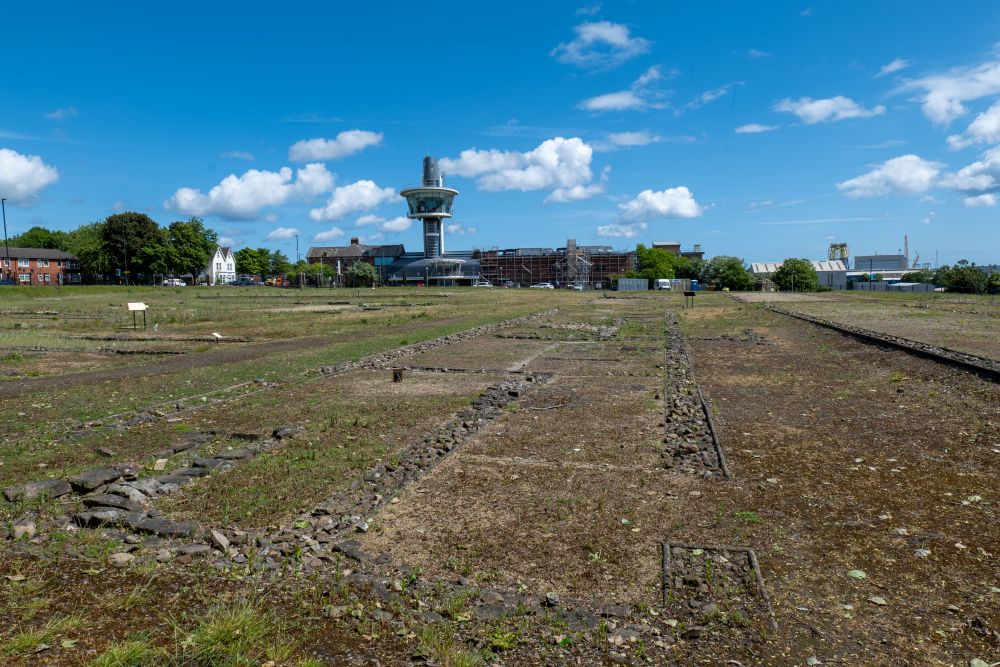
The trail officially starts at Segedunum Roman Fort in Wallsend, near Newcastle upon Tyne, and finishes at Bowness-on-Solway on the Cumbrian coast.
Together these points mark a memorable coast to coast crossing of northern England.
Is Hadrian’s Wall Path difficult?
Hadrian’s Wall Path is generally considered a moderate National Trail.
Much of the route is relatively straightforward, with well maintained paths and clear waymarking. The most challenging section is through central Northumberland between Chollerford and Birdoswald, where the trail crosses a series of steep crags and undulating terrain.
Despite these hills, Hadrian’s Wall Path is often recommended as one of the more accessible National Trails for people new to long distance walking.
Do I need good navigation skills?
The route is well waymarked with National Trail acorn signs throughout.
However, carrying reliable mapping is always recommended. Navigation skills become particularly valuable when locating accommodation, planning transport, exploring nearby Roman sites or walking during poor weather and reduced visibility.
What are the highlights of the route?
Many walkers consider the following among the standout locations on the trail:
- Segedunum Roman Fort, Wallsend
- Chesters Roman Fort
- Housesteads Roman Fort
- Vindolanda Roman Fort and Museum
- Steel Rigg
- Sycamore Gap viewpoint area
- Winshields Crags
- Birdoswald Roman Fort
- Solway Coast landscapes around Bowness-on-Solway
Together they provide an exceptional mix of history, scenery and archaeological interest.
Suggested Hadrian’s Wall Path Itinerary
Here is a popular seven day breakdown of the National Trail:
Wallsend to Heddon-on-the-Wall. 15 miles (24km)
Starting at Segedunum Roman Fort, this stage follows the River Tyne through Newcastle before gradually entering open countryside.
Heddon-on-the-Wall to Chollerford. 15 miles (24km)
A gentler rural stage where traces of the Roman frontier begin to appear more frequently across farmland and rolling countryside.
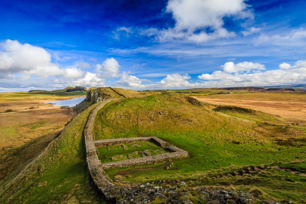
Chollerford to Once Brewed. 14 miles (23km)
One of the most spectacular sections of the route, passing Chesters Roman Fort, Housesteads and some of the best preserved stretches of Hadrian’s Wall.
Once Brewed to Greenhead. 11 miles (18km)
A shorter but dramatic day through the heart of Hadrian’s Wall country with superb views from the Whin Sill escarpment.
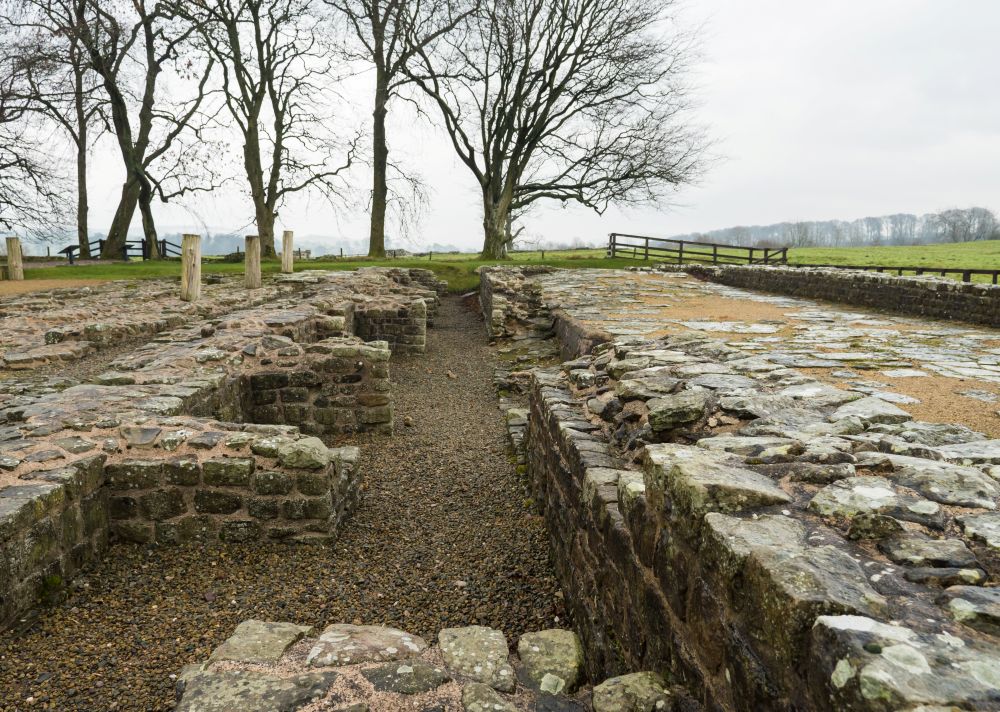
Greenhead to Carlisle. 20 miles (32km)
The route becomes gentler as it follows the western remains of the wall through rural landscapes and historic sites including Birdoswald Roman Fort.
Carlisle to Burgh-by-Sands. 8 miles (13km)
A flatter stage through the Eden Valley and open countryside towards the Solway coast.
Burgh-by-Sands to Bowness-on-Solway. 7 miles (11km)
The final section follows peaceful salt marshes and coastal landscapes to the official end of the trail on the Solway Firth.
Use the Hadrian’s Wall Path map above to start planning your walk, discover key Roman sites and explore stage options.
From the bustling quaysides of Newcastle to the wide open landscapes of the Solway coast, Hadrian’s Wall Path combines history, archaeology and rewarding walking to create one of England’s most distinctive National Trails.
If you’re interested in finding out more about the Official National Trails of the UK take a look at our guide.
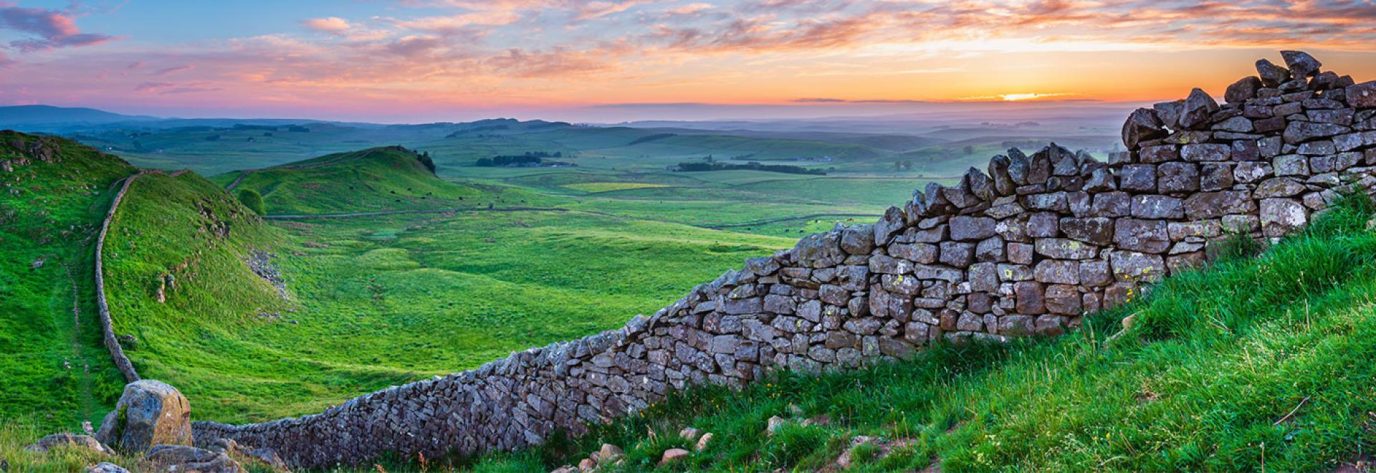
Hadrian’s wall – a journey back in time
Hadrian’s Wall Path showcases 84 miles of UNESCO World Heritage site, two historic cities, a National Park, a picturesque coast and countryside, and of course a BIG wall! OS GetOutside Champion David Wilson gives us the highlights of this beautiful trail.
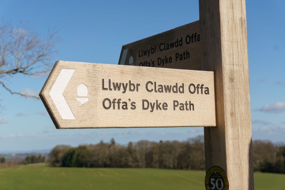
Long Distance Footpaths: Discovering Britain’s ‘Diamond’ trails
How do you find the best footpath? Diamonds on OS maps mark named long-distance routes, highlighting footpaths are truly something special!
Britain’s Best History and Heritage Walks
Will you be ticking a long distance footpath off your list this year? – Why not pick one of these historical walks
By Hilary Pullen
Meet Hilary, Editor of OS Maps Discover. Hilary is based in North Wales and loves hiking with her dogs in the mountains of Eryri and Bryniau Clwyd, you can find her on Instagram @nearlyuphill and read her guides to walking in North Wales.
If you would like to be a featured OS Author and write an article or route guide find out more here – how to submit an article idea