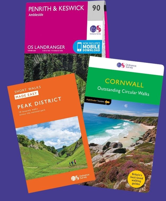

Looking for a Thames Path map?
Explore the full route on the interactive OS Maps map below, find the OS paper maps needed for different sections, and get answers to the most common questions about walking, cycling and planning the Thames Path.
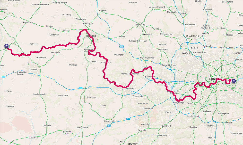
The Thames Path follows the River Thames from its source near Kemble in the Cotswolds through Oxford, Reading, Windsor and London. Use the interactive map to explore the route, examine individual sections, measure distances and plan your walk.
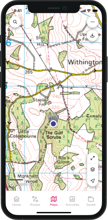
OS Maps Premium users can view detailed topographic mapping, save or print routes, and download maps for use offline.
Interactive Thames Path Map on OS Maps
The Thames Path at a glance
- Distance: approximately 184 miles / 296 km
- Start: the source of the River Thames near Kemble in the Cotswolds
- Finish: Thames Barrier, London
- Optional extension: Thames Barrier to Crayford Ness
- Typical duration: approximately 12 to 16 walking days
- Difficulty: generally easy to moderate
- Terrain: towpaths, riverside paths, fields and urban walking
- Best for: first long-distance trail, section walking and accessible day trips
- Cycling: permitted on some sections, but not across the entire trail
- Navigation: OS Maps app and relevant OS Explorer maps
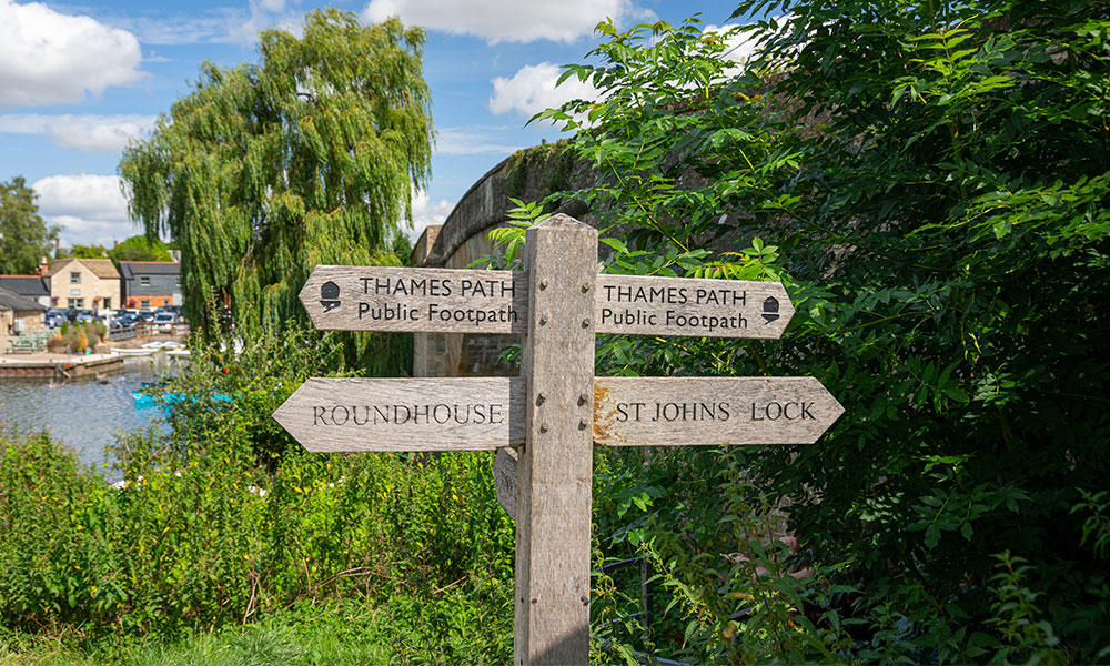
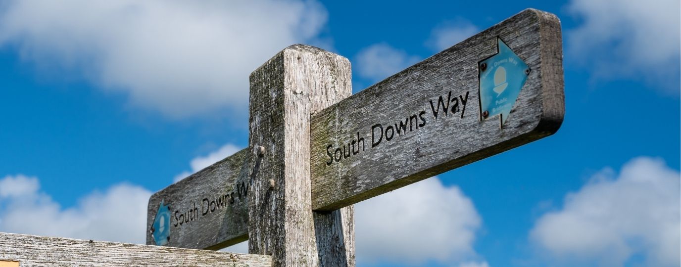
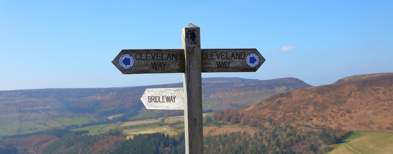
Thames Path waymarker
The Thames Path is one of Britain’s most varied long-distance walks. It begins in quiet Cotswold countryside, passes historic towns and villages, and finishes among some of London’s best-known riverside landmarks. Much of the trail is relatively level, making it suitable for section walks as well as a complete long-distance journey.
Where can I find an online map of the Thames Path?
Can I download or print a Thames Path map?
Can I print The Thames Path Map?
Which OS paper Maps do I need for The Thames Path?
How long is the Thames Path?
Where does the Thames Path start and finish?
Which direction should I walk the Thames Path?
How many days does it take to walk?
Is the Thames Path difficult?
Can you cycle the Thames Path?
Is the whole route waymarked?
Does the Thames Path stay on the same side?
What is the Thames Path extension?
What are the usual stages of the Thames Path
Where can I find an online map of the Thames Path?
You can explore the entire trail using the interactive Thames Path map above. It shows the route from the source of the River Thames in the Cotswolds to the Thames Barrier in London, making it easy to examine individual sections, measure distances and plan daily stages.
You can also open the route in OS Maps to view it alongside detailed mapping and nearby paths, places and facilities. OS Maps Premium members can access additional mapping features and download maps for use offline.
Which OS paper Maps do I need for The Thames Path?
160 WindsorWeybridge & Bracknell
161 London South
162 Greenwich & Gravesend
168 Stroud, Tetbury & Malmesbury
169 Cirencester & Swindon
170 Abingdon, Wantage & Vale of White Horse
171 Chiltern Hills West
172 Chiltern Hills East
173 London North
180 Oxford
Can I print a Thames Path map?
OS Maps Premium members can print detailed mapping for individual sections of the Thames Path. Printing the route in stages is more practical than trying to fit the complete 184-mile trail onto one sheet, as it allows paths, junctions and surrounding features to be shown clearly.
Before printing, divide your walk into daily stages and include enough mapping on either side of the trail to cover accommodation, public transport and possible diversions.
How long is the Thames Path?
The Thames Path National Trail is approximately 184 miles, or 296 km, long. It follows the River Thames from its source in the Cotswolds to the Thames Barrier in London.
Your actual walking distance may be slightly longer once journeys to accommodation, railway stations, shops and other facilities are included. Temporary diversions can also affect the distance of individual stages.
Where does the Thames Path start and finish?
The Thames Path runs from the source of the River Thames in the Cotswolds to the Thames Barrier in London. The source is in the countryside west of Cirencester, while the official London endpoint is beside the barrier at Woolwich.
The trail can be walked in either direction. Many itineraries follow the river downstream towards London, but walking westwards offers a gradual transition from the capital to the quieter upper reaches of the Thames.
Which direction should I walk the Thames Path?
Many people walk the Thames Path from west to east, starting at the source and following the river downstream towards London. This creates a natural sense of progression as the Thames grows from a small rural watercourse into the wide river that passes through the capital.
Walking from east to west is also possible. This direction allows you to leave the busiest urban sections behind and finish in the quieter Cotswold countryside. The best direction may ultimately depend on accommodation, public transport and how you intend to divide the route into stages.
How many days does it take to walk the Thames Path?
Most walkers complete the Thames Path in around 12 to 16 days, depending on their fitness, preferred daily distance and the amount of time they want to spend exploring places along the route.
A 14-day itinerary would require an average of roughly 13 miles per day. Faster walkers may complete the trail in fewer days, while shorter stages make it suitable for a series of weekends or day walks.
Plan each stage around accommodation and transport as well as distance. Some rural parts of the upper Thames have fewer railway stations and services than the sections closer to London.
Is the Thames Path difficult?
The Thames Path is generally considered an easy to moderate long-distance trail. It has relatively little sustained climbing, and much of the route follows riverside paths, towpaths and level urban walkways.
However, walking the entire route still requires preparation. Rural sections can become muddy or waterlogged, while prolonged rain and high river levels may cause flooding or temporary diversions. Some stages are long, and the harder surfaces through London can be tiring over a full day.
Check the weather, river conditions and any route closures before setting out.
Can you cycle the Thames Path?
You cannot cycle along every part of the Thames Path. Some sections use public footpaths where there is no general right to cycle, while other parts follow bridleways, cycle tracks or shared-use routes.
Do not assume that the complete walking trail forms one continuous cycle route. Check the access rights for each section and use OS Maps to plan a legal alternative where cycling is not permitted.
There are cycle-friendly sections in and around London, including routes between Putney and Greenwich, but these do not mean the entire National Trail is open to cyclists. The existing article also notes that some sections are public footpaths and therefore unavailable to cyclists.
Is the whole Thames Path waymarked?
The Thames Path is waymarked along the route, but signs should be used alongside reliable mapping rather than as your only means of navigation.
Waymarks may be less obvious at complex junctions, bridge crossings and in built-up areas. Temporary diversions caused by flooding, construction or path maintenance can also take walkers away from the usual route.
Carry detailed mapping, keep track of your location and check current route information before starting each stage.
Does the Thames Path stay on the same side of the river?
No. The Thames Path changes between the north and south banks at various points, using bridges to continue along the available rights of way.
This is particularly important in London, where it can be tempting to continue along a riverside walkway that is not part of the official trail. Follow the mapped route and look for Thames Path waymarks at bridge crossings and junctions.
What is the Thames Path extension?
The official Thames Path National Trail finishes at the Thames Barrier in London. An additional route continues for approximately 10 miles from the barrier to Crayford Ness and is sometimes called the Thames Path Southeast Extension.
The extension passes the Royal Arsenal and continues through landscapes beside the Thames Estuary. It is separate from the recognised National Trail, and some sections may be affected by high tides, closures or changing access conditions. Check current route information and tide times before walking it.
The existing article says the extension opened in 2001 and links the Thames Path with the London Outer Orbital Path, but these details and the current access information should be checked before publication.
What are the main stages of the Thames Path?
The route can be divided in several ways, but commonly used stage points include:
- The Source to Cricklade
- Cricklade to Lechlade
- Lechlade to Newbridge
- Newbridge to Oxford
- Oxford to Abingdon
- Abingdon to Wallingford
- Wallingford to Goring
- Goring to Reading
- Reading to Henley-on-Thames
- Henley-on-Thames to Marlow
- Marlow to Windsor
- Windsor to Staines
- Staines to Teddington
- Teddington to Putney
- Putney to Tower Bridge
- Tower Bridge to Greenwich
- Greenwich to the Thames Barrier
These are suggested planning sections rather than compulsory official stages. You can combine or shorten them to suit your walking speed, accommodation and transport arrangements.
Thames Path Highlights
The Source and the Cotswolds
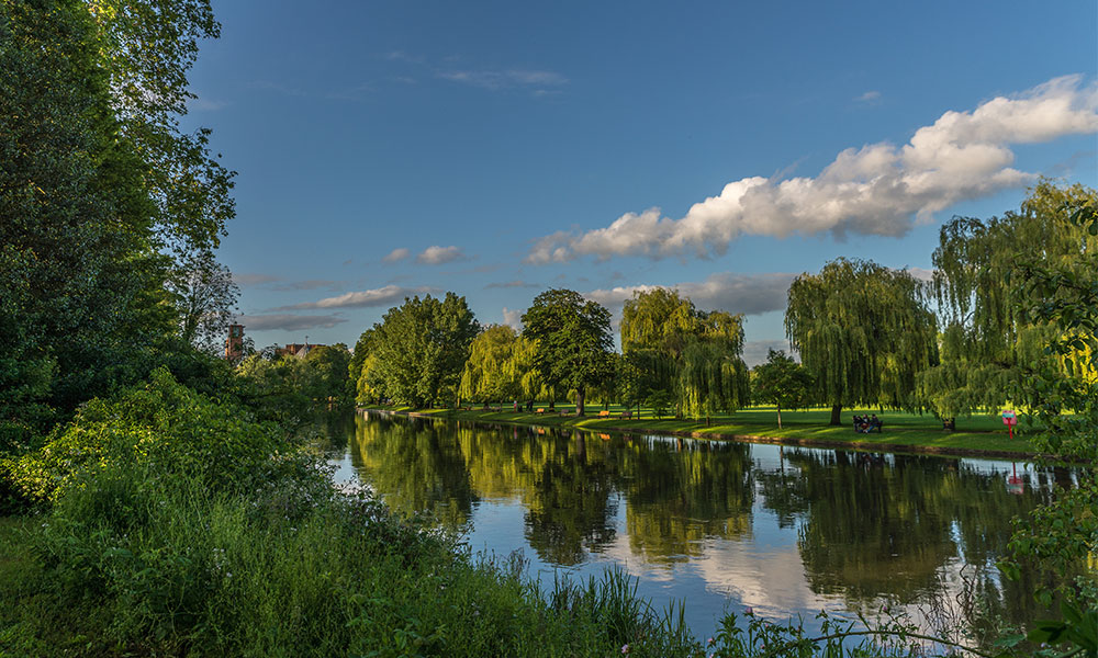
The Thames Path begins at the source of the River Thames near Cirencester. From here, the first stage runs for around 12 miles to Cricklade, passing through the Cotswolds Water Park.
The upper reaches of the river feel very different from the Thames in London. The route crosses quiet countryside, and some sections move away from the towpath, so suitable footwear is recommended after wet weather.
Newbridge and Oxford
Newbridge is one of the oldest bridges on the Thames Path and is believed to date from the 13th century. From here, the route continues for around 14 miles to Oxford.
The riverside approach leads into one of the trail’s first major cities, where historic architecture, shops, places to eat and a wide choice of accommodation make Oxford a natural stopping point.
The Chilterns and Goring-on-Thames
Between Abingdon and Reading, the Thames Path passes through a varied landscape of riverside paths, open countryside and attractive villages.
The route can be divided into manageable sections through Wallingford, Goring-on-Thames and Tilehurst. Around Goring, the Thames passes between the Chilterns and the North Wessex Downs, creating one of the most distinctive landscapes on the trail.
Henley-on-Thames and Marlow
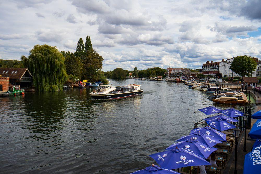
From Reading, the path follows the river for around nine miles to Henley-on-Thames, home of the famous Royal Regatta. The route passes through Sonning, which makes a pleasant place to stop for lunch.
The next section from Henley to Marlow is approximately eight miles long. It offers relaxed riverside walking and views of Marlow Suspension Bridge.
Windsor, Eton and Runnymede
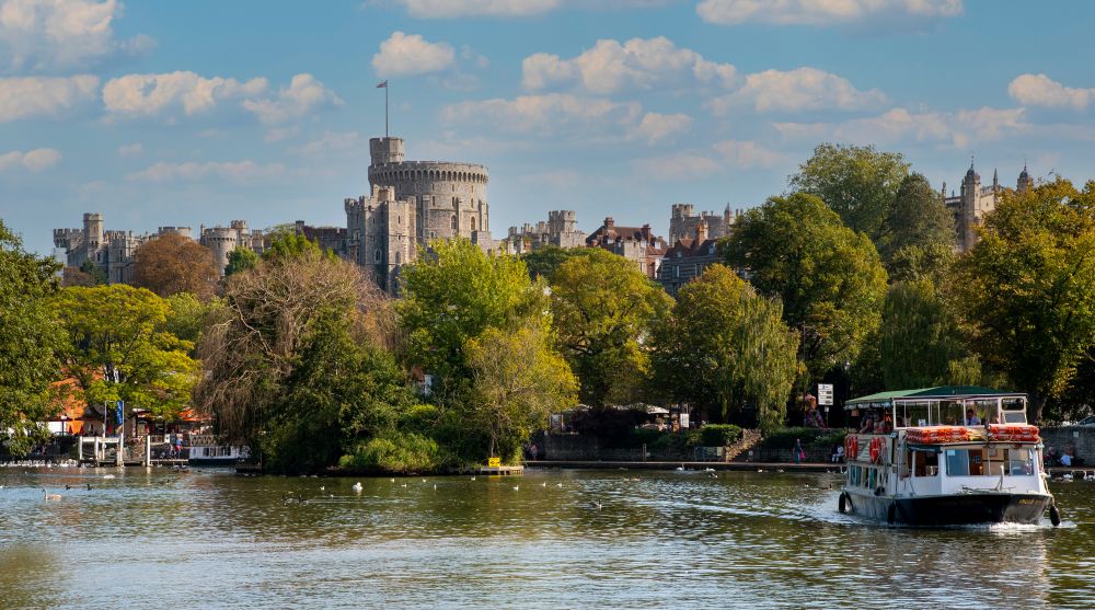
The route continues from Marlow through Maidenhead towards Windsor, with a short diversion into Eton before Windsor Castle comes into view.
From Windsor, the Thames Path runs for around eight miles to Staines, passing through Runnymede, the historic riverside landscape associated with the sealing of Magna Carta.
Richmond, Teddington and Putney
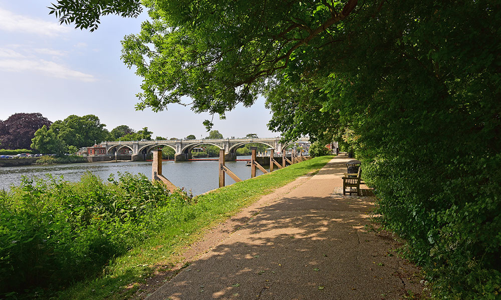
After Staines, the Thames Path enters Greater London and continues through Shepperton and Teddington.
The character of the route gradually becomes more urban, but there are still attractive riverside stretches as the trail passes through west London towards Putney.
Central London
The central London section passes some of the capital’s most recognisable landmarks, including Battersea Power Station, the Houses of Parliament, the London Eye, Tower Bridge and the Tower of London.
This part of the Thames Path combines riverside walking with easy access to stations, cafés and visitor attractions, making it particularly suitable for shorter day walks.
Greenwich and the Thames Barrier
Beyond Tower Bridge, the route continues through east London towards Greenwich and the Thames Barrier.
Reaching the barrier marks the end of the recognised National Trail and completes the journey from the quiet upper reaches of the Thames to one of the widest and most dramatic parts of the river.
History of the Thames Path
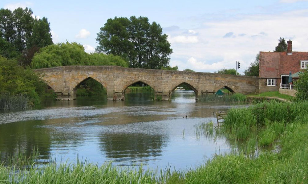
The path was conceived and suggested back in 1948, but it wasn’t officially opened for nearly 50 years; only after the persistence of The Ramblers. The delay was due to the removal of several ferries which had formerly linked the towpath. It wasn’t until one Rambler, David Sharp, drew up a preliminary route that the campaign was reignited. His research and unrelenting dedication ultimately saw the Thames Path open in 1996.
Part of the route has also been dubbed the Thames Pilgrim Way; 104 miles which was inaugurated by Revd John Pritchard to mark his last days as Bishop of Oxford. Running through the Diocese of Oxford, this path has been designed to ‘offer a different dimension to a much-loved and well-trodden route’.
Ready to explore the Thames Path?

By OS Maps Discover Team
The OS Maps Discover content team creates and reviews practical, inspiring guides to walking, cycling, navigation and exploring the outdoors. Led by Editor Hilary Pullen, the team works with Ordnance Survey colleagues, outdoor experts and experienced contributors to ensure content is clear, useful and accurate. Have an outdoor story, expert advice or a route you would like to share? Find out how to submit an article idea and become a featured OS author.