
Article filter

The Thames Path Map & FAQ’s
Explore our Thames Path map and plan the 184-mile route from the Cotswolds to London, with walking stages, highlights and cycling advice.

How to Plan a Walking Route Using OS Maps
Learn how to plan a walking route with OS Maps, including choosing a suitable route, checking terrain and hazards, and preparing for your walk.
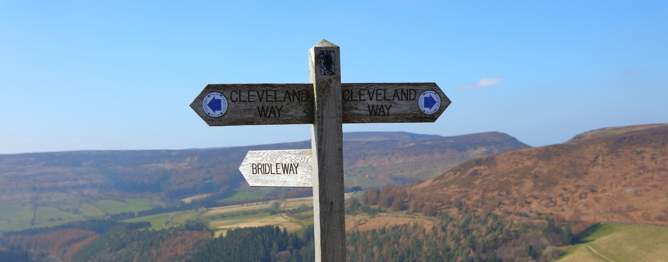
Cleveland Way Map and FAQs
Explore our interactive Cleveland Way Map and start planning your own trip with our tips and advice.

Best Islands in Britain for History Lovers
Discover the best islands in Britain for history lovers, featuring prehistoric monuments, Viking settlements, royal landmarks and coastal heritage.
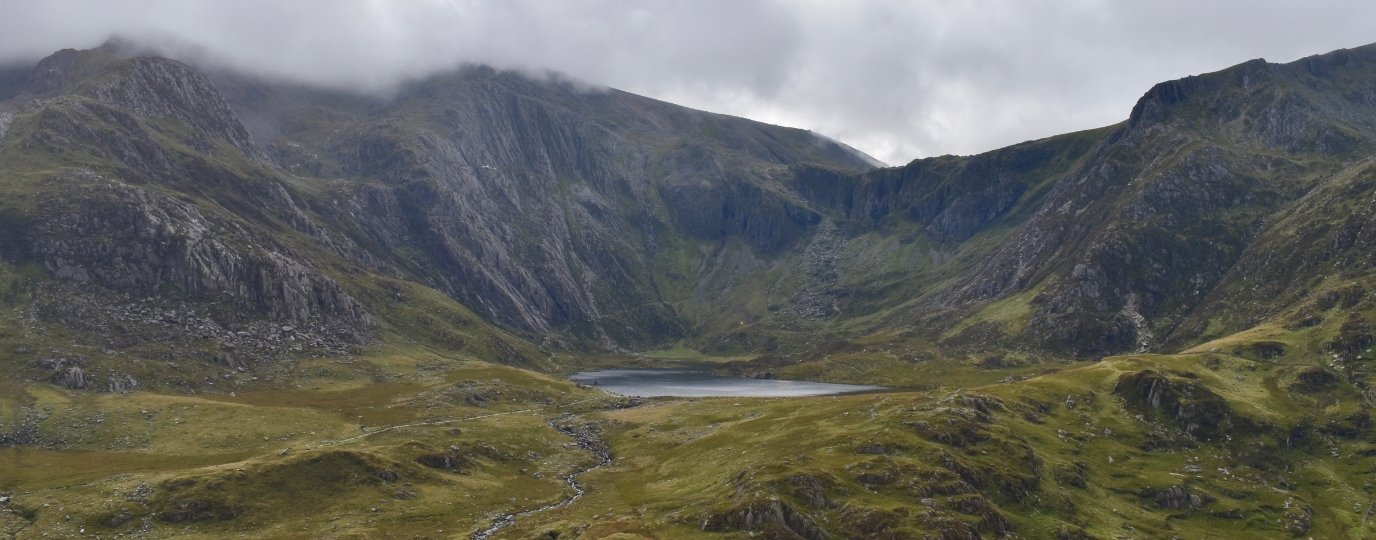
Devilishly Named Places You Can Walk To This Halloween
Discover Britain’s most devilishly named places, from Devil’s Dyke to Devil’s Bridge. Explore the stories, myths and get the OS Maps walking guides for each devilishly named destination.
Common Walking Holiday Mistakes and How to Avoid Them
Don’t make these classic walking holiday mistakes! We explore the most common reasons that you don’t make the most of your long distance walk
Best Stargazing Spots in and Around London
Find the best places to see the night sky in reach of London. Discover the best opportunities for stargazing near London in this OS Maps guide.
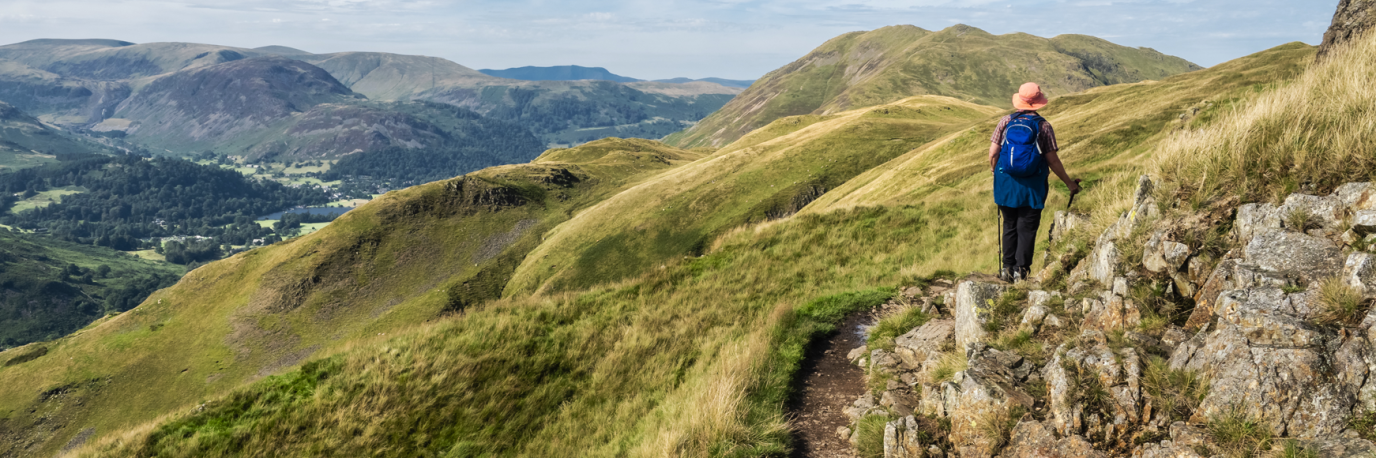
Public Rights of Way Explained: Footpaths, Bridleways and Access Land
Learn what public rights of way are, where you can legally walk, cycle and ride, how to find public footpaths and bridleways, and what to do if a route is blocked.

Best Places for Stargazing in Wales
See the best spots for stargazing in Wales, including Eryri and Bannau Brycheiniog, in this OS guide. Find the best routes to see the Wales night sky here.