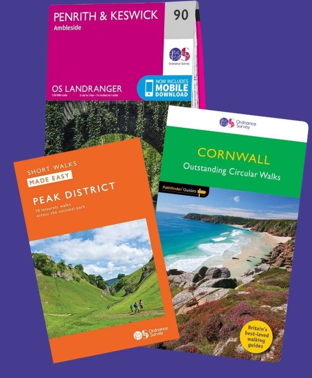
Do you know how to navigate with a map?
It’s a phrase often heard when speaking to walkers: learning to navigate made my walking holiday better.
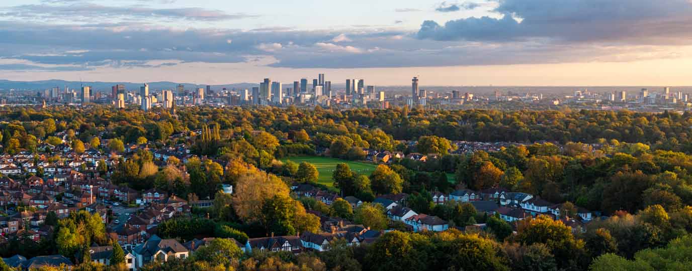
Working in the world of walking holidays, it comes up time and again in conversation. Not usually at the beginning, when the focus is on choosing a route or planning the trip, but afterwards – when people reflect on what made the experience so memorable. Somewhere along the way, something has shifted. The walk has become more than simply following a path from one place to the next.
From following the path to understanding the landscape
For many, a first multi-day walk is about simplicity. Routes are well waymarked, guidebooks are clear, and there’s reassurance in knowing that the path is already set out. It allows walkers to focus on the enjoyment of being outdoors, without worrying too much about where they’re going. And for good reason – this is often the perfect introduction.
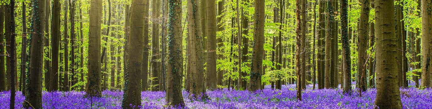
But over time, many walkers find themselves becoming more curious about the landscape around them. The line of the path is no longer the only focus. Questions begin to arise: what lies just beyond that ridge? Where does that track lead? What is that feature marked on the map but not immediately visible from the path?
This is often where learning to navigate begins to change the experience.
Building confidence through navigation
For those newer to walking, even a basic understanding of a map can bring a sense of confidence. Knowing how to check your position, recognise landmarks, or anticipate what lies ahead can make the day feel more relaxed and self-assured. Rather than simply following signs, there’s a growing awareness of how the route fits into the wider landscape.
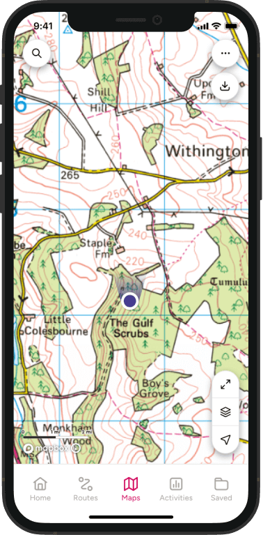
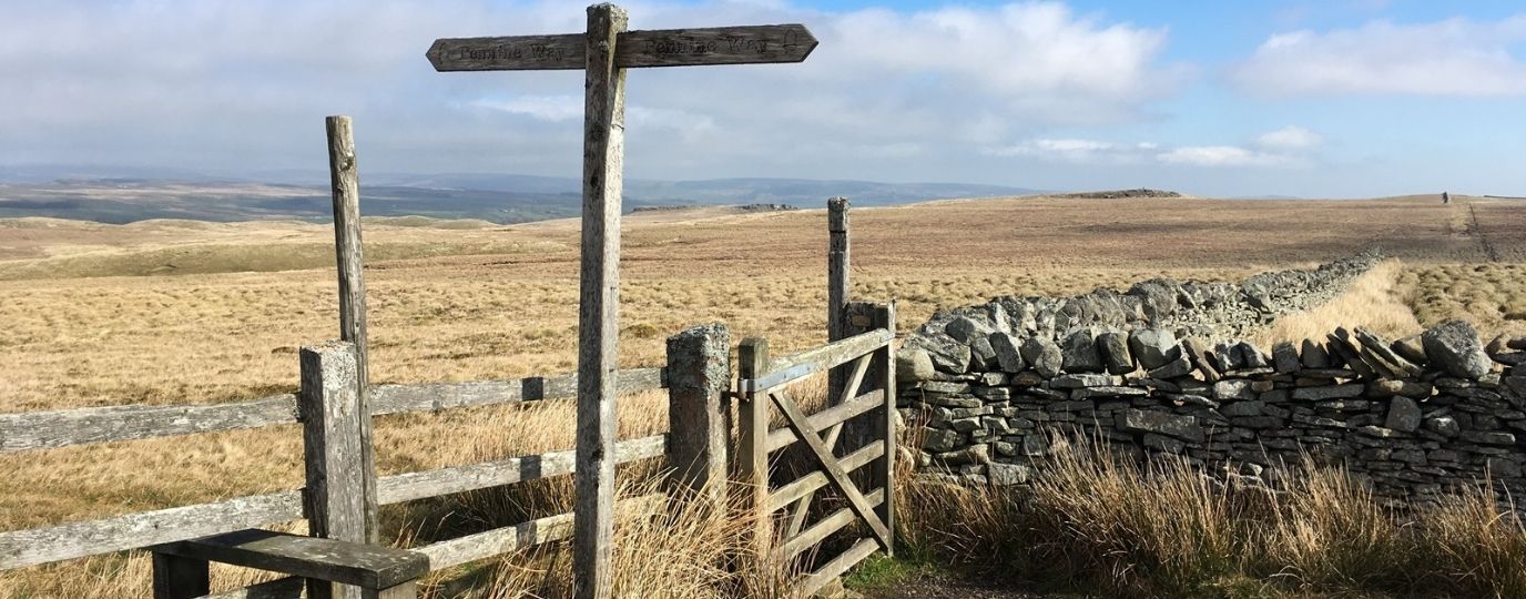
For more experienced walkers, particularly those venturing onto quieter or more remote trails such as the Pennine Way or the sparsely signed Two Moors Way, navigation becomes less about reassurance and more about independence. Waymarks may be fewer, paths less obvious, and upland conditions more changeable. Being able to read the landscape – to understand contours, judge distance, and make small decisions along the way – adds a new dimension to the journey.
Seeing more with a map in hand
Perhaps most interestingly, navigation can also deepen the experience for those drawn to the stories within the landscape. Maps are rich with detail that isn’t always immediately visible on the ground: ancient earthworks, old boundary lines, forgotten tracks, and subtle changes in terrain that hint at centuries of human activity. Learning to interpret these features transforms the walk into something more exploratory. The map becomes not just a tool for direction, but a companion – revealing layers of history and character that might otherwise go unnoticed.
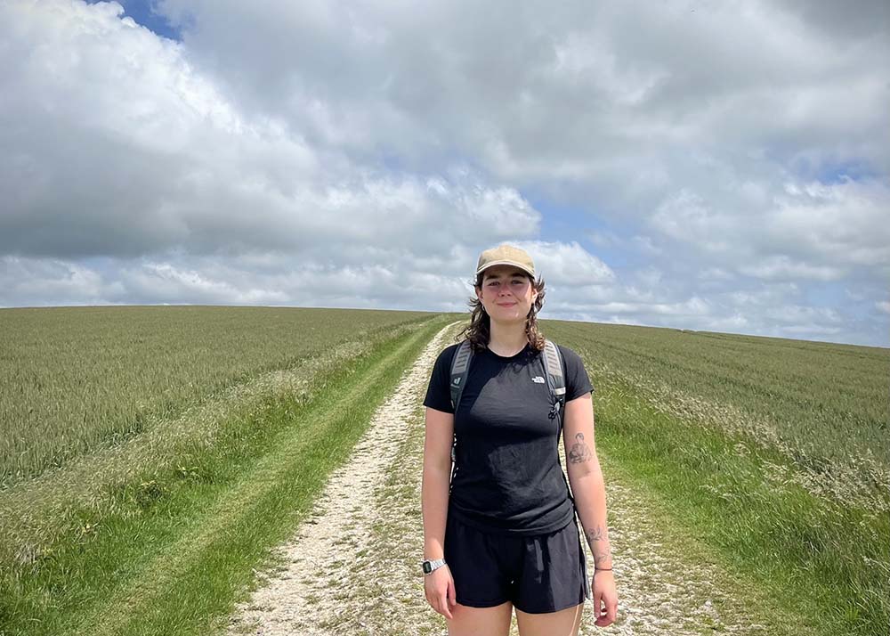
Even on well-known routes, this shift can be surprisingly powerful. Walking the South Downs Way with my daughter last year for example, the path itself was clear and easy to follow. Yet with a map in hand, our experience was enhanced. Burial mounds, ancient field systems and long-forgotten routes began to emerge from what might otherwise seem like open downland. Instead of simply passing through the landscape, we were engaging with it – seeking out features and understanding their place.
A richer walking experience
In this way, learning to navigate doesn’t complicate a walking holiday; it does, as I say, enhance it. It makes it better. It brings a greater awareness of surroundings, a deeper connection to place, and a confidence that allows walkers to engage more fully with the journey. The route is no longer just a line to follow, but part of a wider landscape waiting to be understood.
It’s perhaps no surprise, then, that the phrase comes up so often. Not as a boast, but as a reflection. A small skill learned along the way, and a subtle change in perspective – one that turns a good walking holiday into something even more rewarding.
To learn more about self-guided walking holidays and discover a range of routes across the UK, Ireland, and the Channel Islands, visit Mickledore Travel for further inspiration.
Britain’s Best History and Heritage Walks
Will you be ticking a long distance footpath off your list this year? – Why not pick one of these historical walks
Top 10 Tips for Multi-Day Walks
10 practical tips for multi-day walks from the experts at Mickledore – useful advice to make your walking holiday a success
How a Self-Guided Walking Holiday Works – Tips for Beginners
Discover how a self-guided walking holiday works, combining independence with organised travel for the perfect adventure

By Mark Wright
Meet Mark Wright – Product Development Manager at Mickledore
Mark moved to the Lake District from the Scottish Borders in 2010. He began contributing to Mickledore’s social media in 2014, before joining the company full-time in 2019. Since then, he has been creating new routes, developing existing ones, and marketing them to the world.
Visit Mickledore for detailed itineraries and inspiration for your next walking holiday