Training for a Himalayan teahouse trek? Start on Britain’s mountains
Planning Everest Base Camp or the Annapurna Sanctuary? The best training ground is closer than you think. Here’s how to use Britain’s hills, from the Peak District to Ben Nevis, to arrive in Nepal with strong legs, tested kit and realistic expectations.
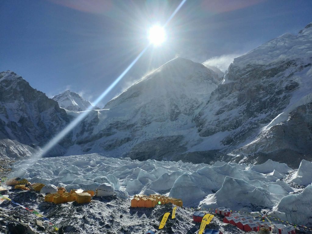
Standing beneath Everest, or in the Annapurna Sanctuary with the peaks all around you, is on many walkers’ bucket lists. The walking itself can feel daunting: day after day of long climbs and steep descents, higher than anything in Britain.
Founder, Get Lost Forever
The good news is that most of the preparation can happen much closer to home, on the hills you already know. The team that first climbed Everest did exactly that.
Train like the 1953 Everest team
In January 1953, members of the British Everest expedition gathered in North Wales to test equipment and practise working together. Using the Climbers’ Club hut at Helyg as a base, they trialled oxygen-carrying systems on the surrounding mountains, including Yr Wyddfa and Tryfan.
The training helped them become familiar with their equipment before the expedition’s high-altitude acclimatisation programme in Nepal.
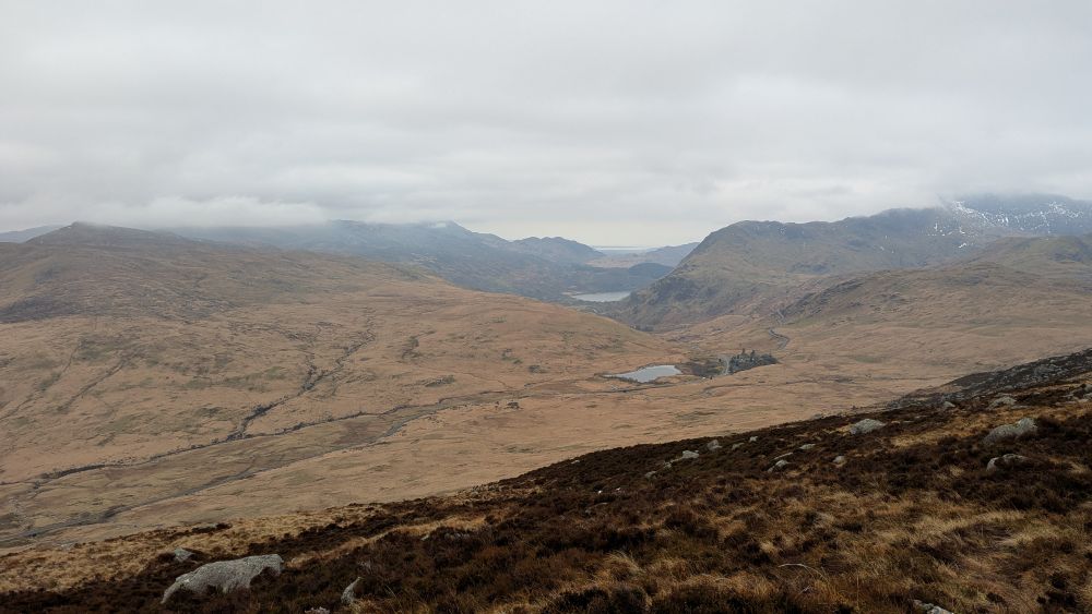
The Pen-y-Gwryd Hotel, at the foot of the Llanberis Pass, has been tied to that team ever since. The ceiling of the hotel’s small dining room has signatures, like those of Edmund Hillary and Tenzing Norgay.
The living members returned for reunions for many years.
The team left for Nepal in February 1953, and Hillary and Tenzing reached the summit on 29 May. As the Welsh hills couldn’t give them altitude, they handled that in Nepal with weeks of gradual training and acclimatisation on the approach.
But what the British hills gave them was hill fitness, practice with their kit, and the habit of moving well on rough ground.
Your goal is far more modest than theirs, but the same split still works. Use the British hills for legs, lungs and kit. Leave the altitude to a sensible itinerary in Nepal.
Why British hills make good preparation
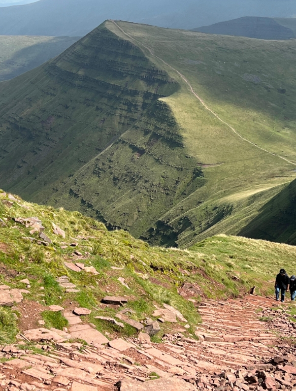
A Himalayan teahouse trek is, above all, a lot of walking uphill and downhill on rough paths, day after day. That’s exactly what British mountains offer.
- Real ascent. Several of our classic routes involve close to 1,000 m of climbing in a day, which is similar to the hardest days on many Himalayan treks.
- Rough ground. Scree, boulders, stone steps and loose descents train your ankles and knees in a way that pavements and treadmills can’t.
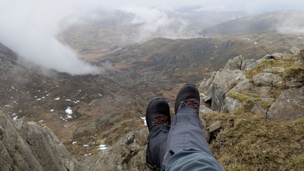
- Weather. If your waterproofs, boots and layers hold up on a wet, windy day on the Glyderau, you can trust them in Nepal.
- Navigation and judgment. Learning to read the ground, pace yourself and turn back when it’s sensible are skills that travel well.
What a Himalayan trek day actually asks of you
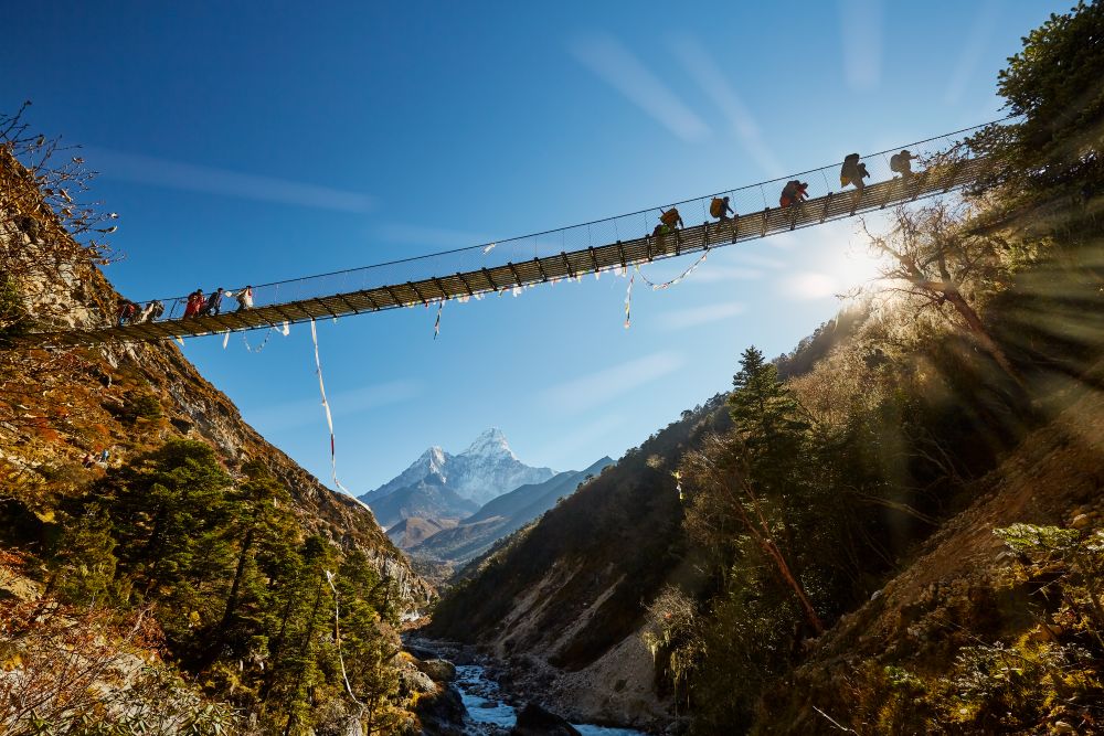
It helps to know what you’re training for. On a typical 12-day trek from Lukla to Everest Base Camp and back, UK operators describe walking days of roughly five to eight hours, with a few longer days.
Trekking companies suggest that you should be comfortable walking for several days in a row. Its itinerary lists daily ascents from about 250 m to 1,100 m, with the biggest climb on the day being up to Namche Bazaar.
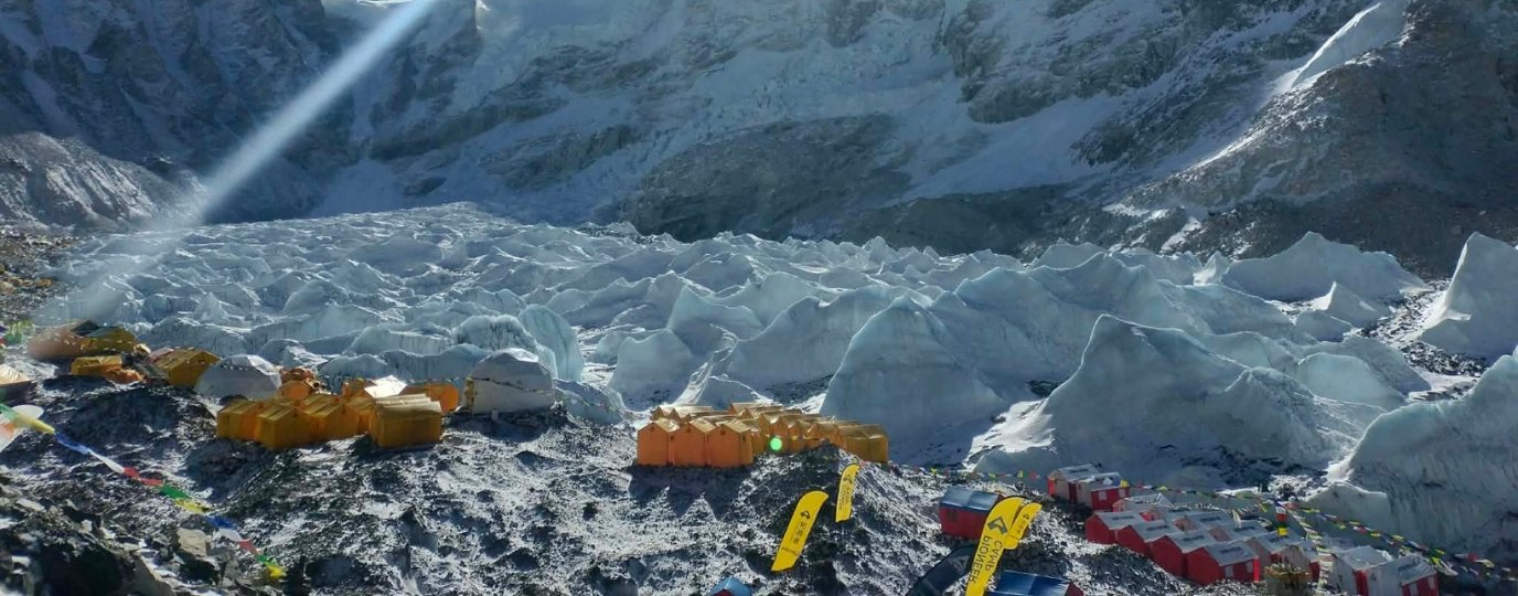
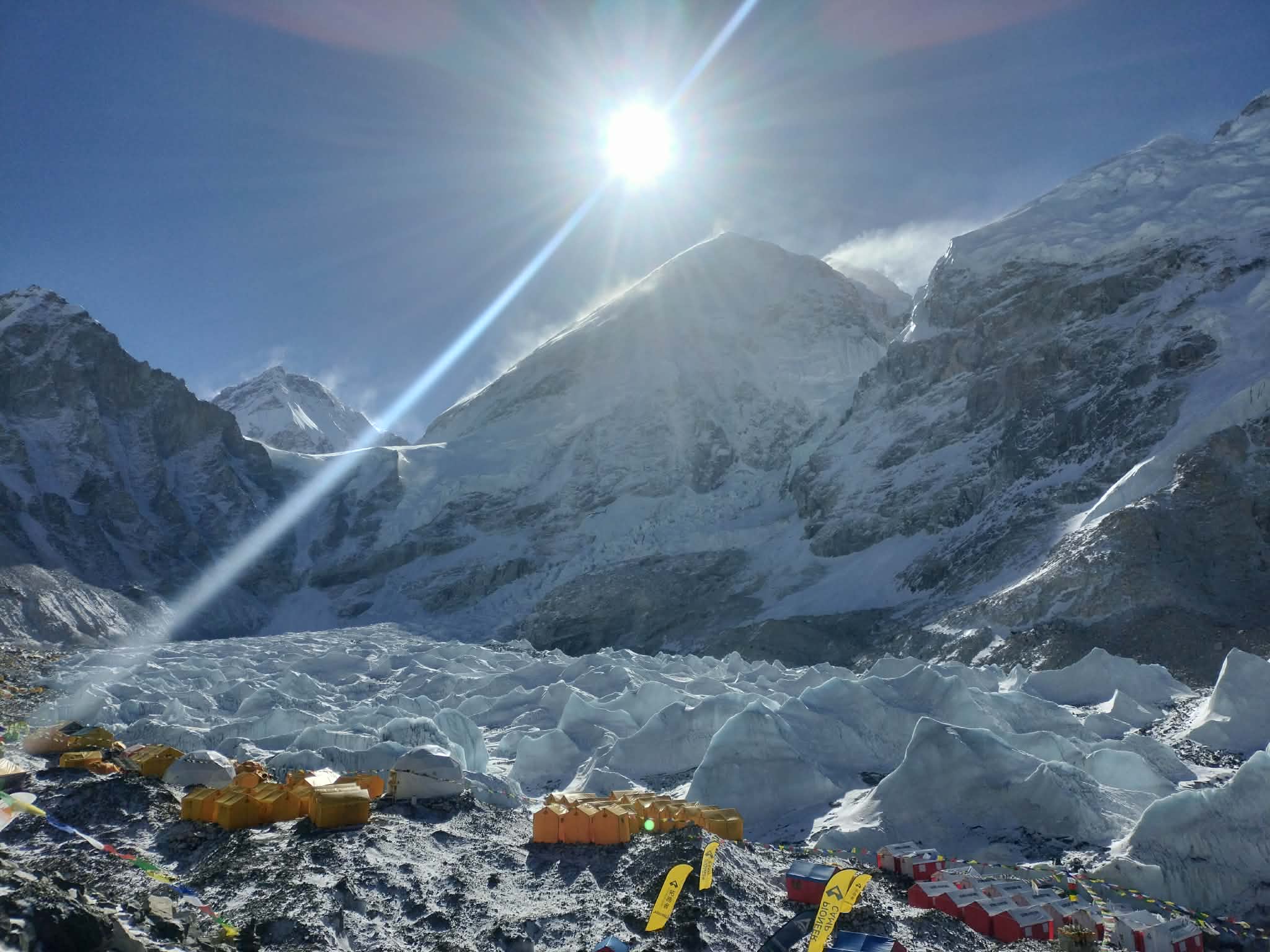
The altitude numbers are what set it apart. Lukla airstrip sits at about 2,850 m; Namche Bazaar at about 3,440 m, and Dingboche at about 4,410 m. Everest Base Camp is at 5,364 m, and many trekkers also climb Kala Patthar, at around 5,545 m, for the classic view of Everest. Annapurna Base Camp, in the Annapurna Sanctuary, sits at about 4,130 m.
So the daily distances and climbs will feel familiar to a regular British hillwalker. The difference is that you do them for 10 to 12 days in a row, at heights where every step takes more effort.
A 10-week UK training plan
This plan assumes you already walk regularly and can manage a 15 km day on hilly ground. If you’re starting from a lower base, stretch it to 12 weeks by repeating weeks 3 and 4.
Midweek, aim for two or three sessions of 45 to 60 minutes: brisk walking on hills or stairs, cycling, or a stepper. Strength work for your legs and core (squats, lunges, step-ups) will pay off on the long descents.
| Week | Weekend walk | Distance / ascent | Focus |
| 1 | Local hill walk (use OS Maps to find something suitable) | 12 to 15km | Build time on your feet with a 5 kg daypack |
| 2 | Kinder Scout from Edale, up Grindsbrook and down Jacob’s Ladder (Peak District) | about 14.5km | Rough paths, boulders and a steep stepped descent |
| 3 | Brecon Beacons Horseshoe from Taf Fechan: Corn Du, Pen y Fan and Cribyn (Bannau Brycheiniog) | About 13.8 km / 640 m | Sustained ridge walking, 6 kg pack |
| 4 | Back-to-back: repeat week 2 or 3 on Saturday, plus a 12 km hilly walk on Sunday | 25 km+ over two days | Your first two-day block |
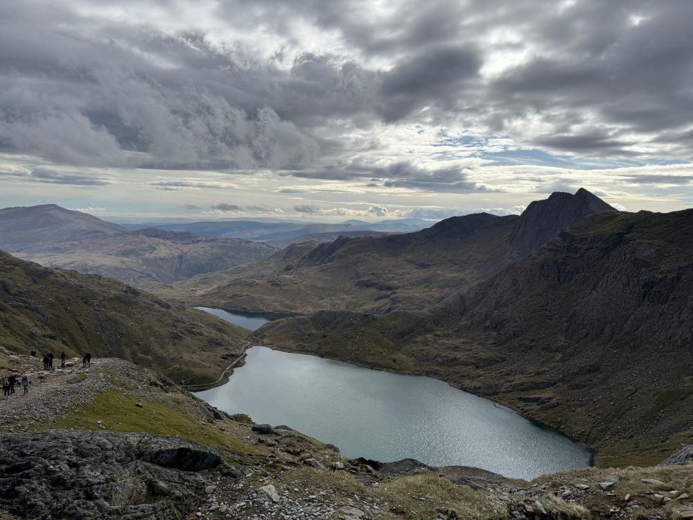
| 5 | Yr Wyddfa by the Pyg Track (Eryri) | 11.8km / 814m | Steep, rocky ascent at a steady pace |
| 6 | Back-to-back in Eryri: Watkin Path on Saturday, Miners’ Track on Sunday | 12.6 km / 1,050 m, then 13.5 km / 810 m | Big ascent on tired legs |
| 7 | Scafell Pike from Wasdale Head (Lake District) | Roughly 8 to 10 km / 900 to 1,000 m | Steep, loose ground, 7 kg pack |
| 8 | Ben Nevis by the Mountain Path (Scottish Highlands) | 17 km / 1,352 m, 7 to 9 hours | Your longest, hardest day |
| 9 | Three days in a row: Yr Wyddfa by the Llanberis Path, Snowdon Ranger Path and Rhyd-Ddu Path | 14.8 km / 987 m, 12.7 km / 966 m, 13 km / 1,050 m | Final multi-day endurance test |
| 10 | Two easy, shorter walks (use OS Maps to find something suitable) | 8 to 10km | Taper. Arrive fresh, not exhausted |
Route figures are approximate and sourced from OS Maps Discover’s guide to Yr Wyddfa, along with Walkhighlands, Walking Britain, and other route guides.
Always plan your own line and check it against the map. Swap in any route of a similar size near you, and don’t attempt the big mountain days in winter conditions unless you have the skills and kit for it.
Back-to-back days and a loaded pack
The most useful thing you can do in training is walk two or three big days in a row. One hard day on Yr Wyddfa tells you that you can climb a mountain. Three days on the trot tell you how your legs, feet and mood cope when you wake up stiff and have to go again.
That’s the real test of a teahouse trek.
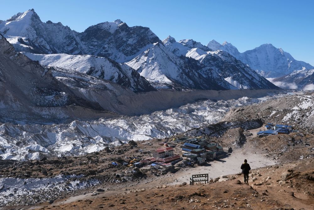
On most organised treks, porters or pack animals carry your main bag, and you carry a daypack with water, layers, snacks and a few essentials.
Train with a little more than you expect to carry, building up to 7 or 8 kg by weeks 6 to 9. Use the actual daypack you’ll take, packed as you’ll pack it in Nepal.
Practise descending too. The long downhill days, such as the drop back from Namche Bazaar, are hard on knees. Jacob’s Ladder, the Watkin Path and the Wasdale descent from Scafell Pike are all good rehearsals. If you plan to use trekking poles, use them here.
Plan your training walks with OS Maps
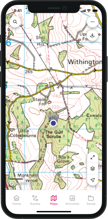
Use the British hills to rehearse the planning side of a trek as well as the walking. In OS Maps, you can plot a route by adding waypoints and see its distance, estimated time and elevation stats before you leave home.
Comparing those figures with your Himalayan itinerary is a good reality check. If a 1,000 m day in the Lake District took you seven hours, you’ll understand why a 1,000 m day at altitude will feel much slower.
The 3D fly-through shows you the shape of a route before you walk it. Downloading maps for offline use is a good habit to build now. Carry a paper map and compass too, and know how to use them.
Keep a simple training log: route, distance, ascent, time, pack weight and how you felt the next day. By week 9, you’ll have clear evidence of your fitness, and some confidence to go with it.
What British hills can’t prepare you for
Altitude. No British mountain is high enough to train you for it. Ben Nevis is 1,345 m, and the NHS says altitude sickness usually starts above 2,500 m. Being fit doesn’t protect you. Symptoms include headache, nausea, dizziness, tiredness and trouble sleeping.
The NHS advises that above 3,000 m you shouldn’t sleep more than 500 m higher than the night before, and you should take a rest day at the same height every three to four days. Drink enough water and avoid alcohol.
If you get symptoms, don’t go any higher. If they get worse or don’t improve after a day, go down.
Confusion, breathlessness at rest, or a cough with frothy or bloody sputum are emergencies that need immediate descent and medical help. Choose an itinerary with proper acclimatisation days, such as rest days at Namche Bazaar and Dingboche on the Everest route.
See your GP or a travel clinic before you go, especially if you’ve had altitude sickness before.
Cold nights. You’ll walk in sunshine, but nights in high teahouses are very cold, and rooms are usually unheated. Your sleeping bag matters as much as your boots.
Teahouse life. Rooms are simple twin rooms, often with thin walls and shared toilets. Higher up, showers may be basic or cost extra. Life revolves around the warm dining room and its stove. Being comfortable with this is part of being prepared.
Food and hygiene. Dal bhat (rice, lentils and vegetables) is the trekking staple and great fuel. Stomach bugs are one of the most common reasons treks go wrong. Use hand sanitiser, treat your drinking water, and favour freshly cooked hot food. Training can’t help here, but good habits can.
The UK government’s travel advice for Nepal also says you shouldn’t trek alone. It recommends insurance that covers mountain rescue and helicopter costs, and it notes that permits and rules apply in the main trekking regions.
Check the latest advice before you book.
Kit to test in British conditions
Use your training to make sure no new kit appears for the first time in Nepal.
- Boots. Break them in over all of your big training days. If they rub on the Watkin Path descent, they’ll rub on the way down from Base Camp.
- Socks and blister care. Find out what works over back-to-back days, not single walks.
- Layers. Test a base layer, a fleece or light insulated jacket, and a warm down or synthetic jacket for evenings. Late autumn or early spring in the Scottish Highlands is a good test.
- Waterproofs. Our weather will find any weakness.
- Daypack. Check how it fits and carries with 7 to 8 kg over a full day.
- Poles, headtorch, water bottles and filter. Use them until they feel normal.
- Sleeping bag. If you can, spend a cold night out camping, or in a bothy, to see how warm your bag really is.
Quick FAQ
How fit do I need to be for Everest Base Camp? You should be able to walk five to seven hours a day on hilly, rough ground, several days in a row. If you can comfortably complete Weeks 8 and 9 of this plan, you’re in a good place.
Is a first Himalayan trek harder than the Three Peaks? It’s a different challenge. Each day is usually steadier, but you repeat it for over a week and do it at altitude. Altitude is the part you can’t train for in the UK.
Can I train only in the gym? Gym work helps, but nothing replaces long days on real hills with a pack, especially on descents.
For more on choosing and preparing for your first trek, read our guide to trekking for beginners.
The details about teahouses and pack weights serve as general trekking advice rather than precise figures.
By Govind Rai
Govind Rai founded Get Lost Forever to help travellers plan bigger adventures with confidence. The site offers honest, practical guides to trekking, destinations and outdoor activities, from first multi-day walks to the high trails of the Himalayas.
If you would like to write a Guest Post for OS Maps Discover find out how here – write for us