Did you know May is National Walking Month?
This is the perfect time to log off, lace up and reconnect with the outdoors. Ditch the endless scrolling for real views and fresh air. Here’s a little inspiration for planning an adventure in May. Why not tick off one or two County Tops, every county has one so there’s no excuse not to find yours.
A County Top, not unsurprisingly is the highest point in any given county. We’ve chosen 8 routes below for County Tops in the biggest counties across England, Wales and Scotland (by land area).
If you’re interested in the County Tops Challenge you can read more about it here – County Tops Challenge.
Whernside – The Highest Point in North Yorkshire
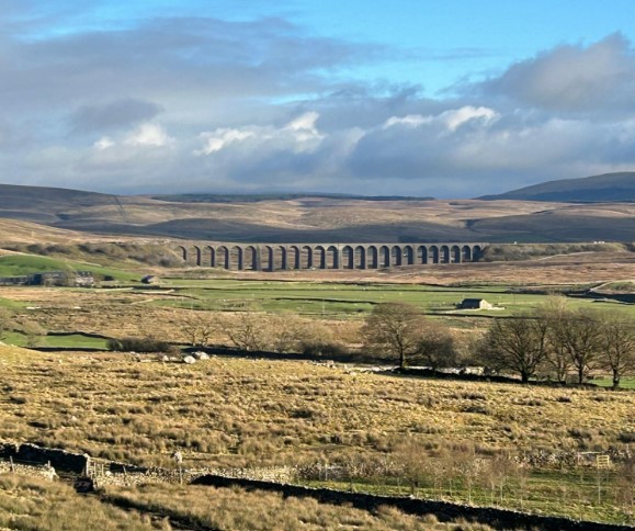
North Yorkshire is both England and the UK’s largest county. The highest point is Whernside at 736m. We’ve got a beautiful circular route on OS Maps
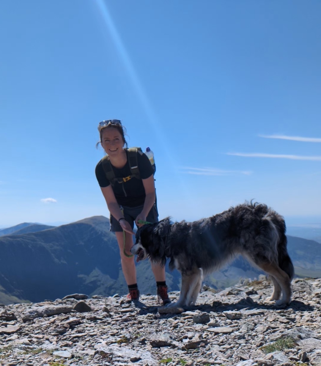
Ben Nevis – The Highest Point in Inverness-shire
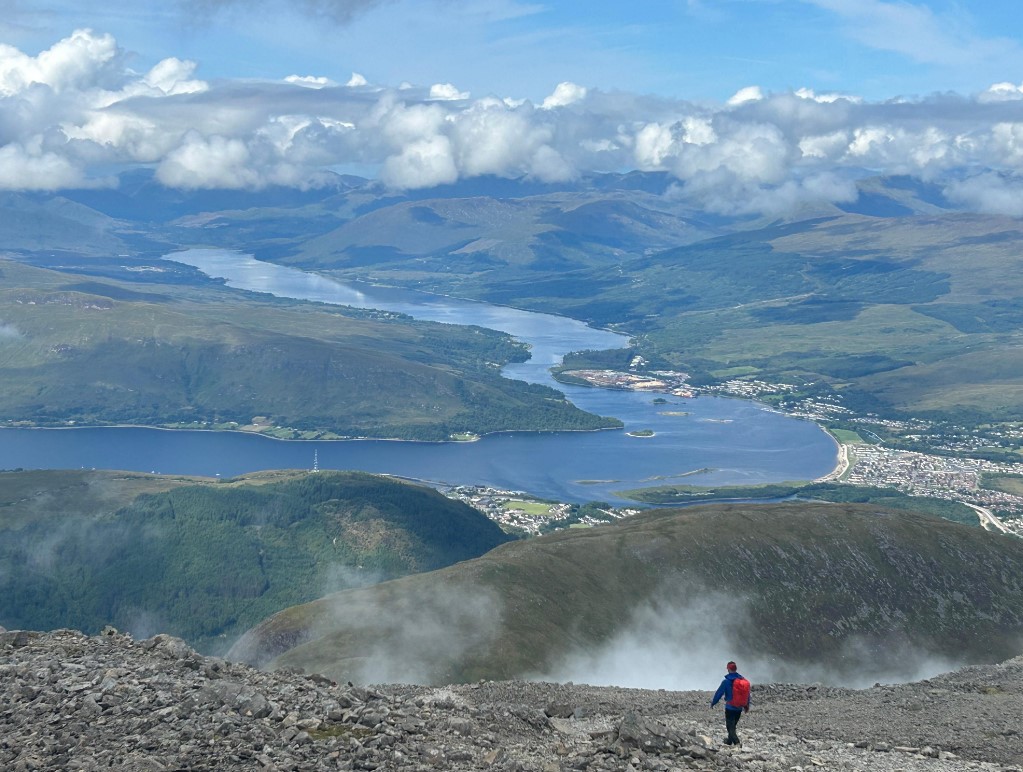
Ben Nevis is the highest mountain the UK at 1345m and it’s also in the largest county in Scotland, Inverness-shire.
This route starts at the visitor centre in Glen Nevis and ascending via the Mountain Track, this is the classic walkers’ route up Britain’s highest mountain.
Pen y Fan the highest point in Powys
Take in the best of all the Brecon Beacons have to offer in one go with this beautiful horseshoe walk. Pen Y Fan is the tallest point in Powys which is the largest County in Wales.
Yr Wyddfa – The Highest Point in Gwynedd
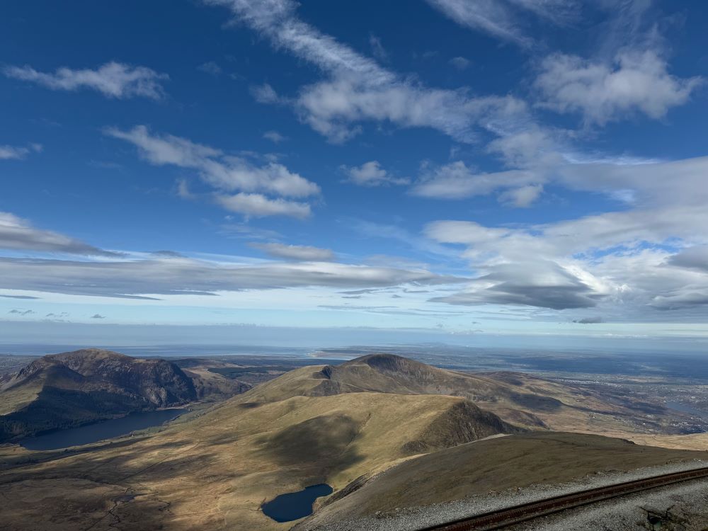
Yr Wyddfa, or Snowdon is the highest point in Wales. It’s also the highest point in Gwynedd which is the 2nd largest county in Wales. We’ve shared one of the most classic routes up. This is a big mountain over 3000ft so despite its popularity it needs to be taken on with some care. We have a guide to all of the different routes you can try which makes for a hiking challenge of it’s own – Snowdon Routes.
Normanby le Wold Top – The Highest Point in Lincolnshire
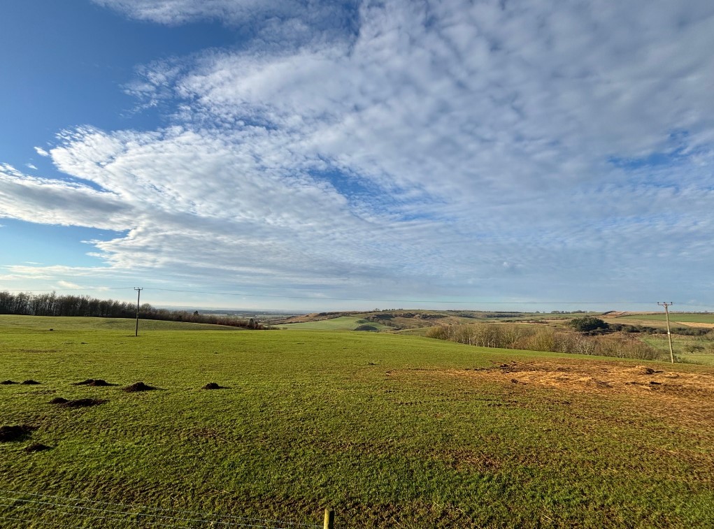
Lincolnshire is the second biggest county in England and a great deal flatter than North Yorkshire, the biggest county! The highest point sits at just 168m in the village of Normanby le Wold. We’ve found a lovely walk to try – I wonder how many people even realise they’re at the highest point in lincolnshire here.
Carn Eige – The Highest Point in Ross and Cromarty
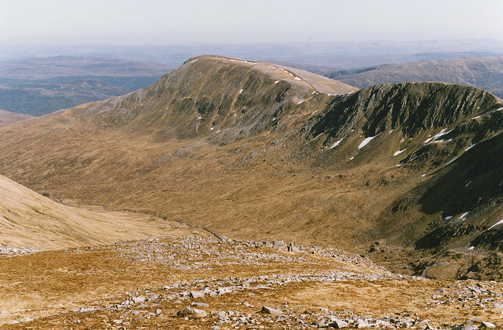
At 1183m high, Carn Eige is a remote mountain in the 2nd largest county of Scotland. This route is rated severe at a distance of just under 21km with a great deal of elevation. This one is best saved for those of you with exceptional navigation skills.
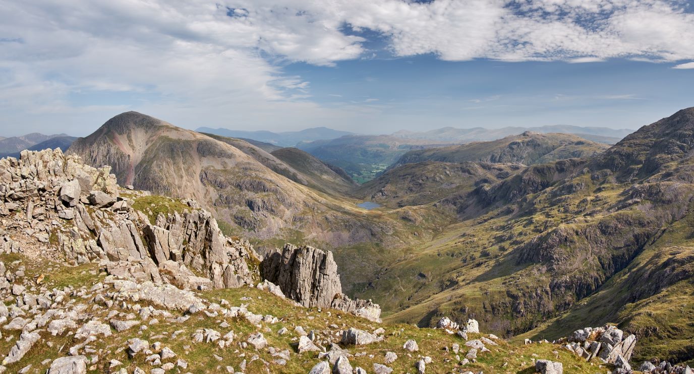
Scafell Pike – The Highest Point in Cumbria
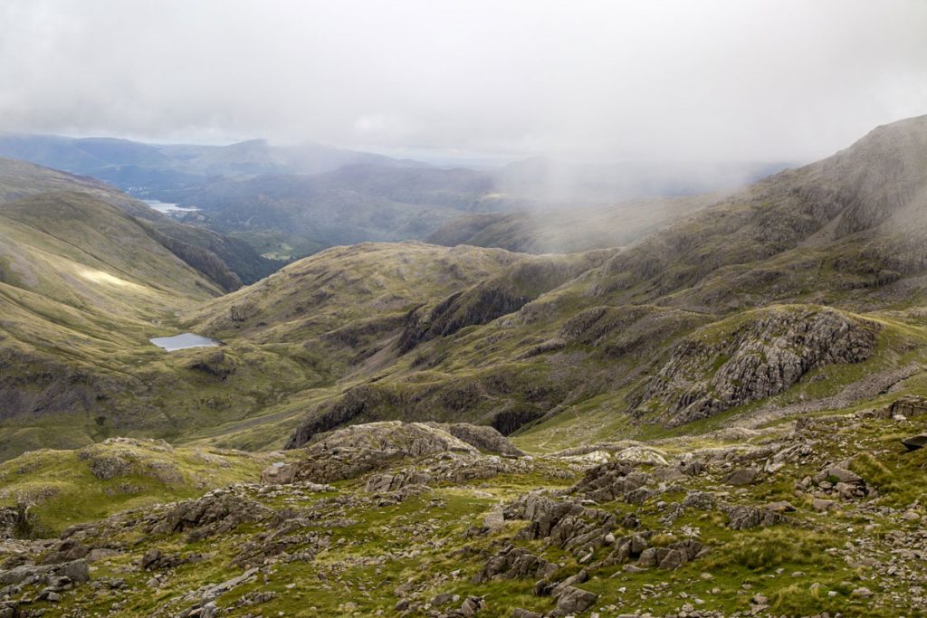
Cumbria is the 3rd biggest County in England but it has the largest of all the summits in the country. At 978m Scafell Pike makes for a fantastic day out hiking. It’s not easy though, so make sure you have the route downloaded and the right gear. Use our 3D flythrough mode for a better view of the route.
The Cheviot Highest Point in Northumberland
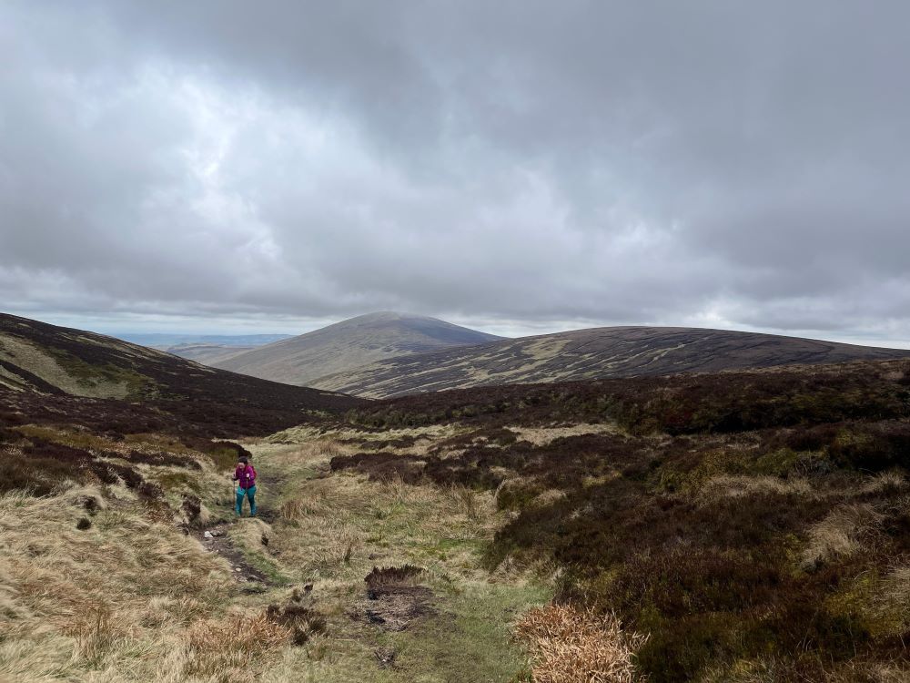
The Cheviot is the highest point in Northumberland which is the 6th Largest County in England.
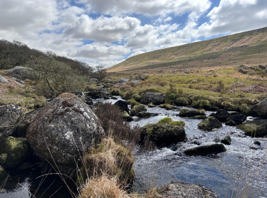
High Willhays – The Highest Point in Devon
Devon is the 4th largest county in England and it’s highest point is High Whillays at 621m. This route takes you over some typical Devon walking terrain with bogs and rivers all to be planned for in advance.
If you’re looking for the highest point in your own county why not take a look in our County Tops table which has every counties highest point listed in order of height for you. Let us now if you’ll be challenging yourself to bag a few of these high points.
By Hilary Pullen
Meet Hilary, Editor of OS Maps Discover. Hilary is based in North Wales and loves hiking with her dogs in the mountains of Eryri and Bryniau Clwyd, you can find her on Instagram @nearlyuphill and read her guides to walking in North Wales.
If you would like to be a featured OS Author and write an article or route guide find out more here – how to submit an article idea