
At Ordnance Survey we’re passionate about helping make outdoor activity enjoyable, accessible, safe – and as sustainable as possible.
We know this is a huge task. But we’re working hard to make positive change in a number of ways.
Our products have impacts
Inevitably, Ordnance Survey’s products impact the environment. Those impacts include the materials we use, the products we create, the way goods are transported, the data centres our app and websites rely on, and the phones and computers you use to access them.
Then there are the ways people use our products and platforms to be active outdoors. Transport, erosion and the effect on local communities – all impact our environment.

The outdoors for physical and mental health
Yet research also indicates visiting green and natural spaces has crucial physical and mental health benefits.
Natural England’s People and Nature Survey (2025; section 8) found that of adults who visited such spaces in the previous two weeks:
- 91% said spending time outdoors was good for their physical health
- 90% said spending time outdoors was good for their mental health
Safety
Our maps and app also perform vital safety functions. Our customers use them to plan appropriate routes, to navigate back to safety and to know exactly where they are. Rescue teams use them to find people at risk and help them home.
OS – the bigger picture
As an organisation, Ordnance Survey aims for net zero emissions by 2050. Our actions include a series of cleaner energy and transport initiatives, as well as a focus on more sustainable supply chains. Click here for more information.
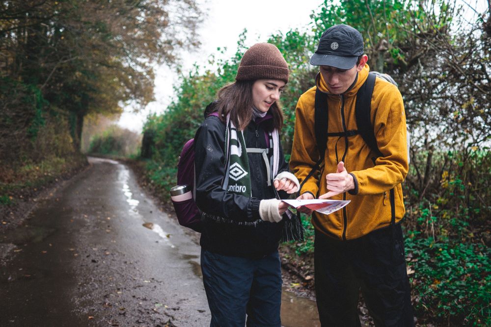
OS – our printed maps, app, website & books
We know we need to help people meet their vital safety and health needs and yet minimise the environmental impact our products and platforms have. We know we have a long way to go and are committed to progressing further.
These are the steps we’ve taken so far.
Ordnance Survey’s printed maps
It is our ambition to
- Produce a range of 100% recyclable Explorer and Landranger maps We’ll continue working towards products that are both durable and 100% recyclable. So far, we’ve produced two 100% recyclable map prototypes. We’re testing these prototypes for feasibility and durability, with future product development in mind.
Reduce supply chain emissions We’ve started calculating supply chain emissions for the companies that supply goods and services for Ordnance Survey’s printed products, website and app: OS Maps. Initially we’ve focused on data collection and formulating accurate processes. The next phases will be working with suppliers and monitoring emissions year on year.
| Spend year 2022-23 | Spend year 2024-25 | |
| Total spend (£) | 19,322,101.45 | 13,979,372.19 |
| Total spend (£’m) | 19.32 | 13.98 |
| Total emissions (tCO2e) | 591.48 | 690.60 |
| Emissions/£m | 30.61 | 49.40 |
Notes
- The Reporting year lags the Spend year by one year. We use Spend data from the previous year, due to the nature of supply chain data collection
- We’re comparing the closest two sets of complete data – OS can’t use 2023-2024 Spend year as it changed purchasing systems part way through and the data isn’t complete
- Some suppliers will also provide more or fewer services across Ordnance Survey as a whole, so inevitably in different years some emissions may go up or down – it won’t always directly reflect a specific spend by the part of Ordnance Survey that makes printed maps, books and the OS Maps app
In terms of our printed maps, we’ve also produced initial benchmark supply chain emission figures on the carbon footprint per map of each of our printed map types, which are produced by Dennis Maps. These figures relate to the materials used for each map type, the length of time machines run during production, and a calculation of the kWh usage for each of the machine processes used. The data does not, however, include the transport of materials to and from Dennis Maps. The figures will allow us to monitor data and work with Dennis Maps to reduce emissions in relation to materials, power and waste.
- Source the paper in our products from responsibly managed forests Our printed maps, both paper (standard) and Active (weatherproof), and our guidebooks are already printed on paper accredited by the Forest Stewardship Council (FSC). It carries the FSC MIX label. This means the forest-based materials come from FSC-certified forests, recycled materials, or FSC-controlled wood. FSC-controlled wood isn’t certified wood, but it mitigates the risk of forest products coming from illegal logging or areas that have been harvested in violation of traditional and civil rights.
Durable, printed maps
Our printed maps are multi-use products that customers use over many years, even decades. Printed maps are vital for people’s safety when exploring the outdoors – when being active in natural and wild places we need back-up products that aren’t reliant on batteries and signals. It’s also vital these printed maps are robust enough to be used in challenging weather.
From what we’ve reviewed so far, the approaches to creating a viable range of robust, water‑resistant, printed maps tend to use plastic, but we’re keen to investigate any other possibilities
While we strive to produce physical maps that are as sustainable as possible, we do also need to balance that with producing a range of viable, water-resistant maps that can withstand challenging weather. Currently, as far as we’re aware, that involves using plastic.
Environmentally aware adventures
From Leave No Trace and plastic-free hiking, to finding local wetlands to explore – Ordnance Survey’s web pages are full of environmental-related inspiration, facts and tips.

Plastic-Free Hiking: How to Avoid Single-Use Plastic on Your Next Adventure
Will you go plastic free on your next hike? Learn the importance of Plastic-Free Hiking and find tips on avoiding single-use plastics.

UK Wetlands to Explore
Discover what makes World Wetlands Day significant. Learn about ecosystems and find local wetlands to explore nearby.
What Does Leave No Trace Mean?
Do you know what LEAVE NO TRACE really means? Tread gently, move quietly, respect peacefully… but what does is mean in practice
Ordnance Survey’s environmental and sustainability policies and processes
Ordnance Survey’s printed and digital products carry the same mapping data that keeps Britain moving; powering transport, guiding rescue teams, shaping environmental projects. It reflects centuries of heritage – accurate, trusted and still alive in the way we connect today.
As Great Britain’s national mapping service, we aim to help protect the environment and prevent pollution by continually improving our products, our internal processes and our supply chain management.
- Measures Discover the measure OS has in place to make a positive impact on environmental sustainability here.
- Policy Learn how OS works to protect environments through products, processes and supply chains here.
If you’d like to speak to us about our commitment to reducing environmental impact across all of our products please get in touch.