Why Britain Still Loves Ordnance Survey: 100 Voices from 235 Years of Mapping
By Hilary Pullen
Published on
5 min read
As Will Millard discovered while exploring the Ordnance Survey archives for Mapping Britain, the story of OS is really a story about people.
For 235 years, Ordnance Survey has mapped Great Britain through extraordinary change. From the first surveys of the late eighteenth century to today’s digital mapping, the organisation has helped generations understand the landscapes around them.
But why do those maps still matter today? To find out, we asked people a simple question:
What do you love about Ordnance Survey?
The answers revealed something surprising. While technology has changed dramatically, many of the reasons people value OS today are the same reasons generations before them relied on its maps. They help us understand Britain’s landscape, explore with confidence and connect with the places that matter most.
They talked about adventures, family memories, confidence, discovery and the freedom to explore.
“I love my Ordnance Survey map, It keeps adventure on my lap. It’s shown me shortcuts, tracks, and ways, Through hidden woods and golden days.
To places I might never roam, It’s led my wandering family home. When I’ve gone wrong, it’s put me right, Back on the path in fading light.
It helps me plan each walk we do, With hills to climb and views brand new. The best adventures, wild and free, Begin with OS, my map and me.” Thomas Aris – OS Maps Fan
More than 100 responses (including a beautiful poem) painted a picture of why OS remains such a valued part of life in Britain today. While every story was different, common themes emerged again and again. Together, they reveal something bigger than cartography. They show how maps help people connect with places, understand landscapes and create memories that last a lifetime.
“Because it connects me with places and people, past, present and future❤️”
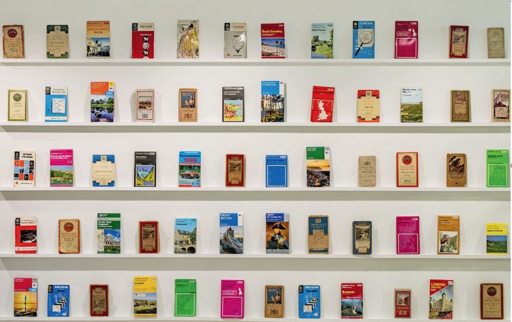
Ordnance Survey Maps over the years on a shelf at our Head Quarters in Southampton
Confidence to explore
If one theme appeared more than any other, it was confidence. For many people, an OS map represents the reassurance that they can explore somewhere new, navigate safely and enjoy the outdoors with greater independence.
“I always feel confident following an OS map/ route.”
“The freedom the maps give me to walk with confidence on my own in any part of the country.”
“Love the reassurance that, when I’m mostly walking alone, I’m walking in the right direction and I’m on the right path.”
“Exploring safely and having new adventures”
“The ability to explore places that you don’t know. With the confidence that you can navigate your way safely.”
That confidence enables everything else. A walk you’ve never done before. A distant summit. A hidden footpath. A new corner of Britain waiting to be discovered.
Adventure starts before you leave home
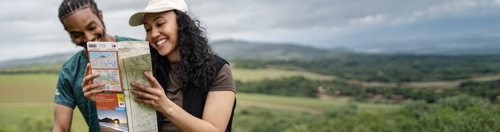
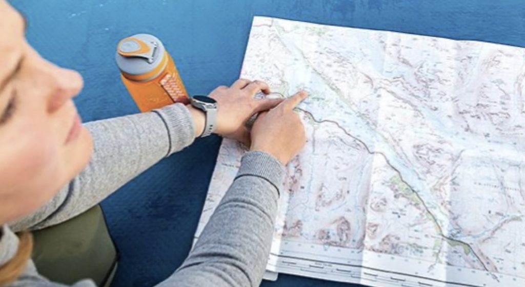
For many respondents, the adventure begins long before they lace up their boots. It starts with unfolding a map, tracing a route with a finger and imagining what lies beyond the next ridge, valley or stretch of coastline.
“I love the excitement of opening a new map to plan a route, or returning to a fold-cracked old favourite.”
“Adventure planning!”
“One of life’s pleasures is poring over the incredible detail in an OS map. The expoloration starts before you’ve even left the house!”
“The crinkle of unfolding a new map and looking at the adventures to come.”
One respondent summed it up perfectly:
“The best adventures, wild and free, Begin with OS, my map and me.”
Maps do more than guide us through landscapes. They spark curiosity and anticipation long before the journey begins.
Maps that connect generations
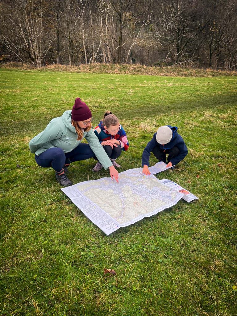
Some of the most memorable submissions centred on family. Parents teaching children to map read. Grandparents passing on a love of exploration. Shared adventures that have become lifelong memories.
“My dad brought me up reading maps from a young age.”
“My Grandad worked for OS, he showed me how to use maps and now I teach young people the same.”
“My mam also loved an OS map and I think of her often when I’m tracing out a route.”
It is this ability to reveal how Britain has changed that sits at the heart of Mapping Britain. Through the Ordnance Survey archives, Will Millard uncovers stories hidden within the maps themselves, showing how centuries of change have shaped the country we know today.
“I love the history baked into the maps OS make, seeing how this country has evolved over time…”
“For me, Ordnance Survey stands out from all other mapping systems… I also love the historical maps which tell us so much about the landscapes and urban development of our country for well over two centuries.”
“I love seeing the old maps from my childhood…”
“Tracing place names and their changes.”
Discovering hidden Britain
One of the joys of a detailed map is the ability to spot things that might otherwise go unnoticed. Ancient monuments. Forgotten paths. Unusual place names. Historic features hidden in plain sight.
Many respondents spoke about the pleasure of discovering parts of Britain they would never have found otherwise.
“I love finding the quirky names of landmarks and places.”
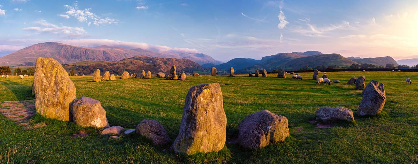
“I find OS maps fascinating and can pour over one for hours looking at all the prehistoric and ancient places.”
“It takes me to places I wouldn’t know about or think about going to.”
“Discovering things I didn’t know was there”
This ability to reveal the stories within a landscape is one reason people continue to return to OS maps, generation after generation.
A trusted guide
Technology changes rapidly, but trust takes much longer to build. Many responses highlighted the reliability and consistency that people associate with Ordnance Survey.
“You’re never lost with an OS map.”
“A product you can trust.”
“Safe, reliable and easily accessible.”
“Reliable & accurate mapping that is easy to use, no matter what I am looking for.”
“When you see OS you know it is a product you can trust.”
Another contributor described it as:
“A British National Treasure”
Whether planning a long-distance trail, navigating in poor weather or exploring somewhere completely new, people repeatedly returned to the same qualities: accuracy, consistency and dependability. Use our online guides to brush on your map reading and navigation skills.
For some people, the appeal of an OS map goes beyond navigation altogether. The colours, symbols, contours and detail create a unique way of seeing the landscape.
“Beautiful, clear and absorbing cartography”
“The beauty of the maps”
“Amazing how something so practical can be a work of art!”
“The colour, the detail and the accuracy of the maps is so incredible and so fascinating.”
“I love the quality and clarity of the mapping.”
For many, simply looking at a map is a pleasure in itself.
One contributor wrote:
“The ability to travel via imagination, building mental pictures of places and landscapes I’ve not yet seen.”
From paper to digital
One of the most interesting things about these responses is that people rarely talked about paper maps and digital mapping as opposing choices.
Instead, they valued having both.
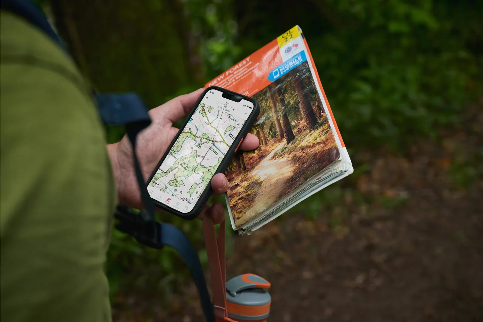
“Being able to have a hard copy and digital copy”
“The trusted clear and reliable detail that it is also accessible digitally.”
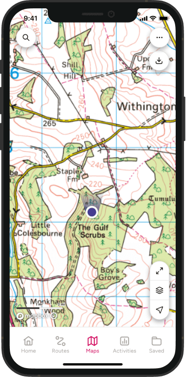
“The digital app meaning I can now have the same at my fingertips wherever i am”
“I love a tangible map and the app!”
“The OS mobile app is great for hiking and bike packing”
For some, nothing can replace unfolding a paper map across a table. For others, having trusted mapping on a phone has opened up new opportunities to explore. Together, they show how OS has evolved while staying true to its core purpose.
PLAN ROUTES FIND ADVENTURES
Discover ready-made routes nearby or create your own
Looking through more than 100 submissions, one thing became clear. People love Ordnance Survey for many different reasons, but those reasons all lead back to a common theme. OS helps people understand where they are, where they want to go and what they might discover along the way.
It helps people develop confidence outdoors. It helps families make memories. It reveals hidden stories within the landscape. It turns curiosity into adventure.
As one respondent wrote:
“Ordnance Survey has been alongside me through a lifetime of adventures.”
And perhaps that’s the real story of Ordnance Survey after 235 years. Not simply that it has mapped Britain, but that it has helped generations of people connect with Britain too.
“Because it connects me with places and people, past, present and future❤️”
Discover the Story Behind the Maps
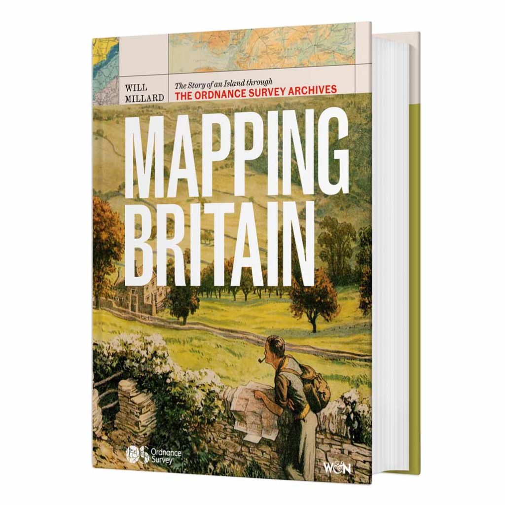
Mapping Britain: The Story of an Island through the Ordnance Survey Archives by Will Millard explores nearly three centuries of change through one of Britain’s most remarkable archives. Featuring historic maps, fascinating discoveries and untold stories from across the country, it offers a unique perspective on how Britain became the nation it is today.
EXPLORE THE
OS Shop
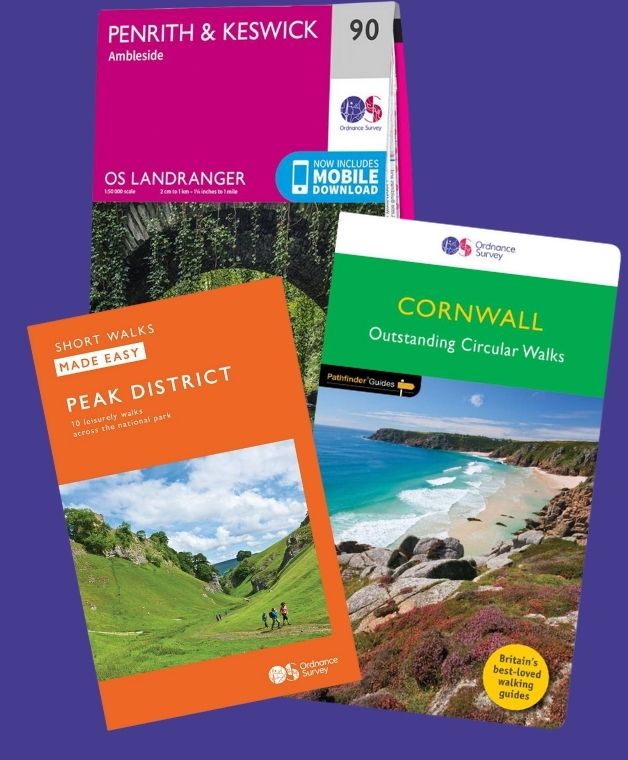
We are with you every step of the way. Shop our trusted walking and hiking maps and guidebooks so you can explore the outdoors with confidence.
Meet Hilary, Editor of OS Maps Discover. Hilary is based in North Wales and loves hiking with her dogs in the mountains of Eryri and Bryniau Clwyd, you can find her on Instagram @nearlyuphill and read her guides to walking in North Wales.
If you would like to be a featured OS Author and write an article or route guide find out more here – how to submit an article idea
Get more from the outdoors with OS Maps. Whether you’re planning a mountain hike, taking the kids for a woodland bike ride, or looking to discover a new local adventure, OS Maps helps you explore with more confidence.
Discover thousands of ready-made routes from outdoor experts; view & download maps directly to your phone, or print from your computer.
With trusted mapping, route planning tools & features, created by Ordnance Survey; OS Maps helps you make the most of your time outside.
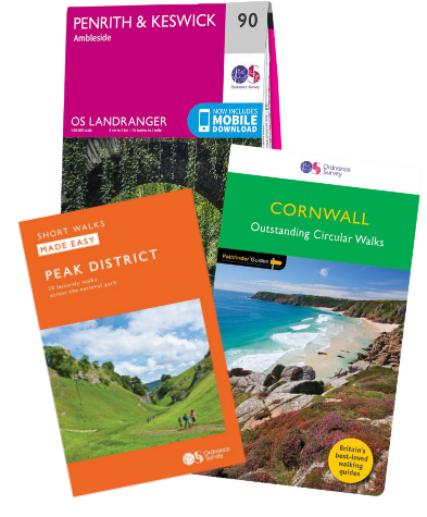
Ordnance Survey are the experts in mapping. Shop our selection of UK Maps for hiking, walking and your next outdoor adventure. Plus don’t miss our selection of essential walking guidebooks.
Whether you’re exploring the breathtaking landscapes of the UK’s National Parks or enjoying a serene coastal getaway, our paper maps are your indispensable travel companion.