When did you last stop to think about a map?
Not the destination, not the route but the map itself (paper or online) For most of us, mapping has become invisible. You open an app, follow an arrow, and arrive where you expect to be. It feels effortless.
But that ease in finding our way around by car or on foot is built on something much bigger.
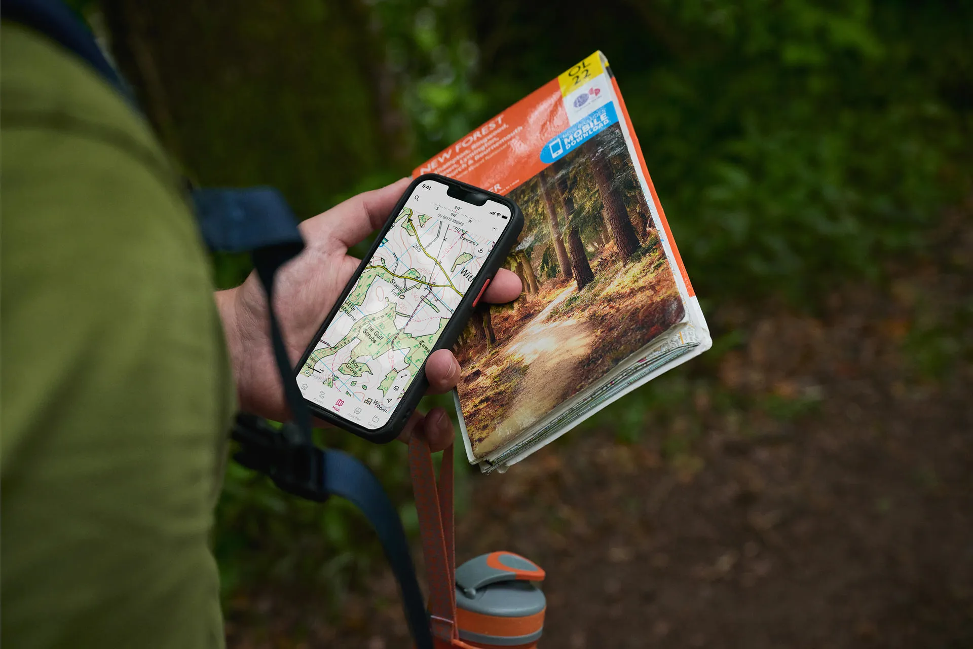
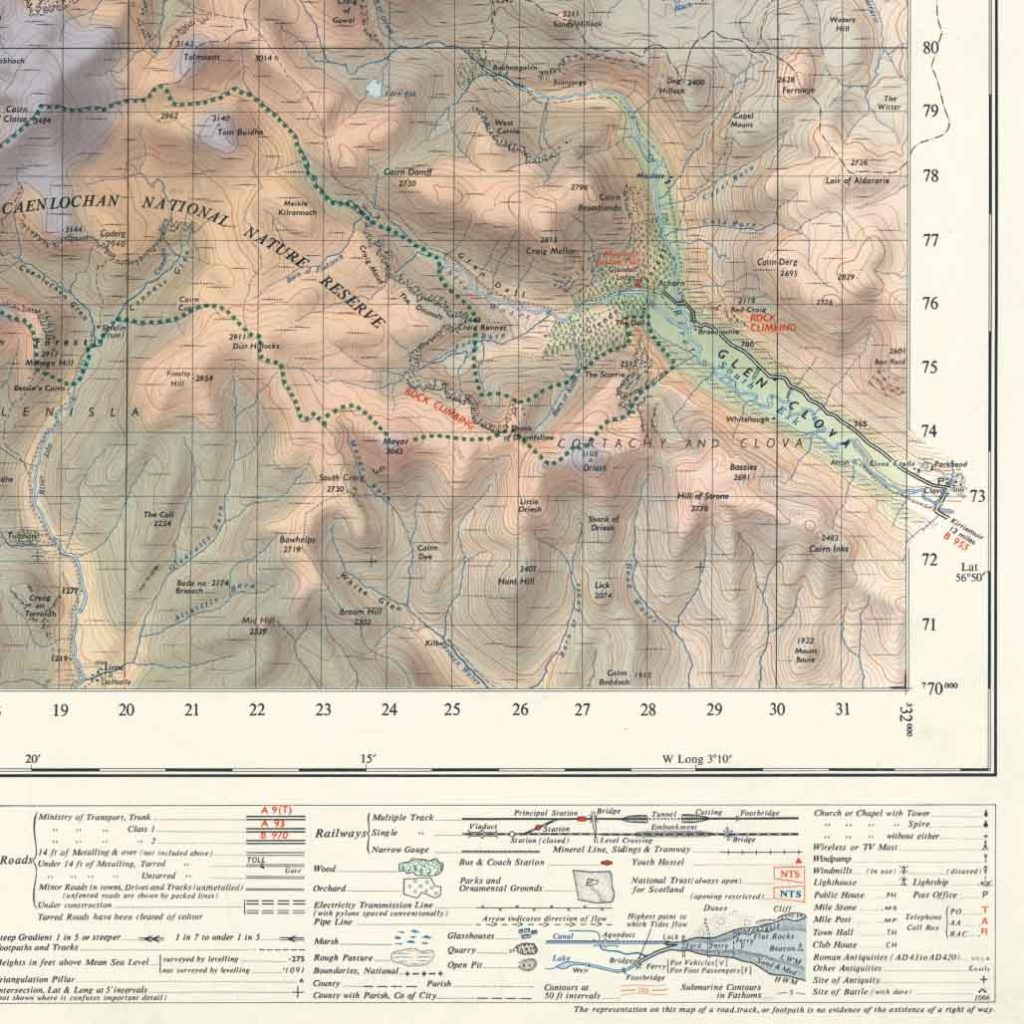
This year marks 235 years of Ordnance Survey. Behind every familiar map, including the various apps on your phone, sit more than two centuries of work to understand Britain in extraordinary detail. That work continues today, with over six million features updated 30,000 times a day, it’s the most detailed and data-rich digital map in history.
Ordnance Survey is not a relic of the past, but a living, evolving map that underpins thousands of everyday decisions and supports world‑leading innovation.
How did mapping go from remarkable to routine?
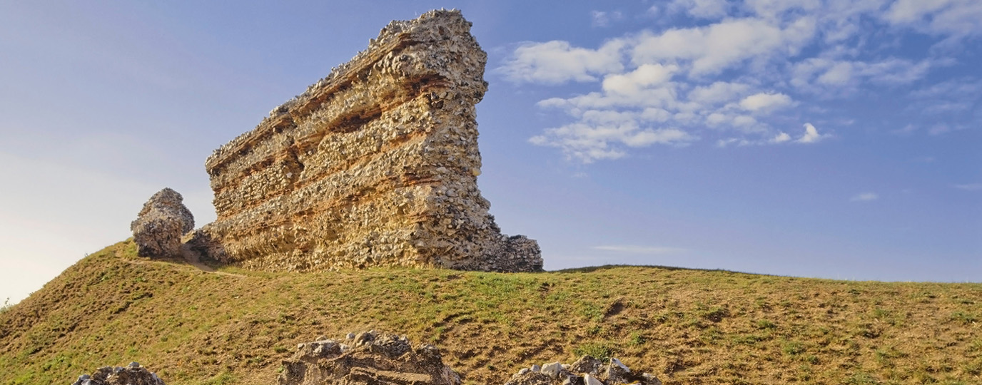
When Ordnance Survey began in 1791, Britain was not mapping for curiosity or leisure. It was mapping out of necessity. The country faced the threat of invasion from revolutionary France, and there was no single, accurate, large‑scale map of the land. Kent, closest to the continent and most vulnerable, became the first focus.
Early surveyors worked entirely on foot, hauling heavy instruments across hills, fields and commons. They measured distances by hand and used triangulation, fixing precise points across the landscape by sighting distant landmarks.
What did Ordnance Survey really create?
Over time, Ordnance Survey did more than produce maps. It created a shared way of understanding Britain. For the first time, the country could be measured consistently. Heights meant the same thing everywhere. Routes could be followed with confidence. Boundaries, paths and features could be agreed upon and trusted.
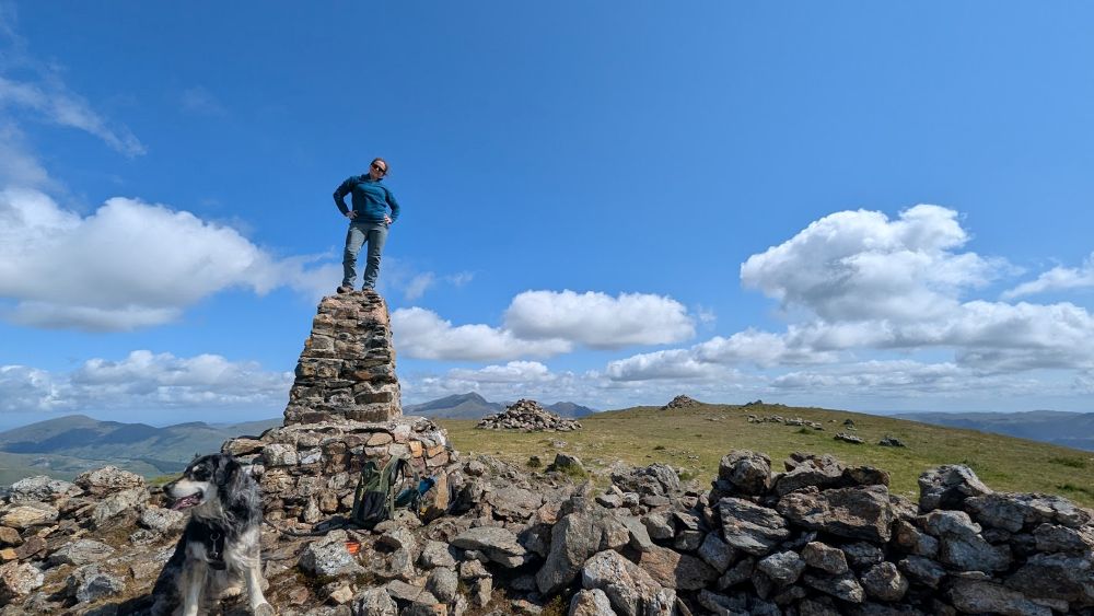
That work continued to evolve. National height systems were established. Trig pillars appeared in the 1930s, anchoring a refined survey of the country. Many of them still stand today, for mapping and hiking enthusiasts they have become symbols of adventure in reaching a hill or mountain summit and of course an opportunity for a picture (see our trig pic guide)
How Leisure Maps Helped Britain Discover the Outdoors
By the early 20th century, maps had moved beyond military use and professional surveying and into everyday life. They appeared on kitchen tables, in glove boxes and in rucksacks across Britain.
People had more free time. Paid holidays became normal. Car ownership increased and domestic tourism boomed. National parks were established and long‑distance paths began to take shape. Walking and cycling were no longer just practical ways of getting from one place to another. They became ways to explore, unwind and understand the landscape.
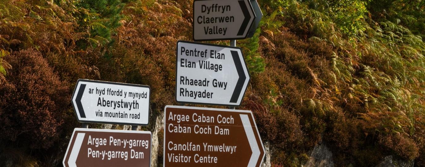
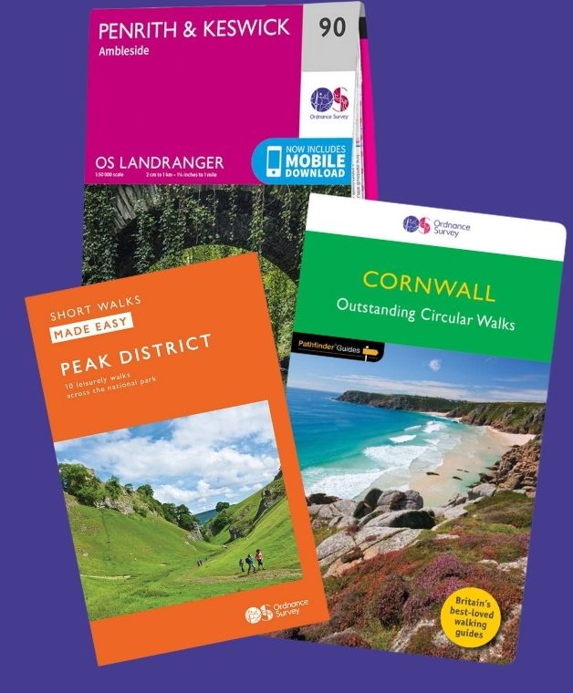
Ordnance Survey responded by producing detailed, accessible leisure maps that ordinary people could rely on. Once you learned how to read one, it felt like unlocking a code. A shared language of symbols and contours that made the countryside readable and gave people the confidence to explore, even in remote parts of Britain.
In doing so, Ordnance Survey leisure maps did more than reflect Britain’s growing love of walking and cycling. They helped create it, by making exploration feel possible, normal and safe. That same principle still underpins our work today. We are passionate about giving people the confidence to get outside more often and explore more safely.
Introducing The OS Archive Collection
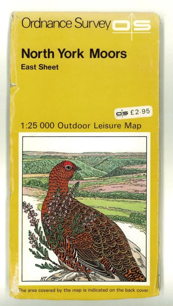
The OS Archive Collection is launching to celebrate our love of maps as a nation. These historic maps show real places at a specific moment in time. They allow you to compare past and present, and to see how the landscapes you know today have evolved.
The first maps featured in our archive map collection are all from that golden era of the 1960’s and 70’s when more and more people began to access our National Parks and spend their time exploring in nature.
For many people, Ordnance Survey maps are a reminder that mapping is not just about getting from one place to another. It is about understanding where you are, and how that place came to be.
Enter our 235th birthday competition
To celebrate 235 years of Ordnance Survey, we are giving away a selection of OS kit.
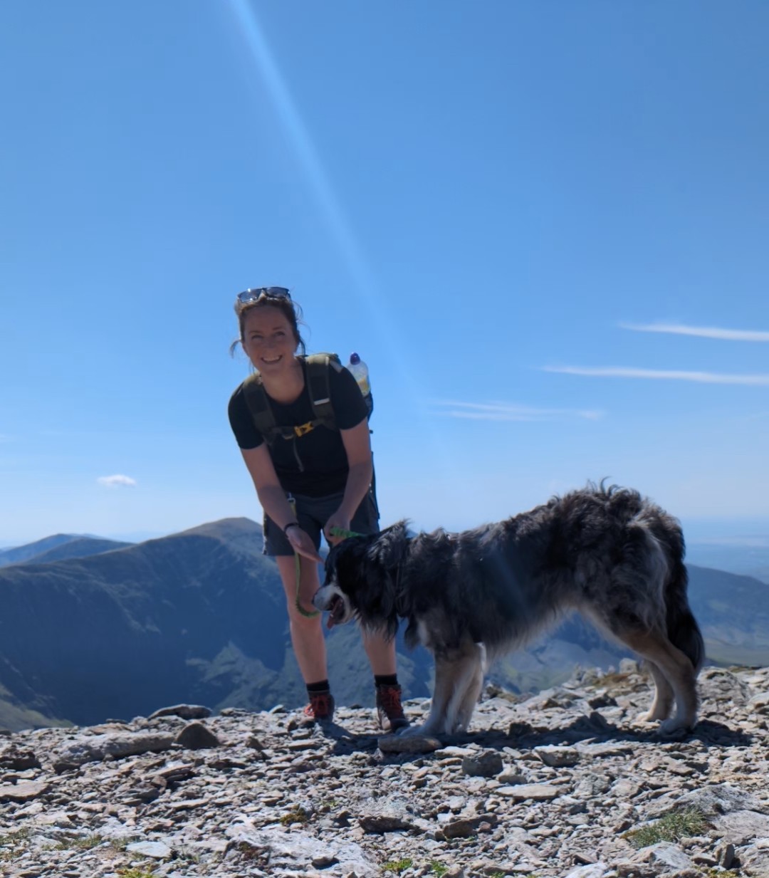
By Hilary Pullen
Meet Hilary, Editor of OS Maps Discover. Hilary is based in North Wales and loves hiking with her dogs in the mountains of Eryri and Bryniau Clwyd, you can find her on Instagram @nearlyuphill and read her guides to walking in North Wales.
If you would like to be a featured OS Author and write an article or route guide find out more here – how to submit an article idea