Will Millard Tells The Story of an Island Through the Ordnance Survey Archives
In Mapping Britain: The Story of an Island Through the Ordnance Survey Archives, writer, broadcaster and explorer Will Millard uncovers nearly 300 years of change through one of the nation’s most remarkable archives. From lost villages and smuggling routes to royal maps, wartime records and the growth of Britain’s transport networks, the book reveals how maps can tell the story of a country and the people who shaped it.
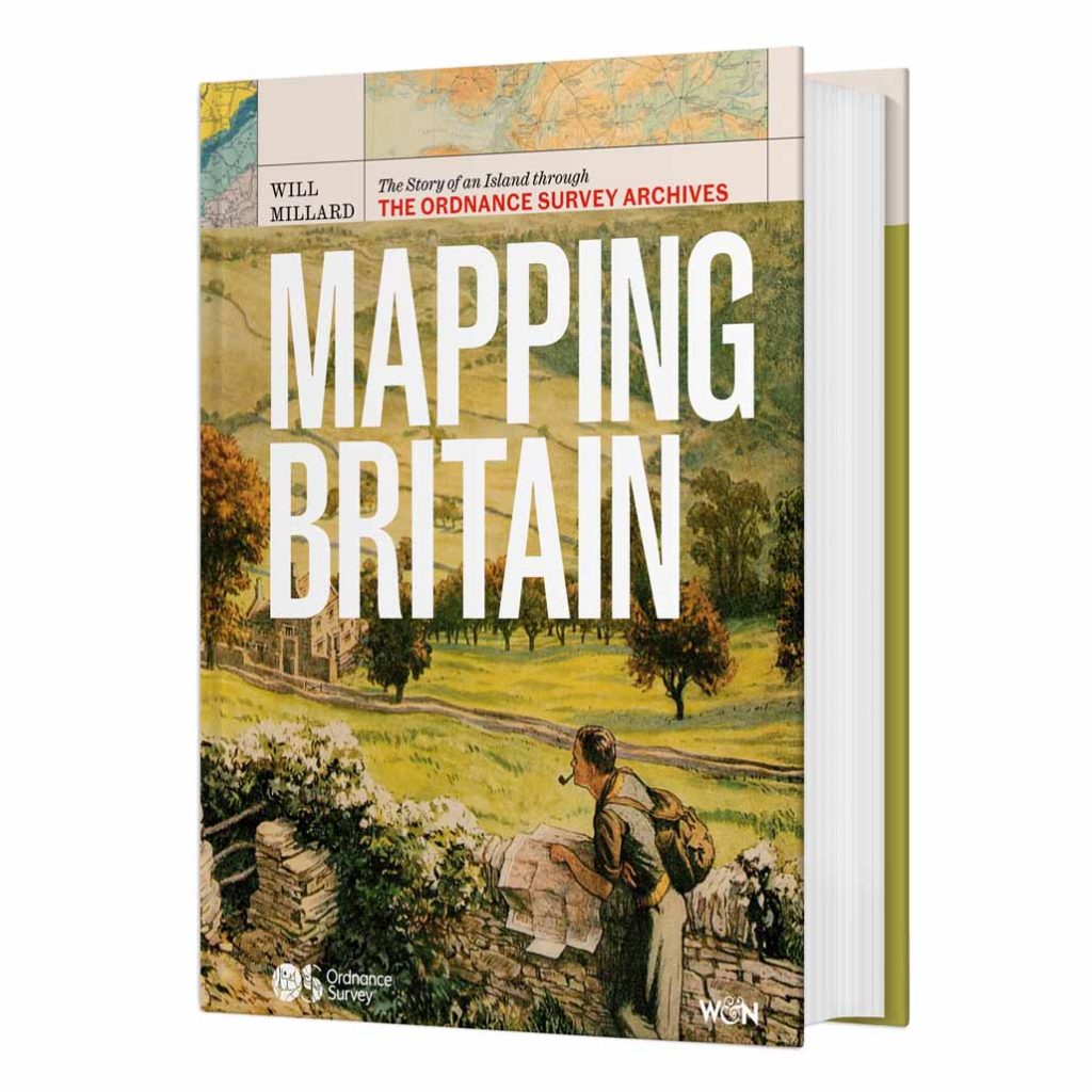
Drawing on treasures from the Ordnance Survey archive, Will brings to life the landscapes, communities and historic moments that have transformed Britain since the eighteenth century. It’s a fascinating read for anyone who loves maps, history, walking, local heritage or discovering the hidden stories behind familiar places.
We caught up with Will to talk about surprising discoveries, favourite archive items, and why looking at old maps can change the way we see the world around us.
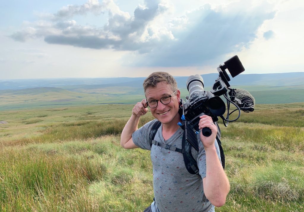
Mapping Britain: The Story of an Island Through the Ordnance Survey Archives
You’ve travelled to some of the most remote places on Earth. What surprised you most about exploring Britain’s history through the Ordnance Survey archive instead?
I’ve been so blessed in my life, but if I’d say anything on all my travelling, it is that we are all victims of neglecting the treasures to be found on our very own doorsteps.
The writing of Mapping Britain really opened my eyes to secretive smuggler’s routes, epic monks’ trods, sodden drover’s roads, and the spectacular pace of Industrial-era change, that existed within just a two-hour circle from my very own home in South Wales!
When you first gained access to the archive, was there a map or document that immediately made you think, “This has to be in the book”?
I mean, the first day Kris Mackenzie (the OS Product Manager for Books and now a great friend) mentioned that we might be able to access Queen Victoria’s Golden Jubilee Book I knew we were on to a real winner. Hand-made by the Ordnance Survey in 1887, this beautiful and deeply exclusive tome contains maps of all the royal households and is a real window into an extraordinary era of change.
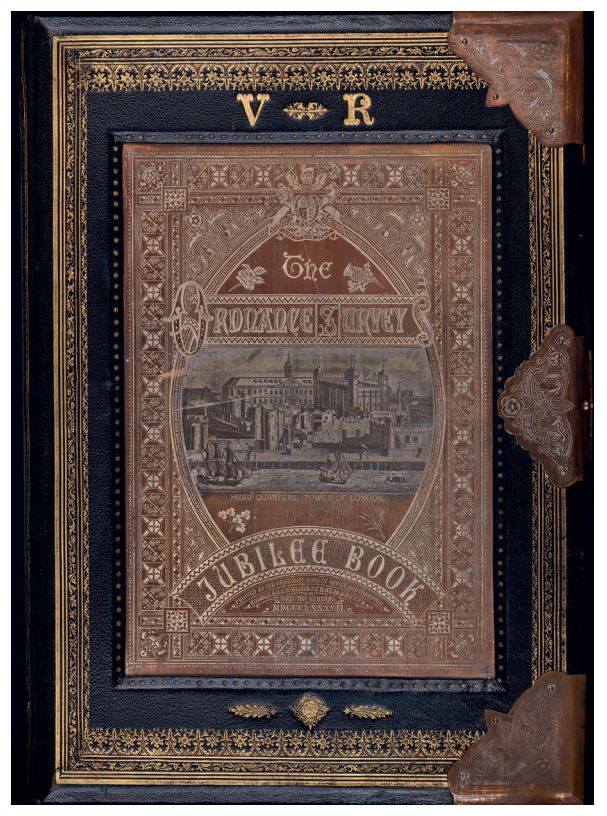
from 1837 to 1887 (to mirror Queen Victoria’s fifty-year reign at the
time).
The book uncovers everything from disappearing villages to secret military plans. Which discovery gave you the biggest sense of wonder?
I am fairly fanatical about all things outdoors, so I was always going to love the sections detailing the varied fortunes of our natural environment, but (and it is a big ‘but’!) I surprised myself at how fascinated I became at the evolution of British trails. Seeing footpaths turn into turnpikes, railways, canals, docks, A-roads, and eventually, even motorways, really gave me an insight into how travel and trade completely revolutionised society.
Using the OS archive over a window of just a couple of hundred years, you can see this transformation take place in ‘real time’ on the map sheet – utterly wondrous!
Many people see maps as practical tools. What did this project teach you about maps as records of people, stories and lives and was there a moment in the archive when a map stopped being a map and became a human story?
There are so many to choose from: the Highland Clearances that are clearly evident in Roy’s Military Survey from 1747-55, where so many communities simply disappear from the later maps of Scotland. Then there were the maps of British cities either side of ‘The Blitz’ during the Second World War, where the loss of buildings (and life) is evidenced by ghostly craters. Next, the Poverty Maps of London’s East End during the late 1800s, really brought home the sense of squalor and congestion endured by people living within those working class slums.
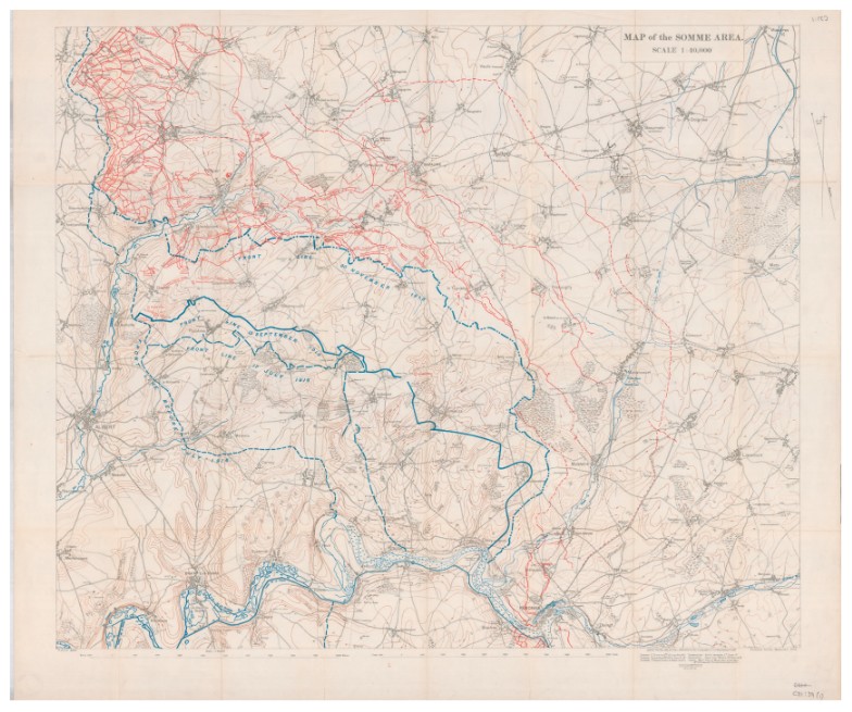
I’d say the most emotionally impactful though, were the trench maps I found of the Western Front during the First World War, and, in particular, the Somme. That map is a truly harrowing reminder of the First World War. The section I found was published just weeks after the infamous ‘Battle of the Somme’ closed – a 141 day offensive which saw more than one million men injured, captured, or killed, for an Allied ground gain that amounted to just seven miles.
On the Western Front the OS would ultimately map 6,000 square miles, but 67 OS staff members were also killed in the line of duty. That represented just over 1 in every 16 of the OS staff members who were sent to serve their country. Truly, a terrible loss to the organisation, which is commemorated in a poignant tribute found in the Memorial Garden at OS HQ in Southampton.
After spending so much time with nearly 300 years of mapping history, what do you think the OS archive reveals about Britain that other historical records can’t?
I’m such a huge fan of maps anyway, but this was the first time I’d really used them as a tool to understand our past.
Just being able to take accurate same-scale sheets through time is hugely advantageous – I could see the passage of towns to industrialised cities, contracting coastlines, receding forests, villages disappearing entirely beneath reservoirs and whole ‘new towns’ seemingly springing out of nowhere, particularly in the case of places like Milton Keynes, which was simply farmland in the 1896 OS ‘old series’ map of the area.
Conjoining all those fascinating map snapshots with written historical accounts really brought those stories to life in an entirely unique way.
What impressed you most about the surveyors and mapmakers who created these records long before modern technology existed?
image, taken from
The Ordnance Survey’s
Jubilee Book, published
and presented to Queen
Victoria in 1887.
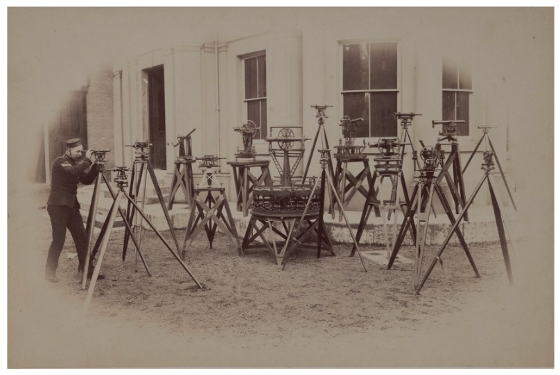
For me, it has to be a mix of the pride in their work and their supreme physical endurance. We now know how accurate their mapping efforts really were, despite the relatively primitive technology at the disposal of all those early OS workers. Using heavy chains for distance measuring, and hauling theodolites to high-points, is no joke – particularly if the weather was bad and you are dressed entirely in tweed – but the fact the work is still of such a high quality stands as a true testament to how much it must have really mattered to get it right.
For readers who know Ordnance Survey only through a paper map or the OS Maps app, what aspect of its history do you think will surprise them most?
I think most people will know that the origins of the OS are steeped in the military, but I loved how the OS had taken the lead in providing the first really mainstream ‘leisure’ maps too. Following the First World War, the OS ‘One-Inch Popular Edition’ would prove hugely successful as a whole new generation of Brits took to two feet (and increasingly two wheels) to explore the countryside on-foot, by-bike and even motorcar.
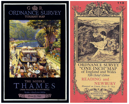
Those maps, beautifully illustrated with the cover art of Ellis Martin, the OS in-house artist, really helped to capture this emerging idea that the British outdoors was a place for everybody to explore with a map in hand.
If you could put just one item from the Ordnance Survey archive on display for every OS Maps user to see, what would it be and why?
Blimey. That’s a huge question! I think I’d have to come back to the Golden Jubilee Book. It is such a beautiful book in itself, but, for me, the map of the Tower of London really helps to challenge the stereotype of Queen Victoria as this somewhat dour and cold character.
Within ‘The Green’ you can spot the inscription: ‘the site of the block’ on the map. This was where the most high-profile prisoners were executed by beheading, but I learned that it was no surprise that this was specifically labelled, as, Queen Victoria herself, had asked for the exact location of these executions. Once she had that, she had then requested a granite stone be laid to commemorate the site. In brief, she was said to be appalled by the executions, particularly those which occurred in public as some-sort of ‘spectacle’.
Her reign oversaw a decline in the use of the death penalty and an end to public executions entirely, but I felt that just that tiny detail, on that map, helped to tell the wider story of a woman who actually possessed quite a compassionate heart.
After spending so much time immersed in Britain’s landscapes and maps, what are the key ingredients that make a route memorable for you?
For me, it has to be wildlife and the wild, but the writing of this book has underlined that there is always so much value to be had in looking for those things that hide in truly unexpected places. So, all that, plus a good pub at the end!
Mapping Britain: The Story of an Island Through the Ordnance Survey Archives is published on 1st October 2026.
As Will’s stories show, maps are far more than navigation tools. They are records of people, places and moments in time. Whether you’re fascinated by local history, curious about how Britain’s landscapes have changed, or simply enjoy exploring with a map in hand, Mapping Britain offers a unique way to see the nation through nearly three centuries of Ordnance Survey history. You can follow all of his work, or ask him about the new book on his Facebook, Instagram or Twitter pages.
Pre-order Mapping Britain today and discover the stories hidden in Britain’s maps.
By Hilary Pullen
Meet Hilary, Editor of OS Maps Discover. Hilary is based in North Wales and loves hiking with her dogs in the mountains of Eryri and Bryniau Clwyd, you can find her on Instagram @nearlyuphill and read her guides to walking in North Wales.
If you would like to be a featured OS Author and write an article or route guide find out more here – how to submit an article idea