The Bayeux Tapestry Is Back in Britain. Explore the Landscape of 1066 on Foot
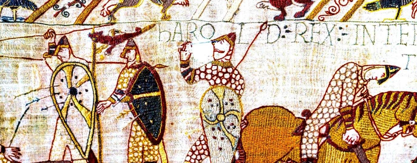
As the Bayeux Tapestry returns to Britain for the first time in nearly 1,000 years, interest in one of history’s most famous stories is set to grow once again. The remarkable embroidered artwork tells the story of the Norman Conquest and the events leading up to the Battle of Hastings in 1066.
But while the tapestry brings the story to life through its vivid scenes, there is another way to experience this pivotal moment in British history. You can walk through the very landscape where it unfolded.
The 1066 Country Walk takes you across the rolling hills, ancient woodland and historic towns of East Sussex, connecting places linked to William the Conqueror’s invasion and the battle that changed England forever.
For walkers, it offers the chance to combine history with a rewarding long distance route. For map lovers, it is also a fascinating opportunity to see how terrain shaped one of the most significant battles in British history.
What is the Bayeux Tapestry?
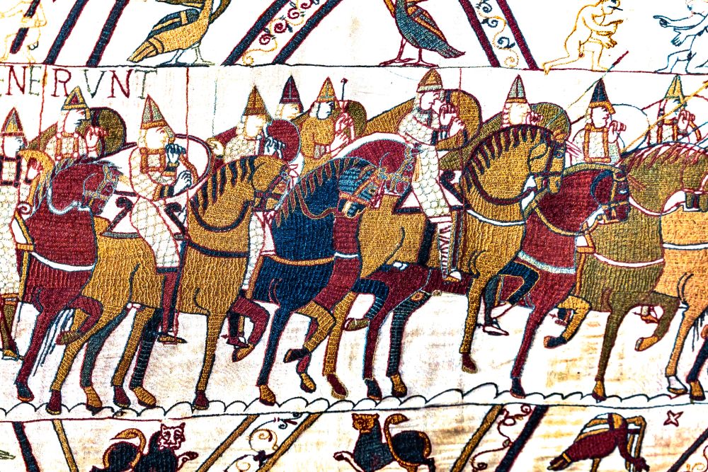
Created in the 11th century, the Bayeux Tapestry stretches almost 70 metres and depicts the events that led to the Norman Conquest of England. Despite its name, it is actually an embroidered cloth rather than a tapestry.
The scenes depict the events leading up to the Norman Conquest, including Harold Godwinson’s coronation as King of England, William’s preparations for invasion, the crossing of the English Channel and the Battle of Hastings itself.
For nearly a millennium the tapestry has been displayed in Bayeux, Normandy. Its return to Britain offers a rare opportunity to revisit the story of 1066 and explore the places where these events took place.
Bayeux Tapestry Timeline
1066
William, Duke of Normandy, invades England and defeats King Harold II at the Battle of Hastings.
c. 1070-1080
The Bayeux Tapestry is believed to have been created, probably in England, a few years after the Norman Conquest.
1476
The tapestry is first recorded in historical documents at Bayeux Cathedral in Normandy.
1803
Napoleon Bonaparte displays the tapestry in Paris as propaganda during preparations for a possible invasion of Britain.
1944
The tapestry survives the Second World War and remains in France.
1983
The Bayeux Museum opens in Normandy, becoming the tapestry’s permanent home.
2026
The Bayeux Tapestry comes to Britain for the first time in almost 1,000 years and goes on display at the British Museum in London.
Why the Landscape Matters
The Battle of Hastings was not fought on an empty field. The shape of the land played a critical role. High ground, visibility and access routes all influenced how the battle unfolded.
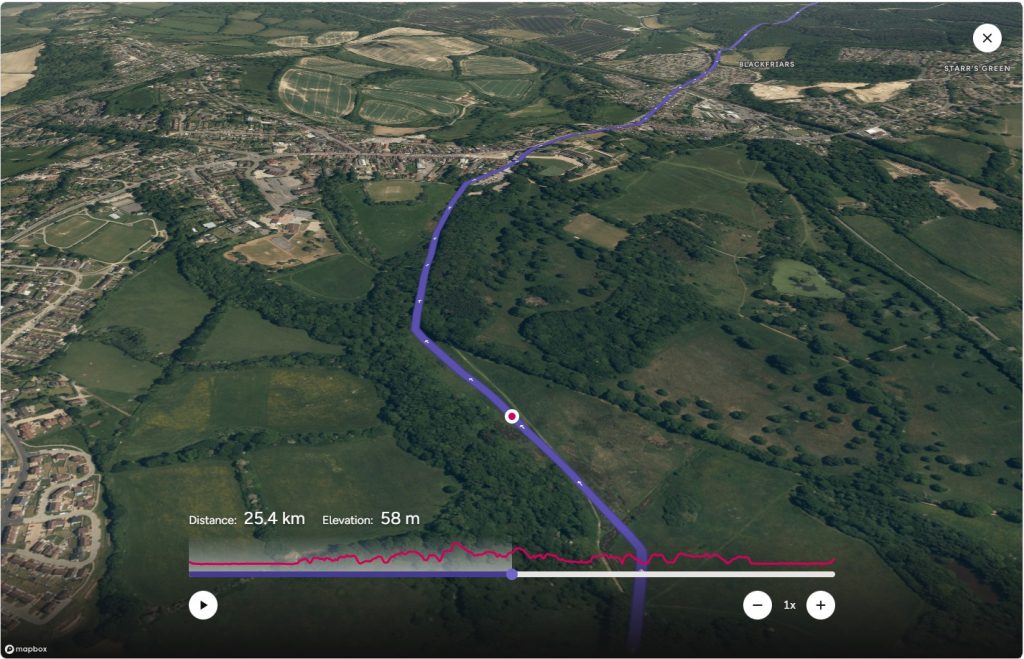
Walking through Sussex today reveals a surprisingly varied landscape of ridges, valleys, woodland and open farmland. Many of these features would have looked familiar to those who fought here nearly 1,000 years ago.
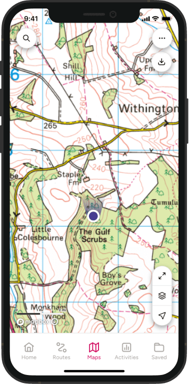
This is where maps can add another layer to the story. By looking at contour lines and terrain features on an OS map, you can begin to understand why certain locations were strategically important and how armies moved through the landscape.
Walking the 1066 Country Walk
After viewing the Bayeux Tapestry at the British Museum in London, why not take the next step and explore the landscapes that inspired it? The 1066 Country Walk leads through the countryside of East Sussex, connecting key locations linked to the Norman Conquest and bringing the story of 1066 to life on the ground.
The 1066 Country Walk is managed and promoted by Visit 1066 Country. For more information head to www.visit1066country.com.
Walk Through the Story of 1066
Whether you’re inspired by the Bayeux Tapestry, interested in British history or simply looking for a rewarding route in Sussex, the 1066 Country Walk offers a unique way to explore one of England’s most significant landscapes.
The route combines well marked trails, historic sites and beautiful countryside, making it an excellent choice for anyone who enjoys discovering the stories behind the places they walk.
Route: 1066 Country Walk
Distance: Approximately 31 miles (50 km)
Duration: 2-3 days, or explore shorter sections as day walks.
Location: East Sussex
Terrain: Woodland paths, farmland, rural tracks and urban sections
Best for: History lovers, long distance walkers and anyone interested in exploring the landscape behind the story of 1066
Highlights along the route include:
While the 1066 Country Walk does not follow the exact route of William’s invading forces, it connects the key places and landscapes associated with the Norman Conquest, allowing walkers to explore the story of 1066 on foot.
Battle Abbey
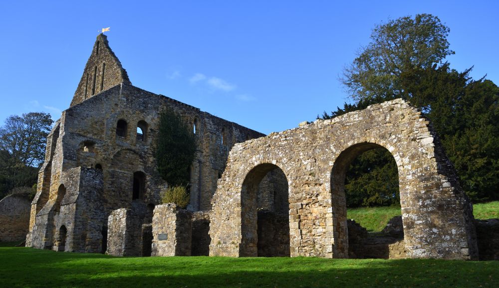
One of the most significant historic sites in England, Battle Abbey was founded by William the Conqueror following his victory in 1066.
The grounds provide a powerful connection to the events depicted in the Bayeux Tapestry and remain one of the best places to reflect on the significance of the battle.
Winchelsea and Rye
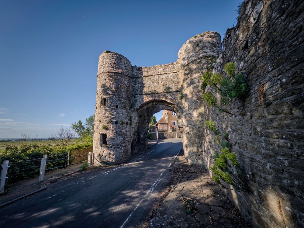
These historic towns offer a glimpse into medieval England. Cobbled streets, ancient buildings and far reaching views across the surrounding countryside help set the scene for a landscape shaped by centuries of history.
Pevensey
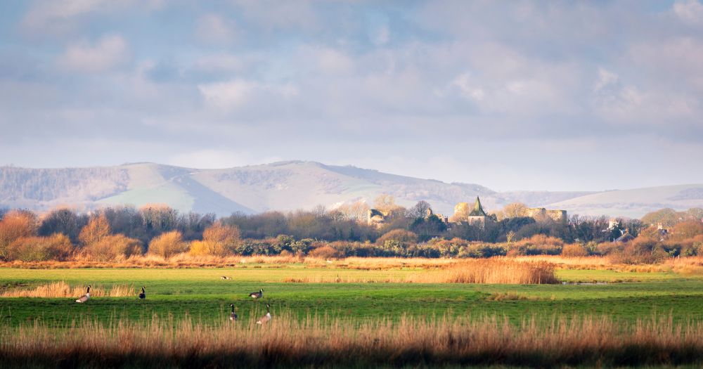
Pevensey is traditionally recognised as the landing place of William’s invading forces. Standing on this coastline today, it is easy to imagine the significance of the arrival that would shape English history for centuries to come.
Navigation Tip: Read the Terrain Like a Historian
One of the best ways to bring the story of 1066 to life is by paying attention to the landscape around you. Before setting out, spend a few minutes looking at the route in OS Maps.
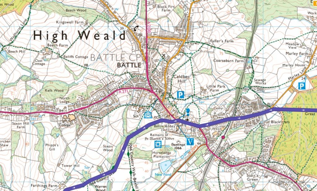
When viewing the route in OS Maps, look out for:
- Ridges and areas of high ground shown by contour lines.
- Valleys and watercourses that may have influenced movement.
- Woodland areas that provide natural cover.
- Historic settlements developed around key routes through the landscape.
These details can help you understand not only where events happened, but why they happened there. Learning to read the landscape is a valuable navigation skill and a rewarding way to add depth to any walk. Take a look at some of our great map reading guides if you’re new to navigating and reading maps.
Discover the Bayeux Tapestry Sculpture Trail
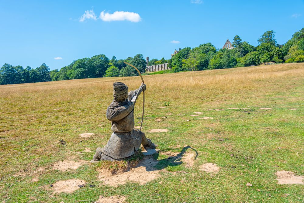
You don’t have to tackle the full 31 miles of the 1066 Country Walk to experience the story of the Norman Conquest. One of the best ways to explore 1066 Country is by using OS Maps to create shorter circular walks that incorporate sections of the trail and visit the unique sculptures inspired by the Bayeux Tapestry.
Click the links to find where they all are on the 1066 Walk.
Landings – Pevensey
Isti Mirant Stella – Herstmonceux
Rest – Ashburnham
Window – Battle
Bound Division– Battle
Hidden Truth – Battle Great Wood, Battle
Farbanks Henge – Westfield
Legacies – Guestling
The Watcher – Winchelsea
Treow – Rye
Spread across East Sussex, these ten artworks form an open-air gallery that connects the landscape, history and legends of 1066. Whether you’re planning a family walk from Pevensey Castle, a woodland wander around Battle, or a circular route exploring Rye and Winchelsea, OS Maps makes it easy to build a walk around one or more sculpture locations.
Explore the 1066 Country Walk with OS Maps
Ready to follow in the footsteps of 1066? Discover the full route in OS Maps, plan your own adventure, and create shorter walks around the historic sites, countryside and landmarks of 1066 Country.
With thanks to Visit 1066 Country for helping preserve and promote this remarkable route through the landscapes of the Norman Conquest.
Which OS Map Covers the 1066 Country Walk?
The majority of the 1066 Country Walk is covered by OS Explorer 124: Hastings & Bexhill, making it an excellent companion for anyone walking the route or exploring shorter circular walks in the area.
The map covers many of the key locations associated with the Norman Conquest, including Battle, Hastings, Rye, Winchelsea and the surrounding East Sussex countryside, with detailed mapping of footpaths, bridleways and rights of way.
Get the map: OS Explorer 124: Hastings & Bexhill
EXPLORE THE
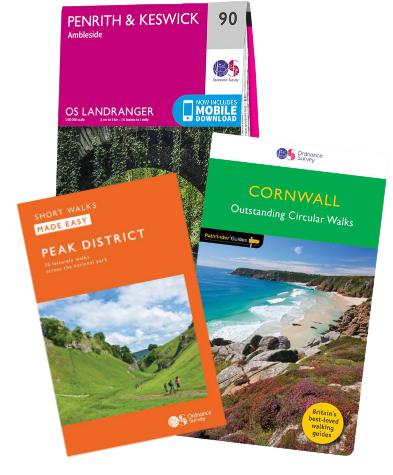
OS Shop
We are with you every step of the way. Shop our trusted walking and hiking maps and guidebooks so you can explore the outdoors with confidence.
Go to the shopOrdnance Survey Paper Map for the 1066 Country Walk
By Hilary Pullen
Meet Hilary, Editor of OS Maps Discover. Hilary is based in North Wales and loves hiking with her dogs in the mountains of Eryri and Bryniau Clwyd, you can find her on Instagram @nearlyuphill and read her guides to walking in North Wales.
If you would like to be a featured OS Author and write an article or route guide find out more here – how to submit an article idea