Best walks to island highpoints
There’s something quietly compelling about standing on the highest point of an island. Not because they are the highest – many are modest hills – but because they offer something rarer: a complete view. Sea on all sides. A sense of edges. A feeling that you can understand a whole place in a single sweep of the eye.
From the volcanic spine of Isle of Mull to the wind-scoured ridges of Shetland and chalk downland of the Isle of Wight, these highpoints are less about altitude and more about perspective and the perfect fit for walk with a difference.
Here are eight of Britain’s most rewarding island highpoints from Ordnance Survey’s list of 82 Islands.
1. Dùn Caan, Isle of Raasay (Island 61)
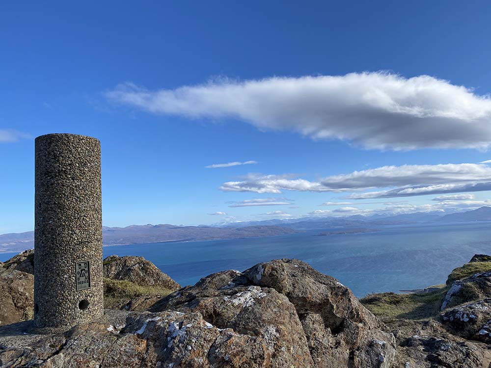
A quieter, more intimate neighbour to Skye, Isle of Raasay is an island of contrasts – woodland and moor, sheltered shores and exposed cliffs – rising quickly from the sea to a single, defining summit.
At just 444 metres, Dùn Caan shouldn’t feel like a mountain, but it does. It delivers that island magic: a summit that feels earned, with views that stretch far beyond its height.
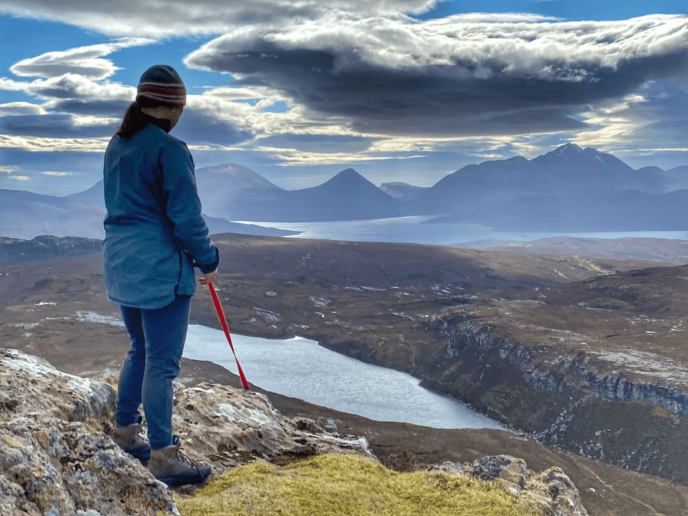
A classic route begins at the ferry terminal, following the quiet road through Inverarish before climbing via the forested ‘Burma Road’ and the waterfalls of Inverarish Burn. Beyond the deer fence, the route crosses open, often boggy moorland to Loch na Mna, then ascends via Beallach Ruadh and Loch na Meilich, where a zig-zag path then tackles the final rocky ramparts to the summit.
From the distinctive flat-topped top, the Cuillin ridge on Skye cuts the horizon, while mainland mountains stack into the distance all the way to the Five Sisters of Kintail. A small island peak revealing a vast geography in one sweep.
2. Ben More, Isle of Mull (Island 79)
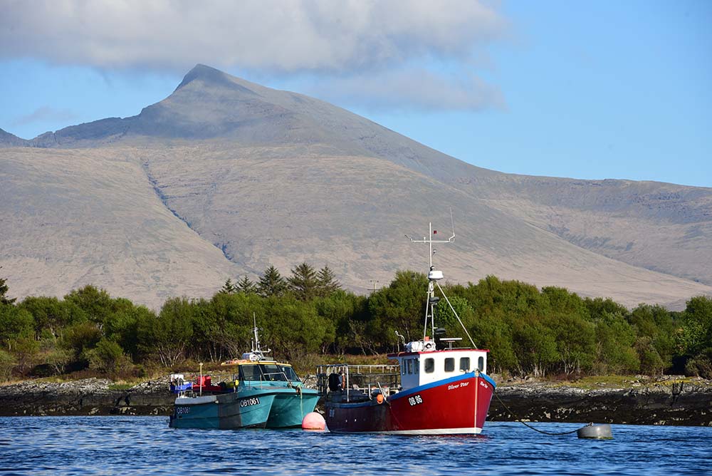
This is a true mountain. At 966 metres, Ben More is the only Munro on Isle of Mull and one of the highest island peaks outside Skye. The climb is long, often rough, and sometimes exposed, but the reward is a 360-degree panorama of Ulva and other islands jutting out of the silver sea, sea lochs cutting deep into the land, and volcanic geology laid bare.
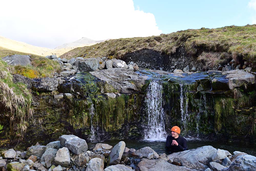
The most straightforward line begins near sea level on the B8035, climbing steadily beside the Abhainn Dhiseig as it threads through a shallow gorge. Higher up, the path becomes rougher and more indistinct, crossing streams and passing the remains of old buildings before steepening alongside a series of waterfalls. As the ridge begins to form, cairns mark the way through increasingly stony ground, the path zig-zagging onto the summit ridge. From here, a short walk leads to the summit, where the full scale of Mull and the wider west coast comes into view. A big, uncompromising climb to one of the finest island high points in Britain and a chance for a refreshing dip in one of the translucent green pools of the Abhainn Dhiseig on your return.
3. An Sgùrr, Isle of Eigg (Island 51)
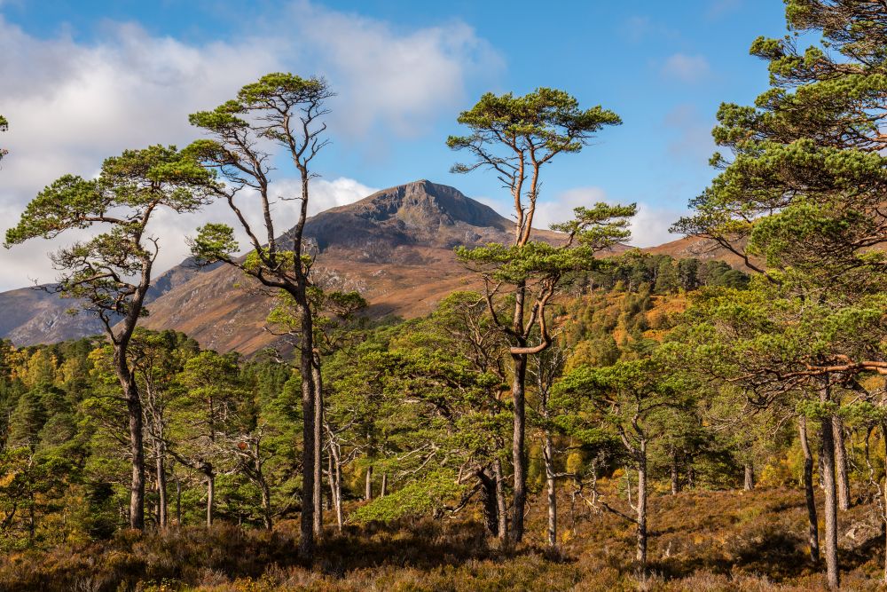
An Sgùrr rises to just 393 metres, but this is no ordinary summit – it forms a dramatic volcanic spine, one of the most distinctive ridges in Britain. The walk is short yet unforgettable: a narrow crest with views plunging to the sea on both sides. From the top the jagged peaks of Isle of Rum dominates the skyline,.
Starting from the ferry pier, follow the road uphill past Galmisdale before branching onto a waymarked path across moorland towards the Sgùrr’s imposing prow. The route skirts the base – often boggy – before climbing steeply through a rocky groove to reach the ridge. From here, a short but hands-on scramble leads to the summit trig point.
At around 8 km (5 miles) with 403 m of ascent, the route is straightforward but demands care on steep ground and exposed rock. Return the same way, allowing time to savour the shifting views across the Small Isles and beyond.
4. Beinn Airein, Isle of Muck (Island 2)
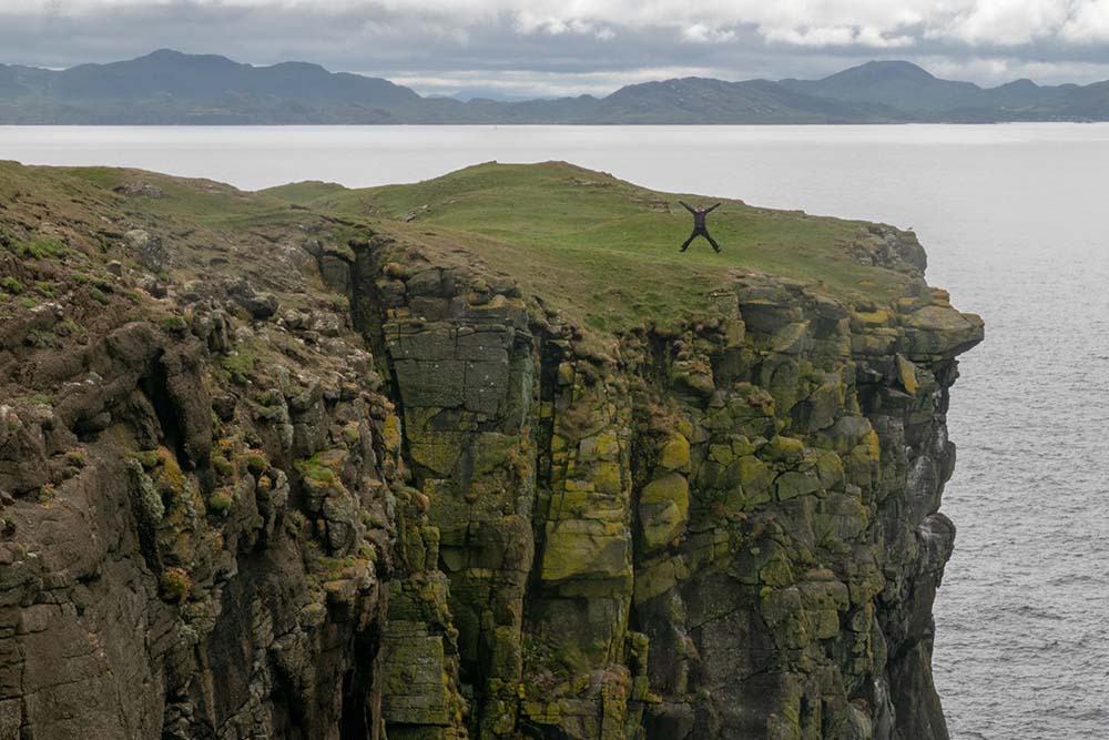
Muck proves you don’t need height for perspective. Its highest point, just over 130 metres, is a gentle rise rather than a climb and part of a 16km coastal circular route around the whole island. Start at the ferry slipway at Port Mòr passing the old jetty, the Green Shed, the café tucked just above the shore. Along the south coast the clockwise route gently ascends grassy clifftops, sheep paths and low ridgelines. Then, a steeper pull beneath broken crags leads onto the clifftop, where the Atlantic suddenly opens out, before the last climb north brings you to the flat summit of Beinn Airein, marked by its trig point. It’s not a high summit in metres, but it feels expansive – with the curve of Camas Mòr below and the neighbouring silhouettes of Isle of Eigg and Isle of Rum set against the horizon, the whole island finally visible in one complete sweep.
5. Ward Hill, Hoy (Island 69)
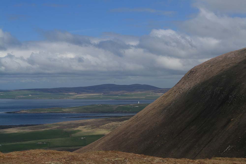
Hoy feels different from the rest of Orkney, it’s wilder, steeper, more elemental. And Ward Hill, at 481 metres, is its crowning point and the highest point in Orkney. The walk rises above Rackwick Bay, with views out to the Old Man of Hoy and across the North Atlantic
The climb to the highpoint begins at Moaness Pier and follows the road inland past the Bay of Quoys before reaching one of Britain’s most unusual prehistoric sites – the Dwarfie Stane, a tomb carved from a single block of sandstone, half-hidden beneath the looming bulk of Ward Hill. From here, it’s an unsubtle direct line upward across open hillside. The climb is relentless, steepening into a sustained pull through heather and rough ground until the gradient finally eases onto a high moorland ridge before the final ascent to the summit of Ward Hill, where a cairn marks the top and the view opens to Rackwick Bay far below, the scattered islands of Orkney beyond, and the sense of having climbed into the elemental heart of the archipelago.
6. Ronas Hill, Shetland (Island 80)
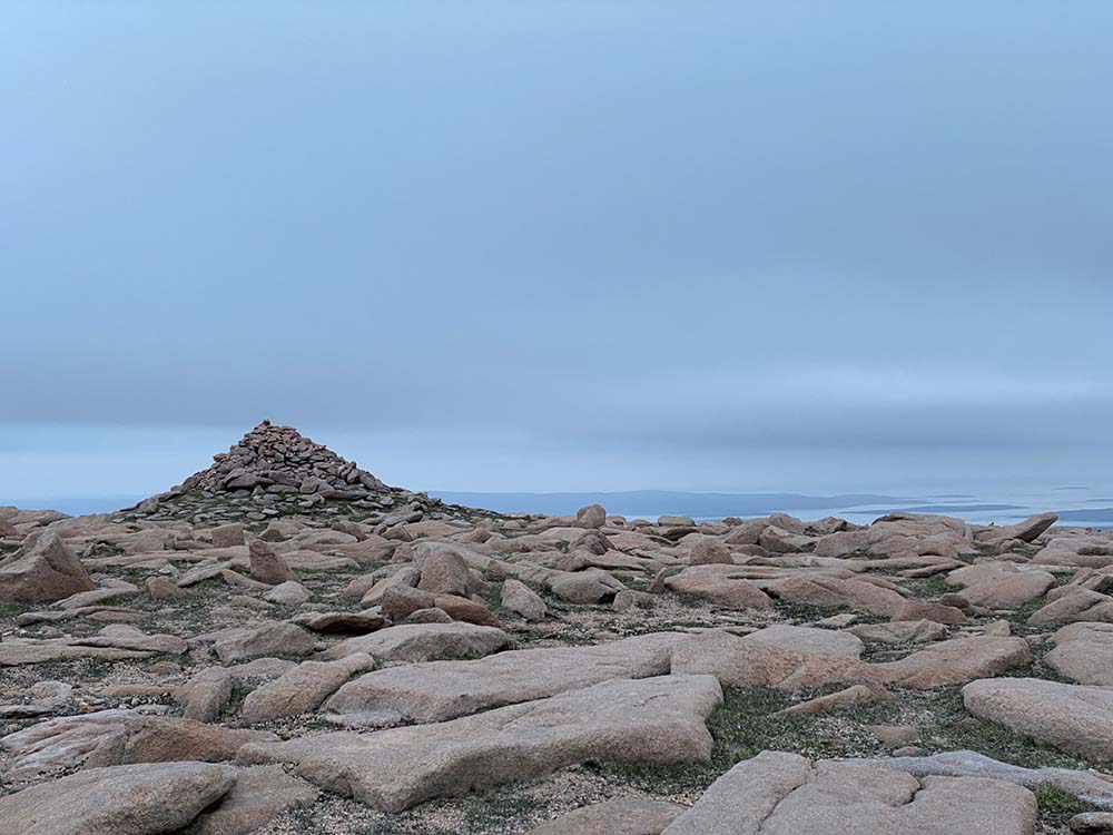
Remote even by Shetland standards, Ronas Hill is a place of space and silence. At 450 metres, it is the highest point in Shetland, crowned by a Neolithic cairn. Here, the land feels almost Arctic – rare plants, sweeping moorland, and views stretching across both the North Sea and Atlantic.
The climb to the highpoint of Shetland begins unusually high, from the masts on Collafirth Hill – a head start that quickly dissolves into something far wilder. Almost immediately, any sense of path disappears, replaced by a vast sweep of stony, tundra-like ground stretching towards Ronas Hill. This is a landscape stripped back to its essentials: rock, sky, wind.
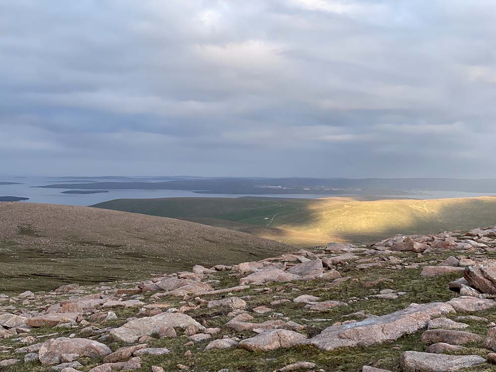
The route dips across the hollow of Uyea Scord before rising again through a series of cairn-marked waypoints, where distance feels deceptive and navigation becomes part of the journey. There’s no dramatic ridge or single push – instead, the climb unfolds as a slow, steady gathering of height across a high plateau, until the final ascent onto Ronas Hill’s broad granite dome. From the summit, marked by a trig point within a windshelter cairn, the scale of the north opens out: the indented coastline of Northmavine, the tidal island of Uyea, and beyond that, open ocean. It’s a summit that where you can feel the ancient forces that shaped these islands – in both spirit and rock.
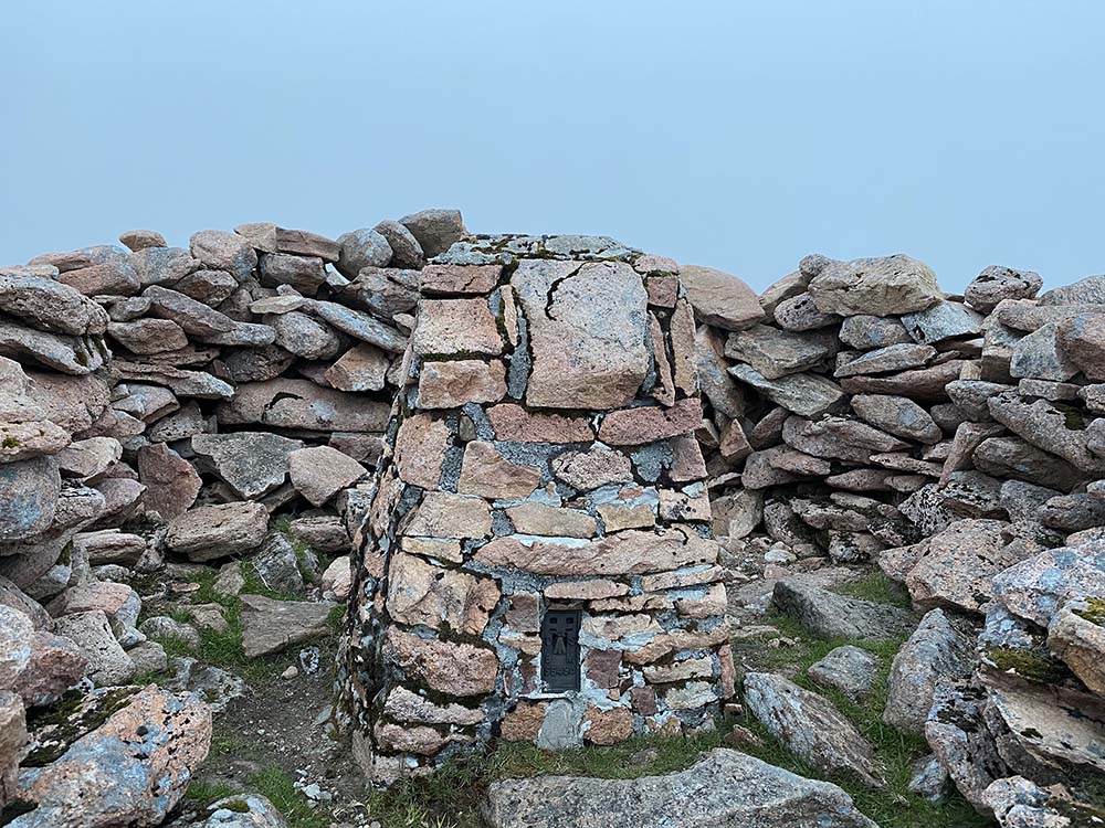
7. Holyhead Mountain, Holy Island (53)
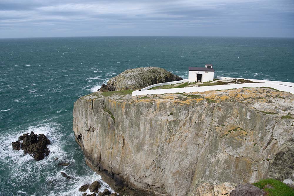
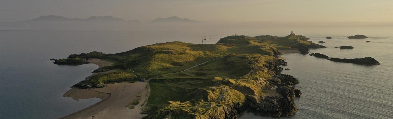
Rising above the cliffs of South Stack, Holyhead Mountain is less about height and more about drama. Seabirds wheel below, waves crash against the rocks, and Ireland hovers just beyond the horizon.
One of the most accessible island highpoints, the 7.7 km walk combines coastal path, a short steep ascent, and a return past one of Britain’s most important seabird cliffs. Start at Breakwater Country Park and take the rock-cut steps up to the coastal path. Views open quickly over Holyhead Harbour, with ferries heading to Ireland and The Skerries visible offshore. Follow the path past old quarry remains and the foghorn station at North Stack, where cliffs drop sharply to the sea.
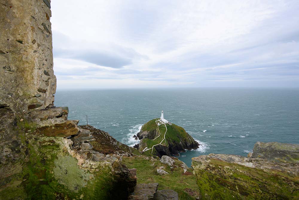
Turn inland on a steeper, rocky track and climb towards the summit, passing the Iron Age hillfort of Caer y Twr. The final ascent leads to the trig point at 220m, with wide views across the coast and to the mountains of Snowdonia.
Descend south towards South Stack Lighthouse, where seabird colonies fill the cliffs -guillemots, razorbills, kittiwakes and choughs are common. Continue past Ellin’s Tower, then follow paths north-east and east beneath the mountain, returning via farmland and tracks to the start.
A short route, but one with real exposure, wildlife and a strong sense of place.
8. St Boniface Down, Isle of Wight
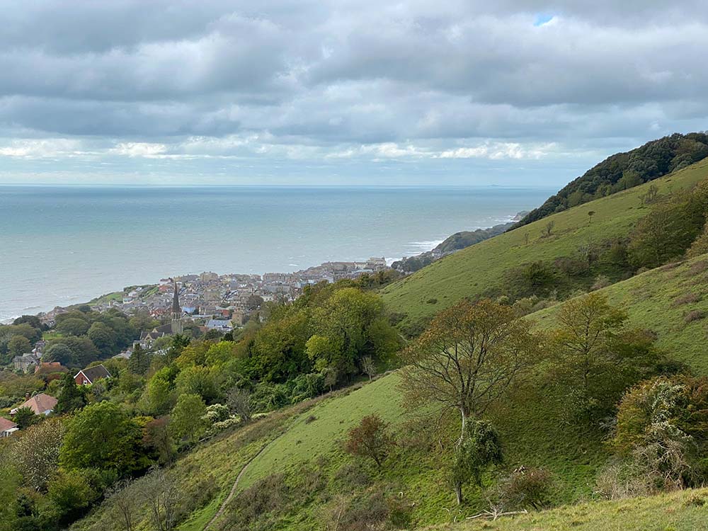
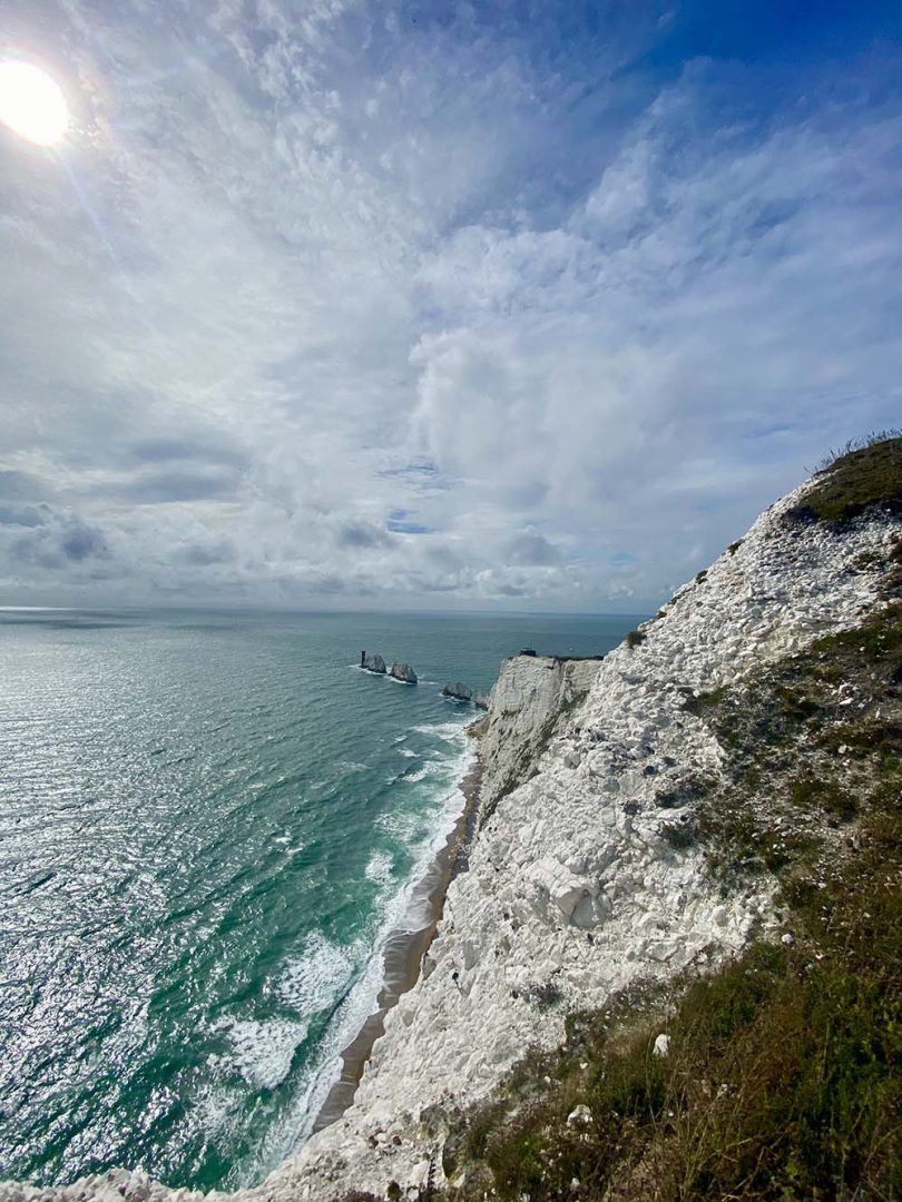
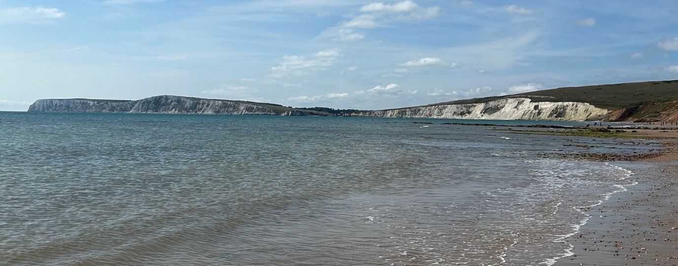
St Boniface Down is the highest point (242 metres) on the Isle of Wight with great views over the coastline at Ventnor. It is also home to the seven-centimetre-long great green bush-cricket which, from May to October, can be seen in the trees and grassland or their very loud sewing machine-like ‘song’ may be heard. Cricket-spotting may be combined with a fabulous circular walk from the car park at Ventnor Downs, across Luccombe Down, Bonchurch Down and St Boniface Down. Some sections are steep, but it is worth it for the views to Sandown Bay, Culver Cliff and across the island towards Portsmouth.
There is also the chance of bumping into the island’s feral herd of Old English Goats on Bonchurch Down and Coombe Bottom. The walk passes various World War II buildings and the RAF Ventnor radar station, which played an important role in the Battle of Britain. Find the St Boniface down walking route here
Adventure with purpose
There’s plenty of wildlife along these walks, but much of it is under-recorded – especially on remote coastlines and mountain-tops where monitoring is limited. That matters, because without good data it’s harder to track change, from shifting species to pollution and habitat loss.
One of the simplest ways to help is through citizen science: recording what you see (or don’t) as you go. Apps like SeagrassSpotter, iNaturalist, the Big Seaweed Search logs species records and indicators, and Beachwatch records marine litter.
Taken together, these observations build a bigger picture – increasingly important on islands, where change is often seen first.
Small summits where the map comes to life
Island highpoints aren’t always about ‘bagging’ the biggest hills – they’re about standing somewhere that brings the whole island into focus. From the distinctive peaks of Raasay and Eigg to the historic peak of Orkney, each one offers a unique perspective of Britain’s fragile edge. Climb them, and the OS map comes to life – the whole island laid out in front of you.
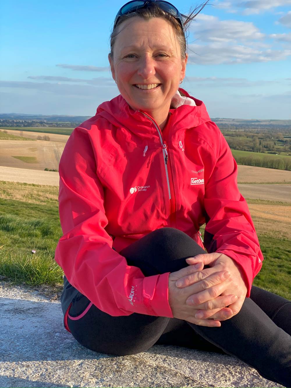
This post is written by OS Champion Lisa Drewe who is currently undertaking a challenge to visit all 82 of the Islands of Britain over 5 square kilometres. Lisa aims to uncover the island’s unique landscapes, wildlife, and communities, while sharing how visitors can explore responsibly and support island ecosystems.
By Lisa Drewe
OS Champion, Lisa Drewe,
Lisa Drewe is an author, explorer, and the founder of the website Islandeering, a personal project dedicated to helping people discover UK island adventures with purpose. She has already explored over 500 British islands, written award-winning guidebooks, and champions regenerative travel and conservation.
Lisa is now on a mission to visit (and in some cases revisit) all 82 islands featured on our print. Along the way, she’ll uncover their unique landscapes, wildlife, and communities, while sharing how visitors can explore responsibly and support island ecosystems. Find out more about Island82