In any discussion of routes, navigation or GPS devices, you have probably seen people mentioning ‘GPX files’. GPX is shorthand for GPS eXchange Format and is a type of file that’s really helpful to anyone who loves the outdoors, plus it’s the most popular way of saving and exchanging routes.
What’s in a GPX file?
You can open a GPX file in any text editor, and you’ll get something like the image below. While this looks complex, all most people need to know is that it is a list of precise locations, in order, that make a up a route for walking, running, cycling or any other activity. This route can then be displayed on top of a map for printing or following on screen.

What does GPX stand for?
GPX stands for GPS Exchange Format. It is an open file format used to store location information such as routes, tracks and waypoints. Because it is widely supported, GPX files can be used across apps, GPS devices and mapping platforms. GPS stands for Global Positioning System which is a satellite-based navigation system owned by the United States Space Force and operated by Mission Delta 31. It provides geolocation, navigation, and time (PNT) information to receivers anywhere on or near Earth
GPX Route vs GPX Track: What’s the Difference?
Although the terms are often used interchangeably, a GPX route and a GPX track are not the same thing.
A GPX route is a planned journey. It contains a series of waypoints that define where you want to go and is often created before heading outdoors. Routes are useful when planning a walk, ride or run in advance and can be edited easily as your plans change.
A GPX track is a record of where you’ve actually been. It consists of a series of GPS points recorded by a device or app while you’re moving. Tracks are useful for reviewing a completed activity, sharing a route you’ve followed, or retracing your steps.
Route or track: which should you use?
| GPX Route | GPX Track |
|---|---|
| Planned before setting off | Recorded while travelling |
| Contains waypoints and navigation instructions | Contains hundreds or thousands of GPS location points |
| Easier to edit and customise | Shows exactly where someone travelled |
| Often used for route planning | Often used for route sharing and activity recording |
For example, you might create a GPX route in OS Maps before a day on the hills, then record a GPX track during your walk to compare your planned route with the path you actually followed.
Many modern mapping apps and GPS devices can work with both formats, but understanding the difference can help you choose the right file when downloading routes or sharing your adventures with others.
Why does the difference matter?
If you’re downloading a route from a website or a friend, it’s useful to know whether you’re getting a route or a track.
A route may provide more flexibility, allowing your device or app to guide you between waypoints. A track, on the other hand, shows the exact path that was followed and is often the best option for replicating a proven route on the ground.
For most walkers and hikers, both formats are valuable. The important thing is understanding that routes are typically used for planning, while tracks are generally used for recording and sharing outdoor activities.
How are GPX files used?
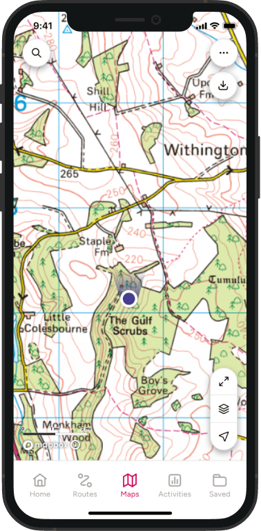
GPX files are commonly used by mapping apps, GPS devices and outdoor navigation platforms to share routes, tracks and waypoints. Walkers, runners and cyclists often download GPX files before an activity, then import them into a compatible app or GPS device for navigation.
Because GPX is an open format, the same file can usually be used across different platforms and devices, making it one of the most popular ways to share outdoor routes.
Want to use a GPX file in OS Maps? Read our guide to importing GPX files, downloading routes and using GPX navigation on your phone.
What else is a GPX file good for?
GPX files can contain a time for each point and therefore the route as a whole. This is really useful for comparing your performance with your previous best or with others and is a favourite of runners and cyclists.
Miniature GPS loggers can be attached to wildlife and pets. These create GPX files and can be used to understand more about animal behaviour – or just to find out where your cat is getting its second dinner from.
Technical stuff…
GPX files are a type of XML file initially designed for use by GPS devices, but now used more widely for exchanging route information between different devices and systems. There is an official schema currently at version 1.1 that describes how GPX files should be constructed.
Most of the problems with GPX files come from sources which add additional information that is not compatible with all devices that can use GPX files, or GPS files that contain a very large number of individual points.
This mean that you cannot open a GPX file created in certain systems in another. There are some desktop and online tools that will try to tidy the files, and there is always the option of manually editing them using a plain text editor, such as Notepad in Windows or TextEdit on Mac to strip out the offending parts.