
Article filter
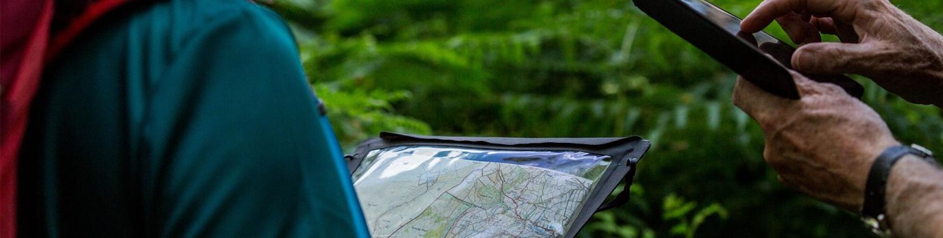
Advanced navigation for poor visibility
When you’re walking, running or climbing at night or in poor visibility, things don’t always go as planned. This advanced map reading guide offers expert advice on how to find your location and never be lost again.
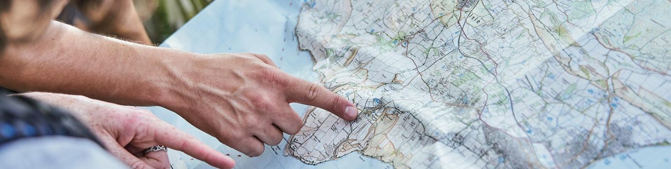
A Beginner’s Guide to OS Map Symbols
This simple map reading guide explains every map symbol on an OS Explorer map (1: 25 000 scale), most popular for walking and cycling. Learn what each map symbol represents on the ground and how you can find points of interest, access land and public rights of way to make the most of your time outside.
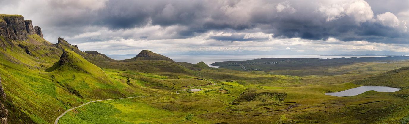
Advanced guide to reading contours and relief
Understanding contour lines and relief on a map is essential for safe planning and navigation across the varied terrain you may encounter on your outdoor adventures. This guide explain all you need to know about contours and help you read valley and ridge contour lines, slopes and spurs on an OS Map map.
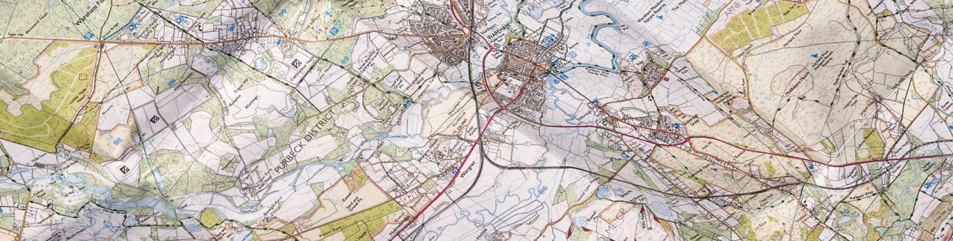
An advanced guide to understanding map scale
Understanding map scales is vital to successfully using maps for planning and navigation. Boost your map reading skills with this advanced guide for understanding Ordnance Survey map scales and key features on each OS map.
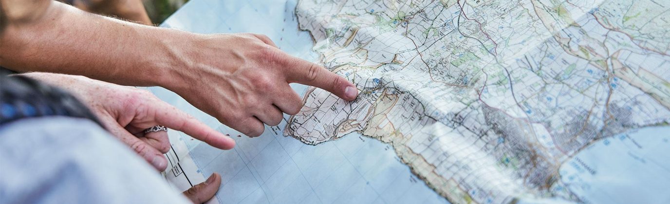
A Beginner’s Guide to Grid References
Improve your map reading skills by learning how to read a 4-figure, 6-figure or 8-figure national grid reference. This grid reference finder is suitable for beginners and includes short ‘how to’ videos.
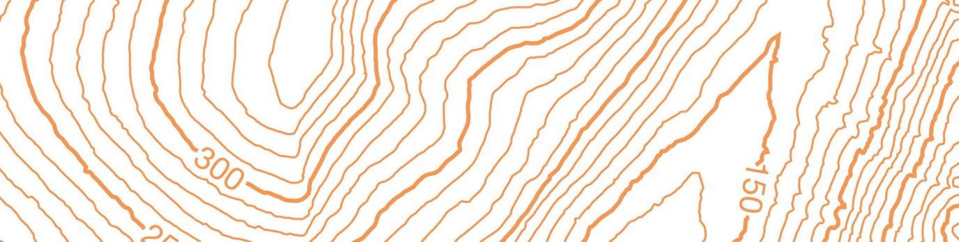
A Beginner’s Guide to Understanding Map Contour Lines
Learn the use and meaning of contour lines on a map and understand how to use them to when you’re out and about or planning routes. Understanding contours will improve your map reading skills.
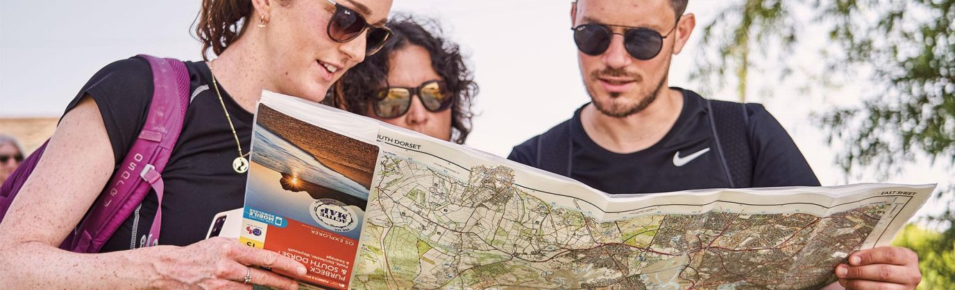
A Beginner’s Guide to Understanding Map Scales
Have you ever got confused about what a map scale is, or wondered what is the difference between our OS Landranger and OS Explorer maps? This beginner’s guide to understanding map scales will help! Includes a short video for easier learning.
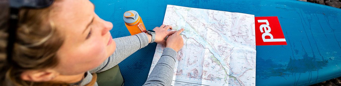
A Beginner’s Guide to Measuring Distance on a Map
Measuring distance is a key tool in map reading and is especially useful for hikers and cyclists who want to measure how far they have travelled or how far they wish to go. Learn how to easily measure distance on a map with our quick and simple guide.
Map Reading Skills – Advanced Guides
This collection of advanced guides will enhance your navigation skills and prepare you for the most extreme of adventures.